- Opava (river)
-
Opava 
The Opava near Háj ve SlezskuOrigin Hrubý Jeseník
50°7′32.2″N 17°22′47″E / 50.125611°N 17.37972°EMouth Oder
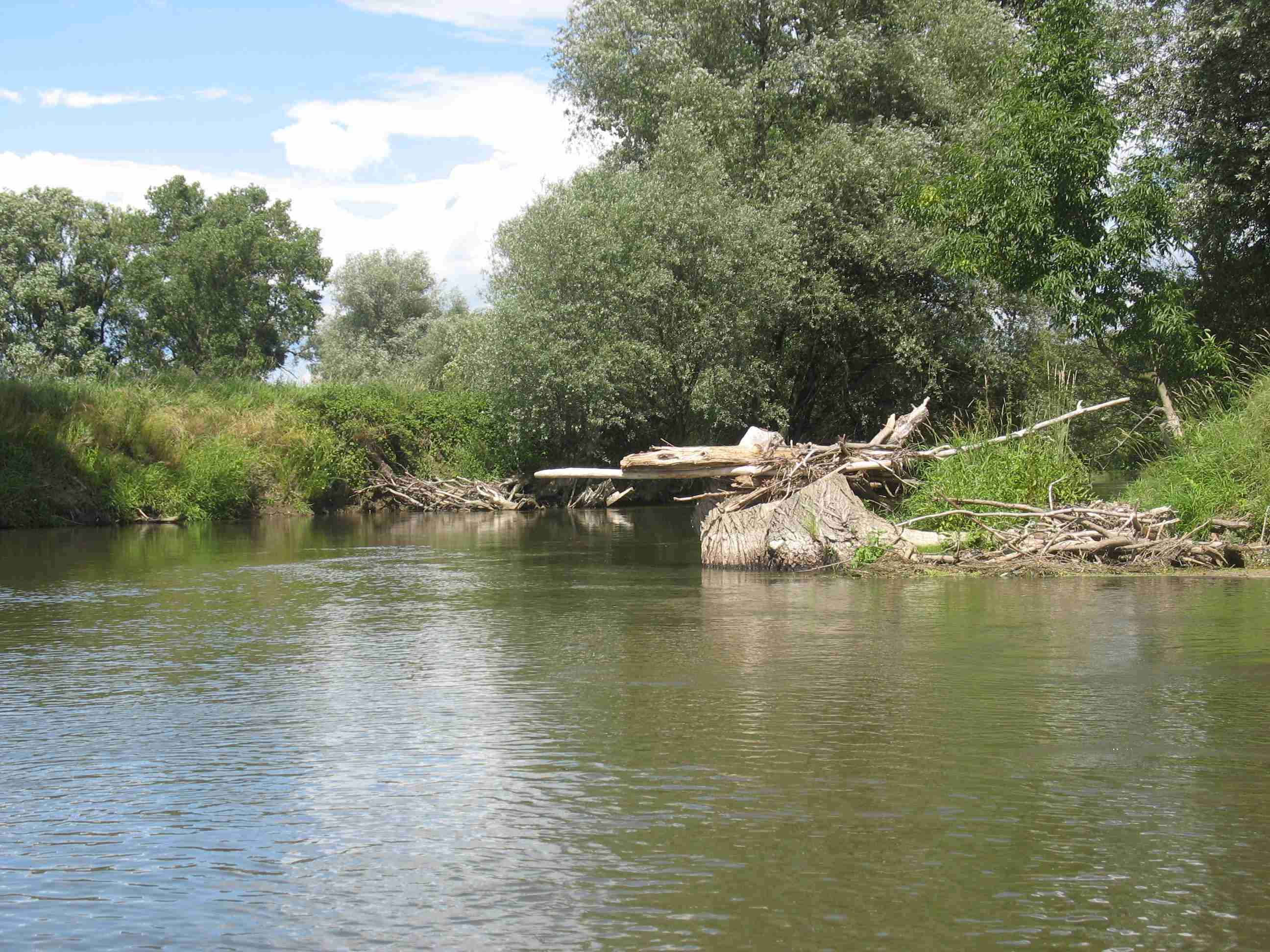
49°50′0.49″N 18°13′16.51″E / 49.8334694°N 18.2212528°EBasin countries Czech Republic, Poland Length 119 km (74 mi) Source elevation 520 meters (1,710 ft) The Opava (Czech: Opava, Polish: Opawa, German: Oppa) is a river in the north-eastern Czech Republic, a left tributary of the Oder river. It originates at the confluence of Bílá (White), Střední (Middle) and Černá (Black) Opava in Vrbno pod Pradědem and runs over 119 km (74 mi) to the Oder at Ostrava, with some 25 km (16 mi) forming the border with Poland.
After the 1742 First Silesian War the Opava river in the Duchy of Troppau by the terms of the Treaty of Breslau became the border between Austrian and Prussian Silesia (the later Province of Silesia). After World War I the demarcation was confirmed by the 1919 Treaty of Saint-Germain-en-Laye as the border between Czechoslovakia (Czech Silesia) and the Second Polish Republic.
Towns
Coordinates: 49°50′00.49″N 18°13′16.51″E / 49.8334694°N 18.2212528°E

This Moravian-Silesian Region location article is a stub. You can help Wikipedia by expanding it.