- Ontario Food Terminal
-
 The Ontario Food Terminal
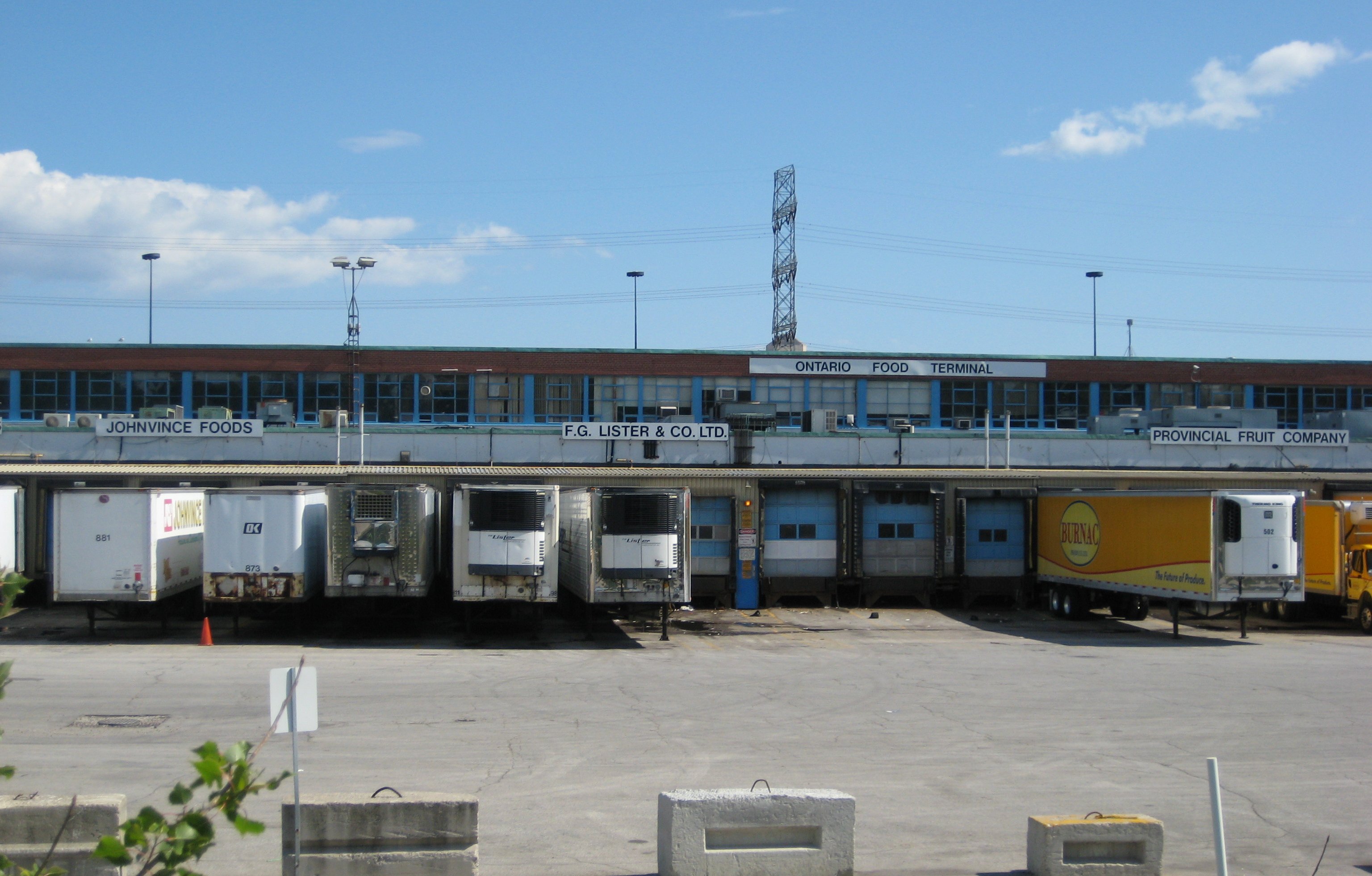
The Ontario Food Terminal is the main produce distribution centre for Toronto, Canada. It is located on The Queensway in Etobicoke just off the Gardiner Expressway. Annually some one million vehicles arrive at the centre delivering produce from across North America or leave to distribute it to stores and restaurants across the city. It is the largest such facility in Canada, and the third largest in North America after those in Chicago and Los Angeles.[1] The fruits and vegetables are shipped to the terminal from Ontario farms as well as more distant locales such as Florida, California, and Mexico. At the terminal local buyers meet the sellers and haggle over prices. It is thus the main market for establishing produce prices in the region. The majority of the produce eaten in Toronto moves through the terminal, though some of the largest stores such as Loblaws contract directly with growers and do not use it.
The OFT was constructed in 1954. Previously the main distribution centre for Toronto was the St. Lawrence Market, but congestion made it difficult to access and the new terminal was constructed on what was then the edge of town. Originally most of the shipments arrived by rail, but today it mostly arrives by truck. Some are flown in via nearby Pearson Airport. It is located on a forty acre site, and the facility itself covers some 1,740,000 square feet (162,000 m2). This includes 80,000 square feet (7,400 m2) of cold storage.
The Ontario Food Terminal is owned by the provincial government and managed by the arms length Ontario Food Terminal Board, which leases space in the market to the distribution companies. The board members are appointed by the Lieutenant Governor of Ontario on recommendation from the Minister of Agriculture and Food.
References
- Sampson, Susan. "The (food) terminal men" Toronto Star. Apr 04, 2007
- Mintz, Corey "The mother of all fruit markets." Eye Weekly May 07, 2008
- Ontario Food Terminal - Landscape Infrastructure
External links
Coordinates: 43°37′43″N 79°29′07″W / 43.628732°N 79.485397°W
Categories:- Buildings and structures in Toronto
- Food markets in Canada
Wikimedia Foundation. 2010.