- Onigam Lake
-
Onigam Lake Lake Country Canada Province Ontario Region Northwestern District Kenora Part Kenora, Unorganized Part of Hudson Bay drainage basin Elevation 93 m (305 ft) Coordinates 55°21′39″N 90°33′28″W / 55.36083°N 90.55778°W Mouth Unnamed river - coordinates 55°21′39″N 90°36′39″W / 55.36083°N 90.61083°W Length 6.5 km (4 mi) Width 0.4 km (0 mi) 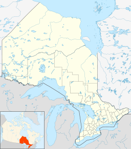
 Location of Onigam Lake in Ontario.
Onigam Lake is a lake in the Hudson Bay drainage basin in Unorganized Kenora District in Northwestern Ontario, Canada. It is about 6.5 kilometres (4.0 mi) long and .4 kilometres (0.2 mi) wide, and lies at an elevation of 93 metres (305 ft). The primary outflow is an unnamed river at the west, which flows downstream through an unnamed lake a total distance of 5.8 kilometres (3.6 mi) to the Sturgeon River at 55°21′09″N 90°41′54″W / 55.3525°N 90.69833°W, about 5.3 kilometres (3.3 mi) upstream from Sturgeon Lake. The Sturgeon River flows via the Echoing River and the Hayes River to Hudson Bay.
References
- "Onigam Lake". Geographical Names Data Base. Natural Resources Canada. http://geonames.nrcan.gc.ca/search/unique_e.php?id=FCGZD&output=xml. Retrieved 2011-03-01.
- "Onigam Lake". Atlas of Canada. Natural Resources Canada. 2010-02-04. http://atlas.gc.ca/site/english/search/GazetteerMapService?uniquekey=FCGZD. Retrieved 2011-03-01.
Categories:- Lakes of Kenora District, Ontario
- Northern Ontario geography stubs

Wikimedia Foundation. 2010.