- Nymboida, New South Wales
-
Nymboida
New South Wales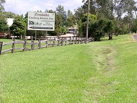
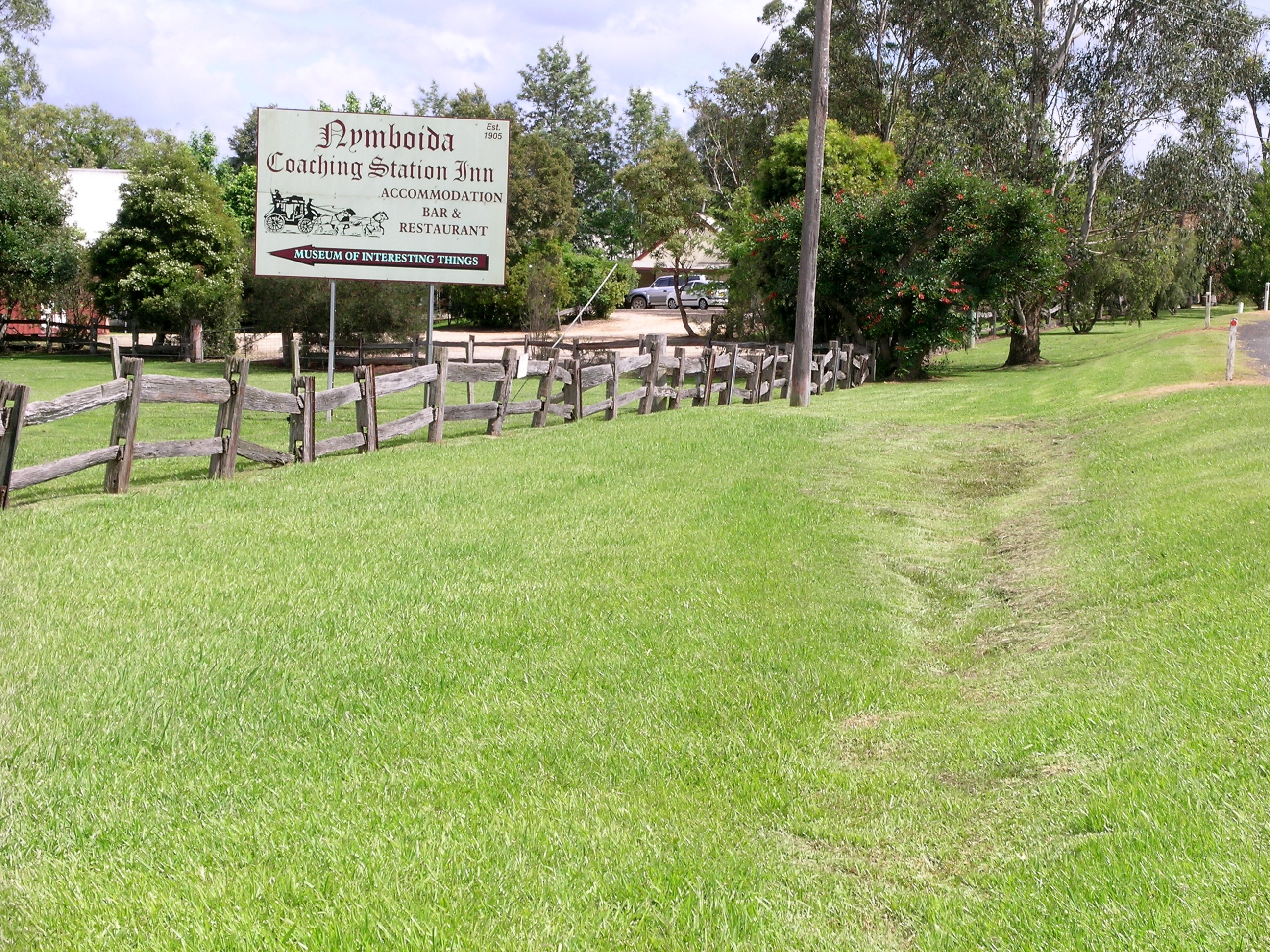
The Coaching Station Inn, Nymboida.
 Nymboida
Population: 427 Postcode: 2460 Elevation: 195 m (640 ft) Location: 44 km (27 mi) from Grafton LGA: Clarence Valley County: Fitzroy State District: Clarence Federal Division: Page Nymboida is a rural village located in the Northern Rivers region of New South Wales, Australia. It is located about 21 kilometres south-west of Coutts Crossing, 44 kilometres south-west of Grafton and approximately 687 km north of Sydney. Nymboida is close to the challenging and popular white water rafting waters of the Nymboida River along the Armidale–Grafton Road. The village is in the Clarence Valley Council Local Government Area of NSW.
In the 2006 Census there were 427 persons usually resident in the Nymboida area: 52.9% were males and 47.1% were females. Of these residents 2.6% were Indigenous persons. [1]
Nymboida was established as a service stop for Cobb and Co stagecoaches, bullock teams, timber cutters, graziers and other pioneers who stopped here on the wool road from Armidale to Grafton. Nymboida now has an inn, general store, police station and a primary school that has 19 pupils enrolled.[2] Agriculture and tourism are the main sources of income in the region.
See also
References
- ^ Australian Bureau of Statistics (25 October 2007). "Nymboida". 2006 Census QuickStats. http://www.censusdata.abs.gov.au/ABSNavigation/prenav/LocationSearch?collection=Census&period=2006&areacode=SSC18431&producttype=QuickStats&breadcrumb=PL&action=401. Retrieved 2011-06-29.
- ^ "School Locator". New South Wales Department of Education. http://www.schools.nsw.edu.au/schoolfind/locator/?do=showRecord&code=2784. Retrieved 2011-07-06.
External links
Categories:- Towns in New South Wales
- North Coast, New South Wales

Wikimedia Foundation. 2010.