- Northside, Lexington
-
Northside — Neighborhood of Lexington, Kentucky — Country United States State Kentucky County Fayette City Lexington Area – Total 0.572 sq mi (1.48 km2) Population (2000) – Total 3,875 – Density 6,774/sq mi (2,618.2/km2) Time zone Eastern (EST) (UTC-5) – Summer (DST) EDT (UTC-4) ZIP code 40507, 40508 Area code(s) 859 Northside is a neighborhood in northern Lexington, Kentucky, United States. Its boundaries are Loudon Avenue to the north and east, Short Street, Midland Avenue, and Winchester Road to the south, and Newtown Pike to the west.[1] Parts of it include Lexington's most impoverished and crime ridden areas[citation needed].
Neighborhood statistics
- Population in 2000: 3,875
- Land area: 0.572 square miles (1.48 km2)
- Population density: 6,774 people per square mile (2,618.2 km²)
- Median household income: $26,159[1]
References
- ^ a b Northside Neighborhood Profile city-data.com. Retrieved on 2011-01-01
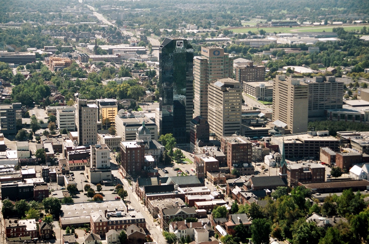
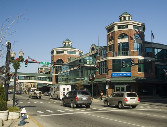
Lexington, Kentucky Subject areas Cityscape • Culture • Demographics • Economy • Education • Geography • Government • History • Major employers • Media • Parks • People • Sports • Transportation


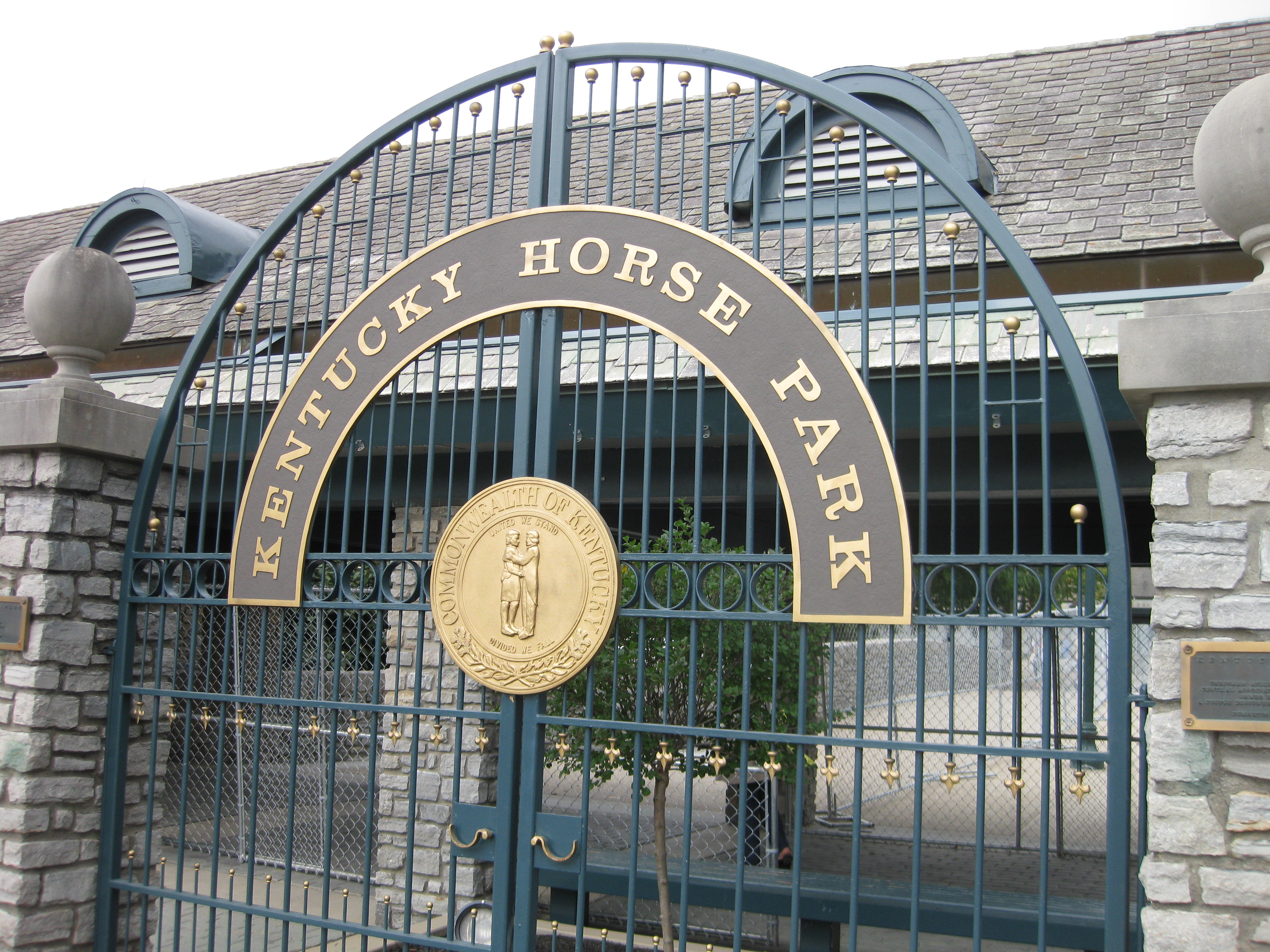
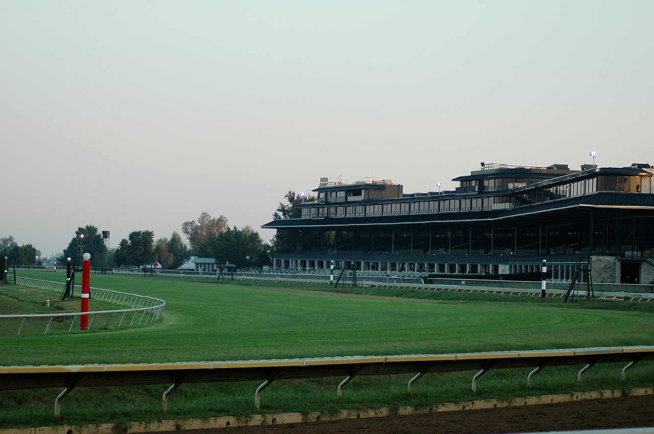
Top subjects 2010 FEI World Equestrian Games • CentrePointe • Keeneland • Kentucky Horse Park • Kentucky Wildcats • Lexington in the Civil War • The Red Mile • Transylvania University • University of KentuckyNational
Historic
LandmarksNortheast neighborhoods Northwest neighborhoods Calumet • Cardinal Valley • Highlands • Highland Park • Meadowthorpe • Masterson Station • Melrose Park • Oakwood • Saddle Club • Speigle Heights • Spindletop • WestmorelandSoutheast neighborhoods Andover Forest • Andover Hills • Ashland Park • Athens • Autumn Ridge • Bell Court • Belleau Woods • Brigadoon • Castlegate • Chevy Chase • Cumberland Hill • Eastside • Fairway • Gainesway • Greenbrier • Hartland • Idle Hour • Kenwick • Kirklevington • Lakeview Islands • Landsdowne • Liberty Heights • Montclair • Mount Tabor • Pickway Corner • Shadeland • Southern Heights • Southpoint • Tanbark • Woodhill • Waterford • Woodland Park • ZandaleSouthwest neighborhoods Beaumont Park • Beaumont Centre • Burley Park • Cherokee Park • Claymont • Clemens Heights • Colony • Copperfield • Cross Keys • Davis Bottom • Deerfield • Dogwood Trace • Elizabeth Street • Firebrook • Gardenside • Garden Springs • Golf View Estates • Harrods Hill • Headley Green • Hill N Dale • Indian Hills • North Elizabeth Street • Open Gates • Palomar Hills • Picadome • Pine Meadow • Plantation • Rabbit Run • Rosemill • Seven Parks • Skycrest • South Broadway Park • South Hill • Southland Park • Stonewall • Wellesley Heights • Wellington • WGPL • Willow Oak • Woodward Heights • Wyndham DownsProminent suburbs Frankfort • Georgetown • Lawrenceburg • Mount Sterling • Nicholasville • Paris • Richmond • Versailles • Wilmore • WinchesterCategories:- Neighborhoods in Lexington, Kentucky
Wikimedia Foundation. 2010.