North Boondall railway station
- North Boondall railway station
-
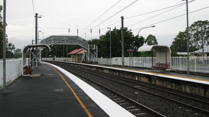
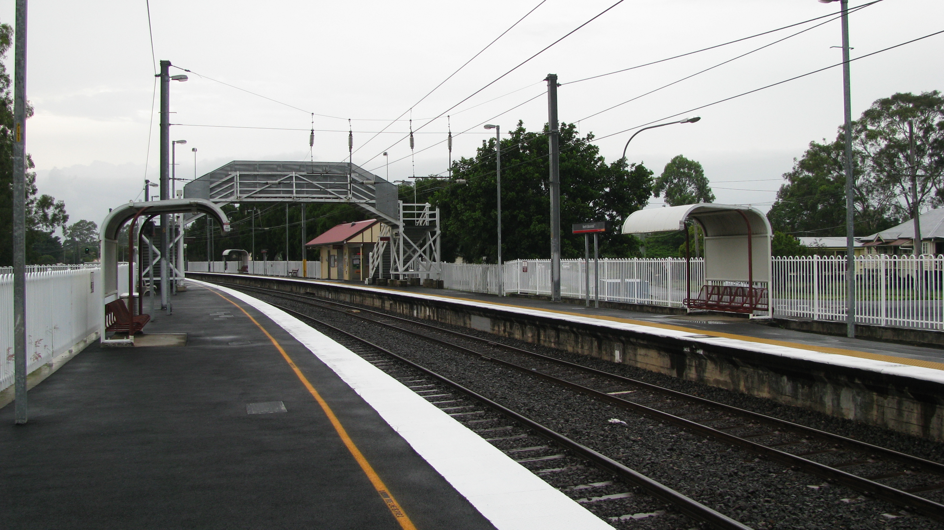
North Boondall railway station is a railway station on the Shorncliffe line in Boondall, a northern suburb of Brisbane, the state capital of Queensland, Australia. It is part of the Queensland Rail City network, falling within Zone 4 of the TransLink integrated public transport system.
North Boondall station was originally Boondall station, which moved to its current location on the opening of Brisbane Entertainment Centre[citation needed]
Services by platform
Platform 1
- Ipswich Line – all stations and peak hour express services to the City and Corinda/Ipswich (weekdays)
- South Bank – all stations to the City and South Bank (weekends/public holidays)
Platform 2
References
External links
Categories:
- Railway stations in Brisbane
- Queensland rail transport stubs
Wikimedia Foundation.
2010.
Look at other dictionaries:
North Boondall railway station, Brisbane — Citytrain Station station name=North Boondall region=Brisbane North servicearea1=Shorncliffe IB1=Boondall OB1=Deagon street=Lyndhurst Road suburb=Boondall zone=4 distance=17.16 platforms=2 platform arch=2 side platforms access=Overpass… … Wikipedia
Boondall railway station, Brisbane — Citytrain Station station name=Boondall region=Brisbane North servicearea1=Shorncliffe IB1=Nudgee OB1=North Boondall street=Aberdeen Parade suburb=Boondall zone=3/4 distance=16 platforms=2 platform arch=2 side platforms access=Overbridge… … Wikipedia
Northgate railway station — Northgate Station statistics Address Ridge Street, Northgate … Wikipedia
Deagon railway station — Deagon Station statistics Address Corner Adams and Albury Streets, Deagon Coordinates … Wikipedia
Nudgee railway station — Nudgee Station statistics Address Railway Street, Nudgee Coordinates … Wikipedia
Nundah railway station — Nundah Station statistics Address Duke Street and Station Street, Nundah Coordinates … Wikipedia
Deagon railway station, Brisbane — Citytrain Station station name=Deagon region=Brisbane North servicearea1=Shorncliffe IB1=North Boondall OB1=Sandgate street=Corner Adams and Albury Streets suburb=Deagon zone=4 distance=18.44 platforms=2 platform arch=2 side platforms… … Wikipedia
Nudgee railway station, Brisbane — Citytrain Station station name=Nudgee region=Brisbane North servicearea1=Shorncliffe IB1=Banyo OB1=Boondall street=Railway Street suburb=Nudgee zone=3 distance=13.12 platforms=2 platform arch=2 side platforms access=Overpass, crossing… … Wikipedia
Boondall, Queensland — Infobox Australian Place | type = suburb name = Boondall city = Brisbane state = qld caption = lga = City of Brisbane postcode = 4034 pop = 8137 (2001 census) area = 10.9 est = propval = $312,500 [ [http://www.reiq.com.au/BuySellRent/community… … Wikipedia
List of South East Queensland railway stations — This is a list of the suburban and interurban railway stations of south east Queensland, Australia focused around Brisbane, the capital city of Queensland.These services are operated by QR Citytrain under TransLink.For detailed travel information … Wikipedia