- Okanagan Desert
-
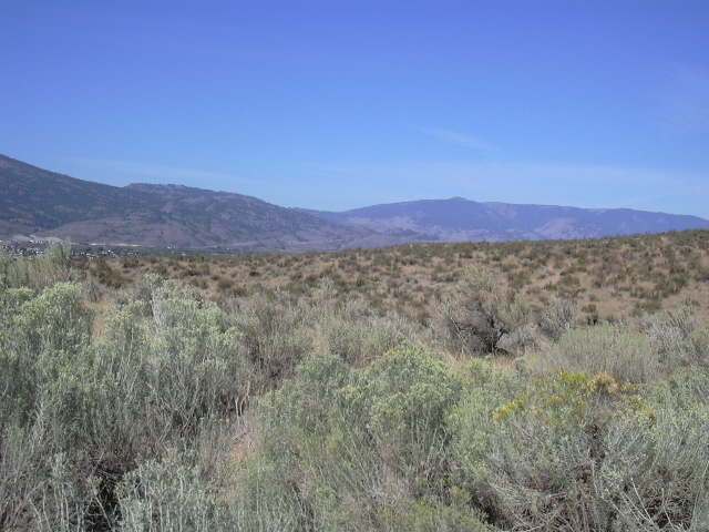
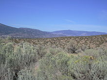 The so-called Nk'mip Desert, on the east side of Osoyoos, is actually shrub steppe and not desert.
The Okanagan Desert is the common name (though technically incorrect) for an arid area located in the South Okanagan region of British Columbia, Canada, primarily around Osoyoos Lake. The area, which is technically shrub steppe, has been defined as the Osoyoos Arid Biotic Zone. Summer temperatures in the area of Osoyoos Lake regularly exceed 38˚C (100 °F), and portions of the area receive roughly 250 to 300 mm (10 to 12 inches) of rain per year.
While some areas in British Columbia experience hotter summer temperatures and are at least as arid, the South Okanagan area is home to several species of plants that are not found elsewhere in Canada.[1] It is the presence of these specific plants that make the area distinct from other desert-like areas in British Columbia. It is not actually a desert, but is more properly called a shrub-steppe within the Antelope-brush ecosystem, of which some has been converted to irrigated vineyard.
The Osoyoos Indian Band runs the Nk'mip Desert Cultural Centre as part of its resort and winery complex, which is located on the east side of Osoyoos, while the Okanagan Desert Society maintains a similar facility on the west side of Osoyoos, at the junction of Highways 3 and 97.
Contents
Media
The region was the subject of a 1999 National Film Board of Canada documentary Pocket Desert - Confessions of a Snake Killer.[2][3]
See also
References
- ^ Dyer, Orville. 2002. List of Species at Risk: South Okanagan-Similkameen Conservation Program Study Area updated to May, 2002. Ministry of Water, Land and Air Protection, Penticton, British Columbia.
- ^ "Pocket Desert - Confessions of a Snake Killer" (Requires Adobe Flash). NFB.ca. National Film Board of Canada. http://www.nfb.ca/film/Pocket_Desert_Confessions_of_a_Snake_Killer.
- ^ Hamilton, Donald (January 19, 2001). "Pocket Desert: Confessions of a Snake Killer". Canadian Materials (Manitoba Library Association) VII (10). http://www.umanitoba.ca/cm/vol7/no10/pocketdesert.html. Retrieved 21 April 2011.
External links
Categories:- Okanagan Country
Wikimedia Foundation. 2010.