- Neubrandenburg (Bezirk)
-
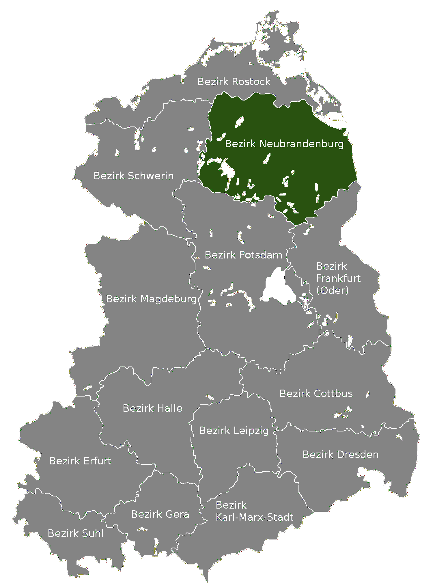
Bezirk Neubrandenburg — District — Location of Bezirk Neubrandenburg within the German Democratic Republic
Coordinates: 53°30′N 13°30′E / 53.5°N 13.5°ECoordinates: 53°30′N 13°30′E / 53.5°N 13.5°E Country German Democratic Republic Subdivisions 14 Kreise and 1 Stadtkreis Formed 1952 Dissolved 1990 Seat Neubrandenburg Area - Total 10,948 km2 (4,227 sq mi) Population (1989)[1] - Total 620,500 - Density 56.7/km2 (146.8/sq mi) Vehicle registration C The Bezirk Neubrandenburg was a district (Bezirk) of East Germany. The administrative seat and the main town was Neubrandenburg.
Contents
History
The district was established, with the other 13, on July 25, 1952, substituting the old German states. After October 3, 1990, it was disestablished due to the German reunification, becoming again part of the state of Mecklenburg-Vorpommern.
Geography
Position
The Bezirk Neubrandenburg bordered with the Bezirke of Rostock, Schwerin, Potsdam and Frankfurt (Oder). It bordered also with Poland and a little part of it was located by the Stettin Bay, a lagoon separated from the Baltic Sea.
Subdivision
The Bezirk was divided into 15 kreise: 1 urban district (Stadtkreis) and 14 rural districts (Landkreise):
- Urban districts : Neubrandenburg.
- Rural districts : Altentreptow; Anklam; Demmin; Malchin; Neubrandenburg-Land; Neustrelitz; Pasewalk; Prenzlau; Röbel/Müritz; Strasburg; Templin; Teterow; Ueckermünde; Waren.
References
- ^ "40 Jahre DDR", National central administration for statistics, May 1989
External links
 Media related to Bezirk Neubrandenburg at Wikimedia Commons
Former Bezirke in East Germany  East Berlin (independent) · Cottbus · Dresden · Erfurt · Frankfurt (Oder) · Gera · Halle · Karl-Marx-Stadt · Leipzig · Magdeburg · Neubrandenburg · Potsdam · Rostock · Schwerin · Suhl
 Categories:
- Districts of East Germany
- History of Mecklenburg-Vorpommern
- 1952 establishments
- 1990 disestablishments
Wikimedia Foundation. 2010.