- Natchez–Vidalia Bridge
-
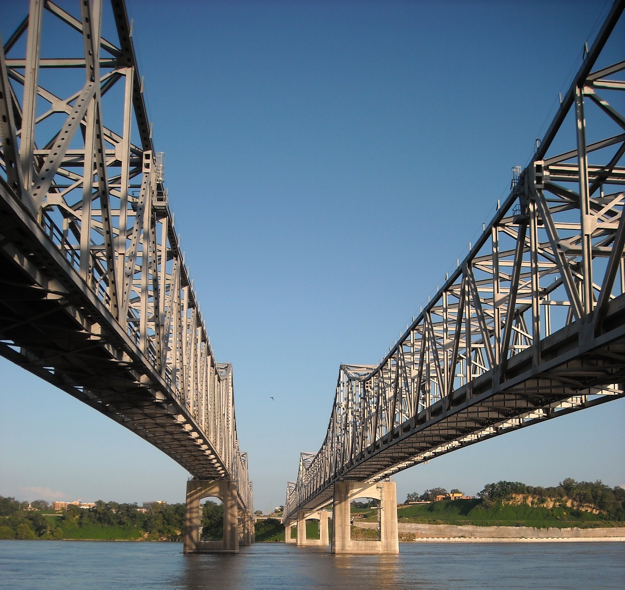
Natchez-Vidalia Bridge 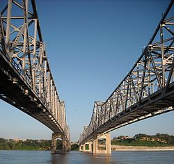
Carries 4 lanes of US 84/US 425 Crosses Mississippi River Locale Vidalia, Louisiana and Natchez, Mississippi ID number 21000840010001A (westbound)
21000840010001B (eastbound)Design Twin Cantilever bridges Total length 4,205 feet (1,282 m) (westbound)
4,202 feet (1,281 m) (eastbound)Width 24 feet (7 m) (westbound)
42 feet (13 m) (eastbound)Longest span 3 848 feet (258 m) spans per bridge Clearance below 125 feet (38 m) Opened October 1940 (westbound)
July 1988 (eastbound)Daily traffic 24,000 (2007) Coordinates 31°33′33″N 91°25′09″W / 31.55917°N 91.41917°W The Natchez–Vidalia Bridge are two twin cantilever bridges carrying US Routes 65, 84 and 425 across the Mississippi River between Vidalia, Louisiana and Natchez, Mississippi. It is the tallest bridge in Mississippi (although the Benjamin G. Humphreys Bridge connecting Mississippi with Arkansas is taller by 5 feet, its main spans are located entirely within Arkansas).
See also
Crossings of the Mississippi River Upstream
Vicksburg Bridge


Natchez-Vidalia Bridge


Downstream
Angola Ferry
LA 3190Categories:- Natchez micropolitan area
- Bridges over the Mississippi River
- Bridges completed in 1940
- Bridges completed in 1988
- Cantilever bridges
- Road bridges in Louisiana
- Road bridges in Mississippi
- United States bridge (structure) stubs
- Louisiana building and structure stubs
- Southern United States building and structure stubs
- Mississippi stubs
Wikimedia Foundation. 2010.