- Louisiana Highway 1064
-
Louisiana Highway 1064
Route information Maintained by Louisiana DOTD Length: 13.4 mi (21.57 km) Existed: 1955 renumbering – present Major junctions West end:  LA 43
LA 43 US 51
US 51
 LA 1065
 LA 443 (concurrency)
South end:  US 190
Highway system ←  LA 1063
LA 1065 →Louisiana Highway 1064 (LA 1064) is a state highway in Louisiana. Measuring 13.4 miles (21.6 km), it forms a partial loop around north and east Hammond.
LA 1064 is a two-lane road for its entire distance, except for turn lanes at certain intersections.
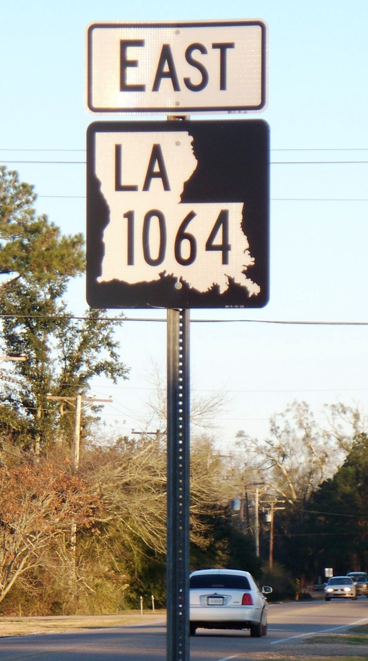
Although as of 2010 some of the previous green-and-white signs remain, LA 1064 was one of the first highways to sport Louisiana's new black-and-white state highway shields.
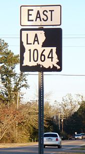 LA 1064 in Natalbany, Louisiana.
Route description
From the west, LA 1064 begins approximately 4.5 miles (7.2 km) north of Albany from a T-intersection in Livingston Parish. LA 1064 proceeds due east into Tangipahoa Parish, cosigned as Natalbany Road until joining LA 443 (Morris Road). The Natalbany Road segment crosses but does interchange with Interstate 55 prior to intersecting with U.S. 51 in Natalbany.
After the intersection with U.S. 51, LA 1064 crosses the Ponchatoula Creek, serves as the north endpoint for Hammond's North Oak Street, shares a grade-level crossing with the Canadian National Railway, intersects LA 1065 (Hammond's North Cherry Street), and absorbs Whiskey Lane from the north before merging with LA 443 (Morris Road) to swing in a generally northeasterly direction. After a couple of bends LA 1064 leaves LA 443 and ventures east and then south, ending at a T-intersection on U.S. 190 near Hammond High School. The section from LA 443 to U.S. 190 is also known as River Road.
Besides providing an alternative for traffic which would otherwise need to go through downtown Hammond, LA 1064 is the sole egress for Hammond High and also nearby Hammond Eastside Elementary School.
In November of each year many thousands of tourists travel part of LA 1064 as it is the way to the Louisiana Renaissance Festival.
References
Categories:- Transportation in Livingston Parish, Louisiana
- State highways in Louisiana
- Transportation in Tangipahoa Parish, Louisiana

Wikimedia Foundation. 2010.