- Natalbany, Louisiana
-
Natalbany CDP Country United States State Louisiana Parish Tangipahoa Elevation 49 ft (14.9 m) Coordinates 30°32′52″N 90°29′02″W / 30.54778°N 90.48389°W Area 4.5 sq mi (11.7 km2) - land 4.4 sq mi (11 km2) - water 0.1 sq mi (0 km2), 2.22% Population 1,739 (2000) Density 393.1 / sq mi (151.8 / km2) Timezone CST (UTC-6) - summer (DST) CDT (UTC-5) Area code 985 
 Location of Natalbany in Louisiana
 Location of Louisiana in the United States
Natalbany is a census-designated place (CDP) in Tangipahoa Parish, Louisiana, United States. The population was 1,739 at the 2000 census. It is part of the Hammond Micropolitan Statistical Area.
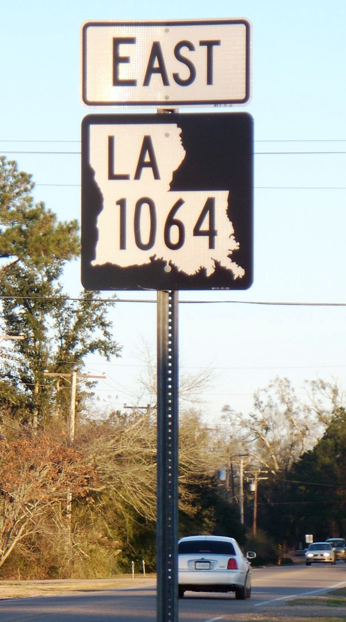
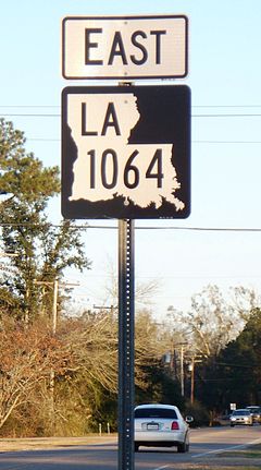 In 2009, Natalbany was among the first communities in Louisiana to get Louisiana's new black-and-white state highway shields. Shown here: LA 1064 from Natalbany center, looking east.
Geography
Natalbany is located at 30°32′52″N 90°29′2″W / 30.54778°N 90.48389°W (30.547856, -90.483765)[1].
According to the United States Census Bureau, the CDP has a total area of 4.5 square miles (12 km2), of which, 4.4 square miles (11 km2) of it is land and 0.1 square miles (0.26 km2) of it (1.56%) is water (including Ponchatoula Creek).
Demographics
At the 2000 census[2], there were 1,739 people, 714 households and 411 families residing in the CDP. The population density was 393.1 per square mile (151.9/km²). There were 814 housing units at an average density of 184.0 per square mile (71.1/km²). The racial makeup of the CDP was 67.74% White, 29.67% African American, 0.52% Native American, 0.23% Asian, 1.15% from other races, and 0.69% from two or more races. Hispanic or Latino of any race were 2.24% of the population.
There were 714 households of which 31.8% had children under the age of 18 living with them, 38.0% were married couples living together, 16.7% had a female householder with no husband present, and 42.4% were non-families. 27.7% of all households were made up of individuals and 6.6% had someone living alone who was 65 years of age or older. The average household size was 2.44 and the average family size was 3.06.
Age distribution was 26.0% under the age of 18, 22.1% from 18 to 24, 27.1% from 25 to 44, 15.5% from 45 to 64, and 9.4% who were 65 years of age or older. The median age was 26 years. For every 100 females there were 82.9 males. For every 100 females age 18 and over, there were 83.3 males.
The median household income was $25,108, and the median family income was $29,120. Males had a median income of $25,938 versus $15,799 for females. The per capita income for the CDP was $12,815. About 17.4% of families and 25.0% of the population were below the poverty line, including 33.0% of those under age 18 and 27.3% of those age 65 or over.
References
- ^ "US Gazetteer files: 2010, 2000, and 1990". United States Census Bureau. 2011-02-12. http://www.census.gov/geo/www/gazetteer/gazette.html. Retrieved 2011-04-23.
- ^ "American FactFinder". United States Census Bureau. http://factfinder.census.gov. Retrieved 2008-01-31.
Municipalities and communities of Tangipahoa Parish, Louisiana Cities 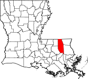
Towns Villages CDP Natalbany
Unincorporated
communitiesBaptist | Loranger | Manchac | Robert
Categories:- Census-designated places in Louisiana
- Populated places in Tangipahoa Parish, Louisiana


Wikimedia Foundation. 2010.