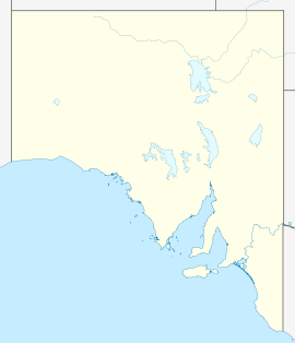
- Bowmans, South Australia
-
Bowmans
South Australia
View of Nantawarra's silos from Highway 1, facing east, within the Bowmans localityPopulation: 203 (2006 Census)[1] Postcode: 5550 Location: 125 km (78 mi) north of Adelaide LGA: Wakefield Regional Council State District: Frome Federal Division: Grey Localities around Bowmans: Ninnes Lochiel Bowmans Balaklava Port Wakefield Bowmans (34°09′S 138°15′E / 34.15°S 138.25°E; postcode: 5550) is a locality in South Australia's Mid North. At the 2006 census, Bowmans had a population of 203.[1]
Nantawarra (34°00′S 138°13′E / 34°S 138.217°E; postcode: 5550) is a town in the postal area of Bowmans. The township is located just east of Highway 1, approximately 125km north of Adelaide. Nantawarra is recognisable from a distance for its imposing grain silos which, like the township, are strategically located just east of the Adelaide – Port Augusta railway line. The name Nantawarra may derive from the word nantuwara (meaning a northern yerta, or family group) in Kaurna, the language of the indigenous people of the region.
References
- ^ a b Australian Bureau of Statistics (25 October 2007). "Bowmans (State Suburb)". 2006 Census QuickStats. http://www.censusdata.abs.gov.au/ABSNavigation/prenav/LocationSearch?collection=Census&period=2006&areacode=SSC43206&producttype=QuickStats&breadcrumb=PL&action=401. Retrieved 27 July 2011.
External links
Categories:- Towns in South Australia
- South Australia geography stubs
Wikimedia Foundation. 2010.

