- Nakasongola Airport
-
Nakasongola Airport IATA: n/a – ICAO: n/a Location of Nakasongola Airport in Uganda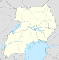
 Nakasongola
Placement on map is approximateSummary Airport type Military Owner Uganda People's Defence Force Operator UPDF Serves Nakasongola, Uganda Location Nakasongola,  Uganda
Elevation AMSL 3,600 ft / 1,100 m Coordinates 01°25′12″N 32°28′12″E / 1.42°N 32.47°E Runways Direction Length Surface ft m 02L/20R 9,800 3,000 Asphalt 02R/20L 9,800 3,000 Asphalt Nakasongola Airport (IATA: n/a, ICAO: n/a) is an airport in Uganda. It is one of the forty-six (46) airports in the country.[1]
Contents
Location
Nakasongola Airport is located in the neighborhood known as Wabisi, approximately 16 kilometres (9.9 mi), north of the town of Nakasongola, Nakasongola District, Central Uganda. It is located on the campus of Nakasongola Air Force Base, approximately 141 kilometres (88 mi), by air, directly north of Entebbe International Airport, the country’s largest civilian and military airport.[2] The geographic coordinates of this airport are 1°25′12″N 32°28′12″E / 1.42°N 32.47°ECoordinates: 1°25′12″N 32°28′12″E / 1.42°N 32.47°E.
Overview
Nakasongola Airport is a medium-sized military airport that serves the town of Nakasongola. It is the largest stand-alone military airport in Uganda. Nakasongola Airport is situated approximately 1,100 metres (3,600 ft) above sea level. The airport has two pararel asphalt runways, each measuring approximately 3,000 metres (9,800 ft) in length.
External links
See also
References
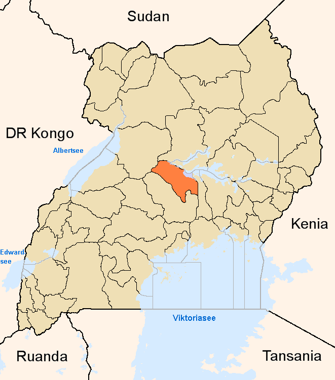
 Nakasongola DistrictCapital: Nakasongola
Counties and
sub-countiesKyabujingo County (Kakooge Sub-county · Kalongo Sub-county · Kalungi Sub-county) · Buluuli County (Nakasongola Town Council · Lwampanga Sub-county · Wabinyonyi Sub-county) · Budyebo County (Nakitoma Sub-county · Nabiswera Sub-county · Lwabiyata Sub-county)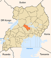
Towns and villages Economy FINCA Uganda Limited · PostBank UgandaNotable landmarks Ziwa Rhino Sanctuary · Nakasongola Air Force Base · Nakasongola AirportEducation Uganda Air Force Academy · Uganda Air Defence and Artillery SchoolNotable people Categories:- Airports in Uganda
- Nakasongola District
- Uganda People's Defence Force

Wikimedia Foundation. 2010.