- Mumbwa District
-
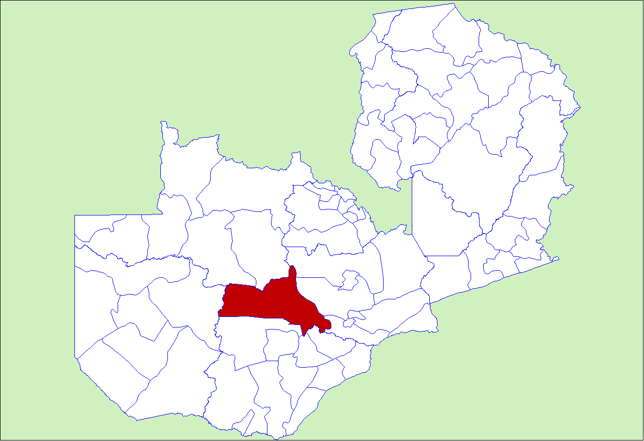
Mumbwa District — District — District location in Zambia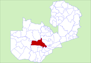
Country  Zambia
Province Central Province Capital Mumbwa Population (2000) - Total 158,861 Time zone CAT (UTC+2) Mumbwa District is a district of Zambia, located in Central Province. The capital lies at Mumbwa. As of the 2000 Zambian Census, the district had a population of 158,861 people.[1]
References
- ^ "Districts of Zambia". Statoids. http://www.statoids.com/yzm.html. Retrieved February 11, 2010.
 Districts of Zambia
Central Chibombo District · Kabwe District · Kapiri Mposhi District · Mkushi District · Mumbwa District · Serenje DistrictCopperbelt Chililabombwe District · Chingola District · Kalulushi District · Kitwe District · Luanshya District · Lufwanyama District · Masaiti District · Mpongwe District · Mufulira District · Ndola DistrictEastern Chadiza District · Chama District · Chipata District · Katete District · Lundazi District · Mambwe District · Nyimba District · Petauke DistrictLuapula Chiengi District · Kawambwa District · Mansa District · Milenge District · Mwense District · Nchelenge District · Samfya DistrictLusaka Northern Chilubi District · Chinsali District · Isoka District · Kaputa District · Kasama District · Luwingu District · Mafinga District · Mbala District · Mpika District · Mporokoso District · Mpulungu District · Mungwi District · Nakonde DistrictNorthwestern Chavuma District · Kabompo District · Kasempa District · Mufumbwe District · Mwinilunga District · Solwezi District · Zambezi DistrictSouthern Choma District · Gwembe District · Itezhi-Tezhi District · Kalomo District · Kazungula District · Livingstone · Mazabuka District · Monze District · Namwala District · Siavonga District · Sinazongwe DistrictWestern Kalabo District · Kaoma District · Lukulu District · Mongu District · Senanga District · Sesheke District · Shangombo DistrictCategories:- Districts of Zambia
- Zambia geography stubs
Wikimedia Foundation. 2010.