- Chama District
-
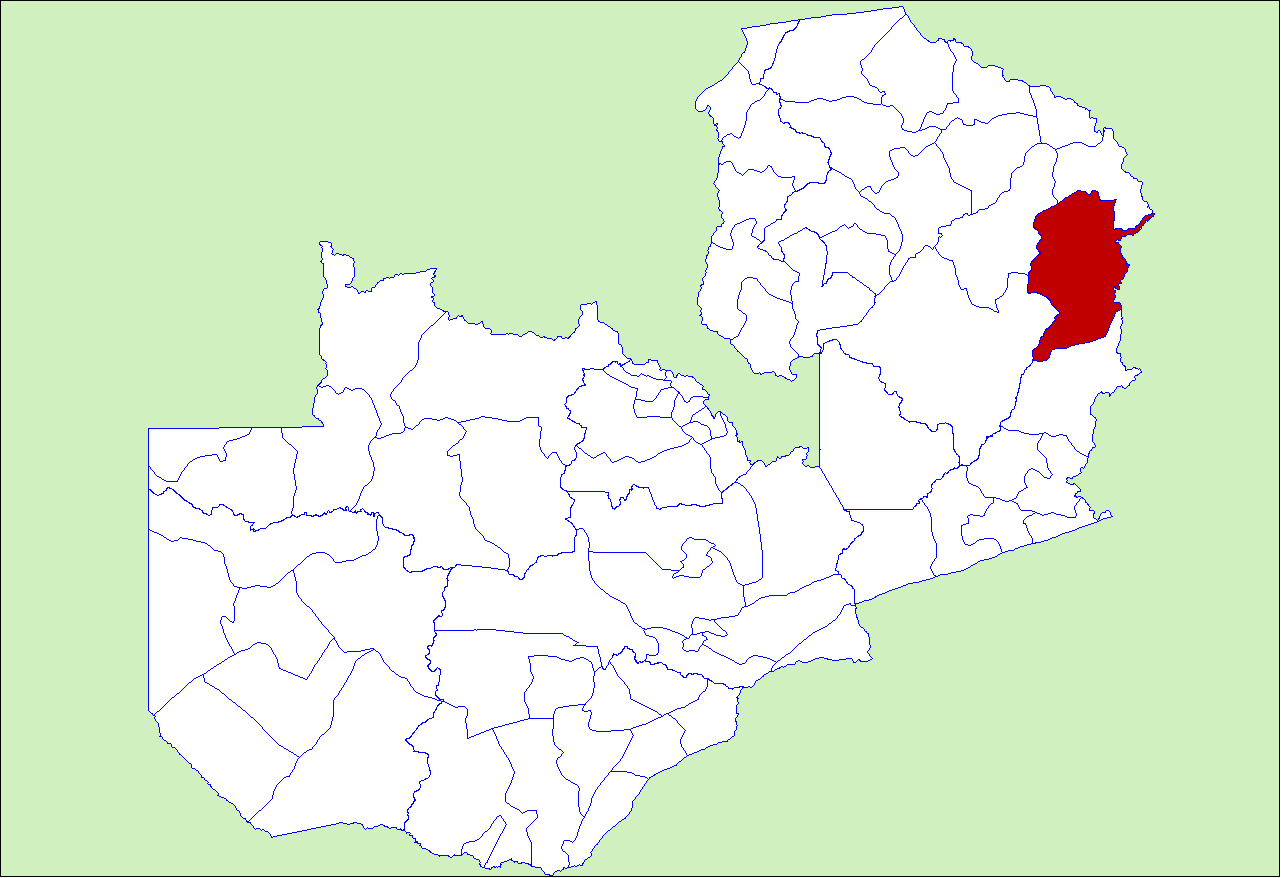
Chama District — District — District location in Zambia
Country  Zambia
Province Eastern Province Capital Chama Population (2000) - Total 74,890 Time zone CAT (UTC+2) Chama District with the headquarters at Chama is the most northerly, largest and least-populated district of the Eastern Province in Zambia and includes a large wilderness in the Upper Luangwa valley just north-east of the North Luangwa National Park. Much of the population of Chama District lives close to the Malawi border and shares tribal and cultural links with the people of the northern highlands of that country. The people of Chama belong mostly to the Senga tribe. Members of the Tumbuka tribe also live in Chama. Chisenga, a language similar to ChiTumbuka and Chichewa or Nyanja, is the predominant language spoken.
Agriculture is the leading industry, and maize is the most common crop. Chama is also known as a rice-growing area. Cotton is a lucrative crop for some. Sorghum and soyabeans are also grown. Other common foodcrops include groundnuts, sweet potatoes, pumpkin, cabbage, sunflowers.
As of the 2000 Zambian Census, the district had a population of 74,890 people.[1]
References
- ^ "Districts of Zambia". Statoids. http://www.statoids.com/yzm.html. Retrieved February 12, 2010.
Coordinates: 11°15′S 32°50′E / 11.25°S 32.833°E
 Districts of Zambia
Central Chibombo District · Kabwe District · Kapiri Mposhi District · Mkushi District · Mumbwa District · Serenje DistrictCopperbelt Chililabombwe District · Chingola District · Kalulushi District · Kitwe District · Luanshya District · Lufwanyama District · Masaiti District · Mpongwe District · Mufulira District · Ndola DistrictEastern Chadiza District · Chama District · Chipata District · Katete District · Lundazi District · Mambwe District · Nyimba District · Petauke DistrictLuapula Chiengi District · Kawambwa District · Mansa District · Milenge District · Mwense District · Nchelenge District · Samfya DistrictLusaka Northern Chilubi District · Chinsali District · Isoka District · Kaputa District · Kasama District · Luwingu District · Mafinga District · Mbala District · Mpika District · Mporokoso District · Mpulungu District · Mungwi District · Nakonde DistrictNorthwestern Chavuma District · Kabompo District · Kasempa District · Mufumbwe District · Mwinilunga District · Solwezi District · Zambezi DistrictSouthern Choma District · Gwembe District · Itezhi-Tezhi District · Kalomo District · Kazungula District · Livingstone · Mazabuka District · Monze District · Namwala District · Siavonga District · Sinazongwe DistrictWestern Kalabo District · Kaoma District · Lukulu District · Mongu District · Senanga District · Sesheke District · Shangombo DistrictCategories:- Districts of Zambia
- Zambia geography stubs
Wikimedia Foundation. 2010.