- Mountain Parkway Byway
-
Mountain Parkway Byway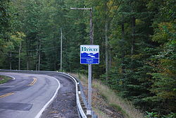
Route information Length: 10.2 mi (16.4 km) Major junctions From: Cleveland To: Hacker Valley Location Counties: Webster Highway system The Mountain Parkway Byway is a state-designated scenic byway in northern Webster County, West Virginia. Following West Virginia Route 20 for 10.2 miles (16.4 km) the route traverses the headwaters of several mountain streams including the Right Fork Little Kanawha River, Jerry Run, and the Left and Laurel Forks of Holly River.[1][2] A related route, the Mountain Parkway Backway, explores backroads in the same area.
Contents
Route description
Heading southbound on WV 20, the Byway begins after crossing the Right Fork Little Kanawha River into Webster County. A visitor kiosk is located just south of the county line. From there, visitors can follow WV 20 southbound to see the following sites in sequential order:
Cleveland
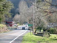 Cleveland, West Virginia
The northernmost village in Webster County, Cleveland was settled in 1844 by Robert McCray Sr. Previously named as Buffalo Fork and Point, it was renamed in honor of President Grover Cleveland in 1885. A post office operated here from 1853–1865 and 1883-1995.[3]
Jerry Run Summer Theater
Located along West Virginia Route 20 is the Jerry Run Summer Theater. A large wooden structure containing a stage, snack bar and other amenities, it has seating for 150 people. Live Bluegrass, country, folk and gospel bands appear weekly on Friday or Saturday evenings from May through early October. The theater is owned by area residents Dusty and Renee Anderson.[4]
Sharon
At Jerry Run is the site of the Sharon post office that served the Jerry Run community from 1890 to 1900. Dr. William W. Hutchinson served two terms as postmaster. Patrick W. Bruffey, another early resident, was postmaster a short while, after having served as superintendent of Webster County Schools.[citation needed]
Old Sulphur Spring
Located at Jerry Run is the Old Sulphur Spring. During the late 19th and early 20th centuries, the spring provided water for the travelers and the nearby Jerry Run one-room school. It is a favorite gathering site for locals in the community.[3]
Located near the spring are a shelter, picnic table, and stone fireplace. Work is being done to upgrade the Old Sulphur Spring area for use as a rest stop along the Mountain Parkway Byway.[citation needed]
Hacker Valley
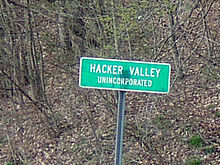 Hacker Valley sign
The village of Hacker Valley was named in honor of John Hacker. Hacker reportedly took possession of a tract of land nearby by "tomahawk mark" around 1772.[5]
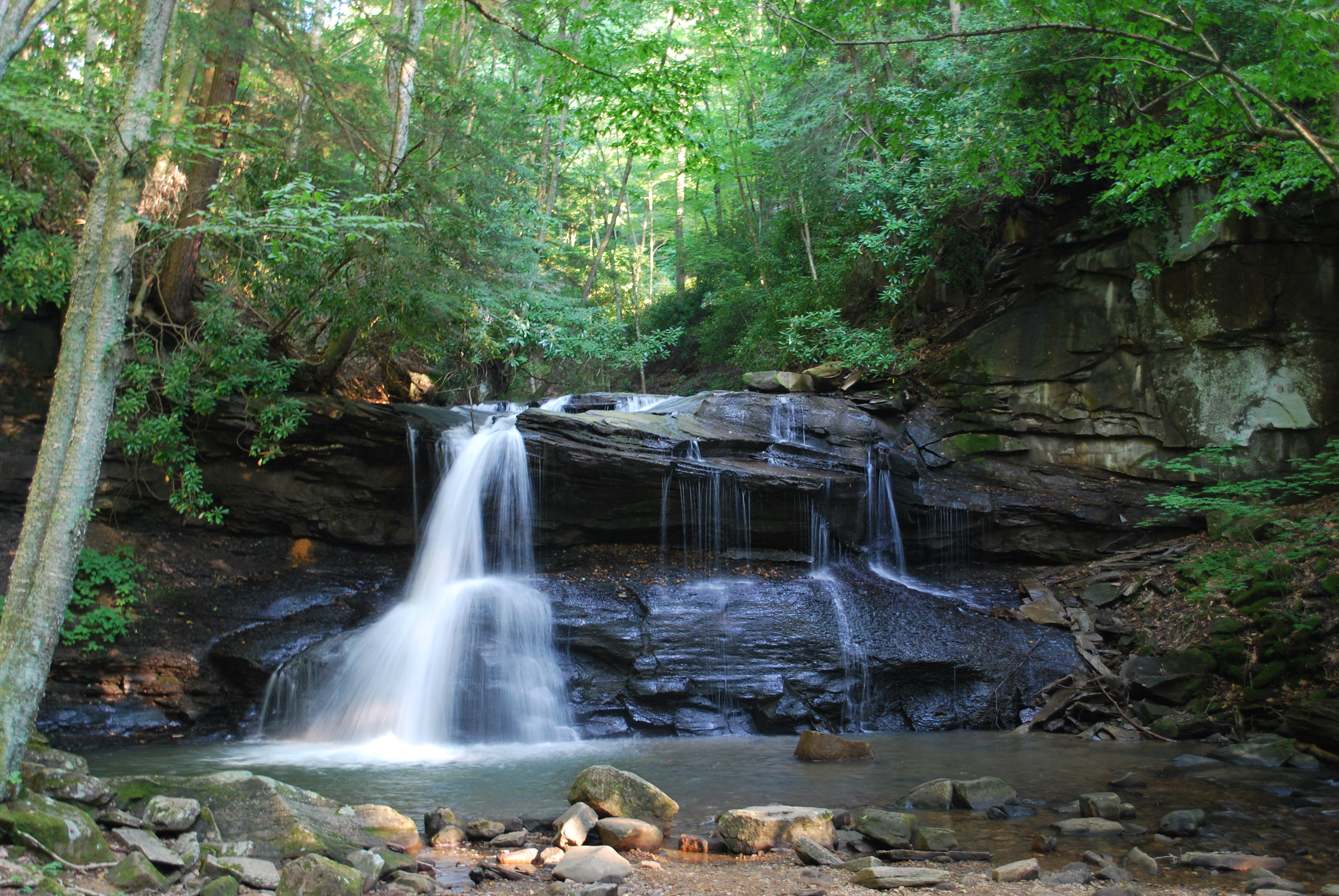
Holly River State Park
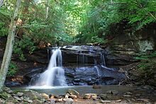 Upper Falls at Holly River State Park
Situated along Laurel Fork Holly River is Holly River State Park, the second-largest state park in West Virginia at 8,294 acres (34 km2).[6] The park is known for its mountainous setting and contains several waterfalls. Other recreational activities such as camping, picnicking, and swimming are also possible in the park.
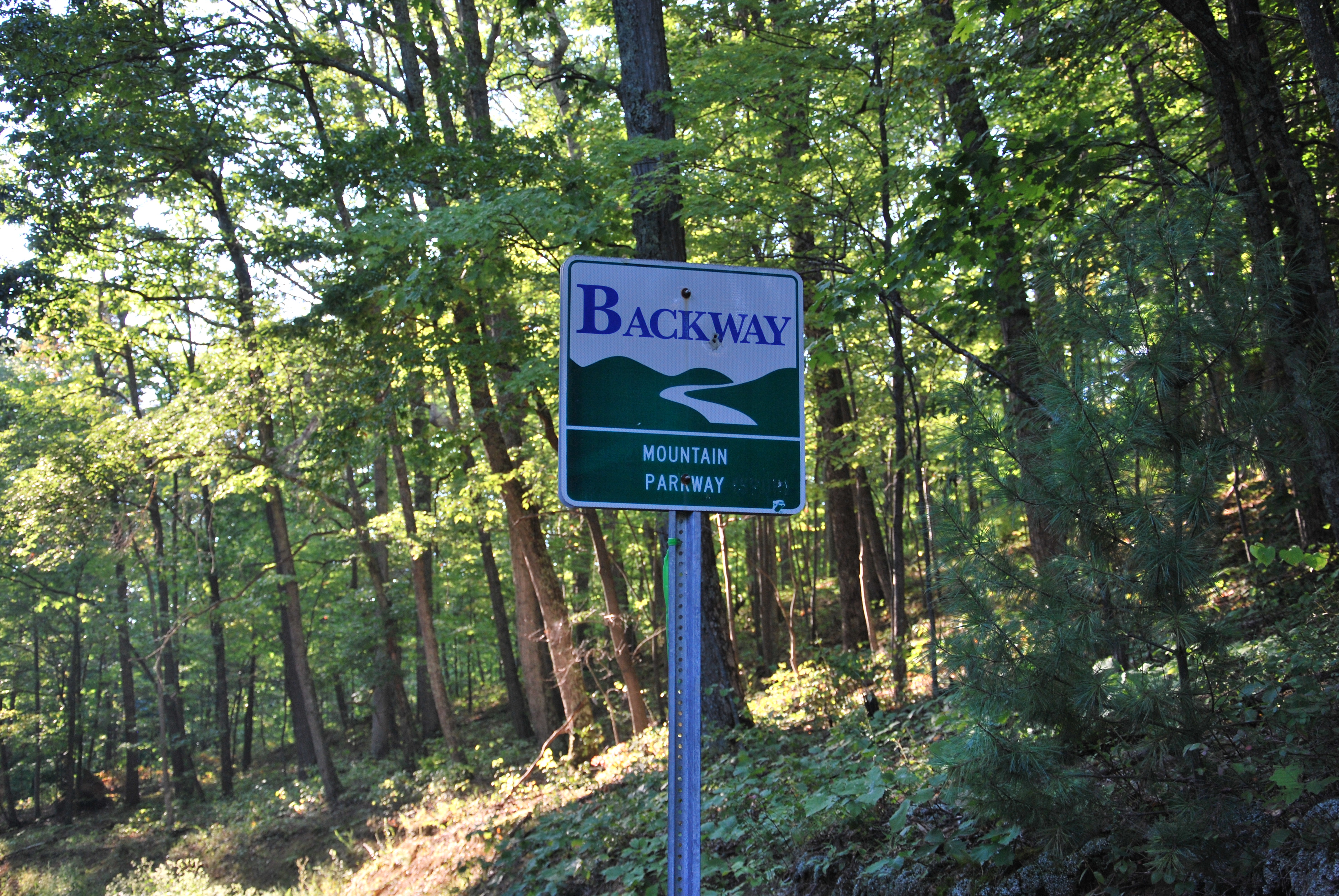
Mountain Parkway Backway
 Mountain Parkway Backway sign
The Mountain Parkway Backway follows lesser traveled routes in the area while paralleling stretches of the Right Fork Little Kanawha River and Left Fork Holly River. From along WV 20 near Cleveland, visitors can follow County Routes 1 (Boggs Mills Road), 6 (Westbrook Lane) and 3 (Replete Road) in a 14.6-mile (23.5 km) circuit that ends back at WV 20 south of Holly River State Park.[7][8] Travelers should be aware that many of the Backway roads are gravel.[9]
Several additional spurs leading from the Backway mainline also provide access to notable areas sites:[8]
- County Route 4 (Williams Camp Run Road) begins at its intersection with County Route 1. It leads to the Johnson Home.
- County Route 8 (Poling Road) branches off CR 3 and takes travelers to the Mollohan Mill.
- County Route 3/8 (Cowger Hill Road) travels west from CR 3 to Long Run Farm.
- County Route 20/2 (Mount Zion Road) serves as a connector between CR 3 and WV 20.
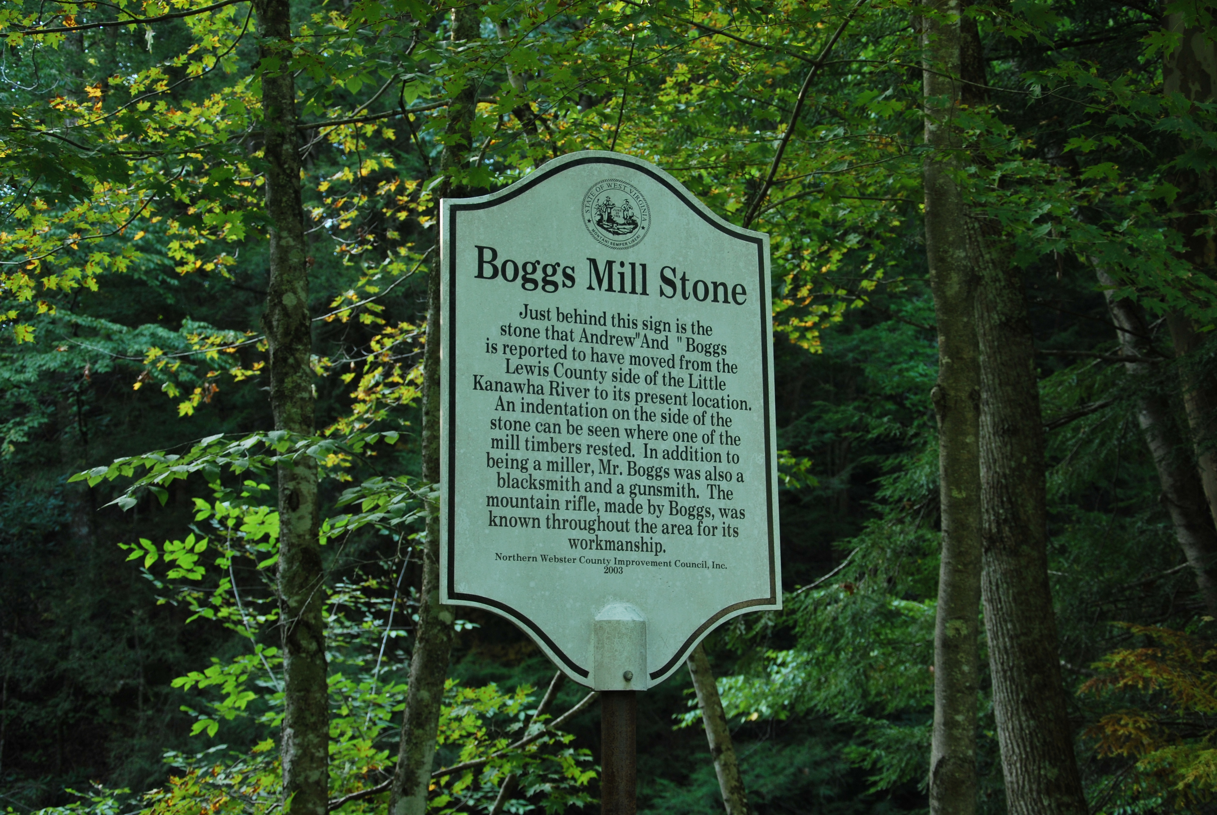
Boggs Mill Stone
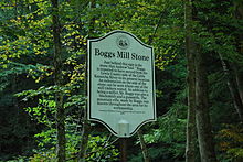 Boggs Mill Stone historical marker
Along Webster County Route 1, a large rock remains that Andrew Boggs reportedly moved from across Right Fork Little Kanawha River to his mill site in the late 19th century.[10]
Boggs was a gunsmith and is also remembered throughout the area for his extraordinary physical strength.[10] Boggs was the first to be buried on top of a hill east of the millstone. The cemetery is known as the Boggs Cemetery. The story is told that during the Civil War, Andy, who was sympathetic with the Confederacy, hid from the Yankees on that hilltop. He is said to have remarked, "It is so high and rugged that if one could escape the Yankees, surely it would provide a good place to hide from the devil."[10]
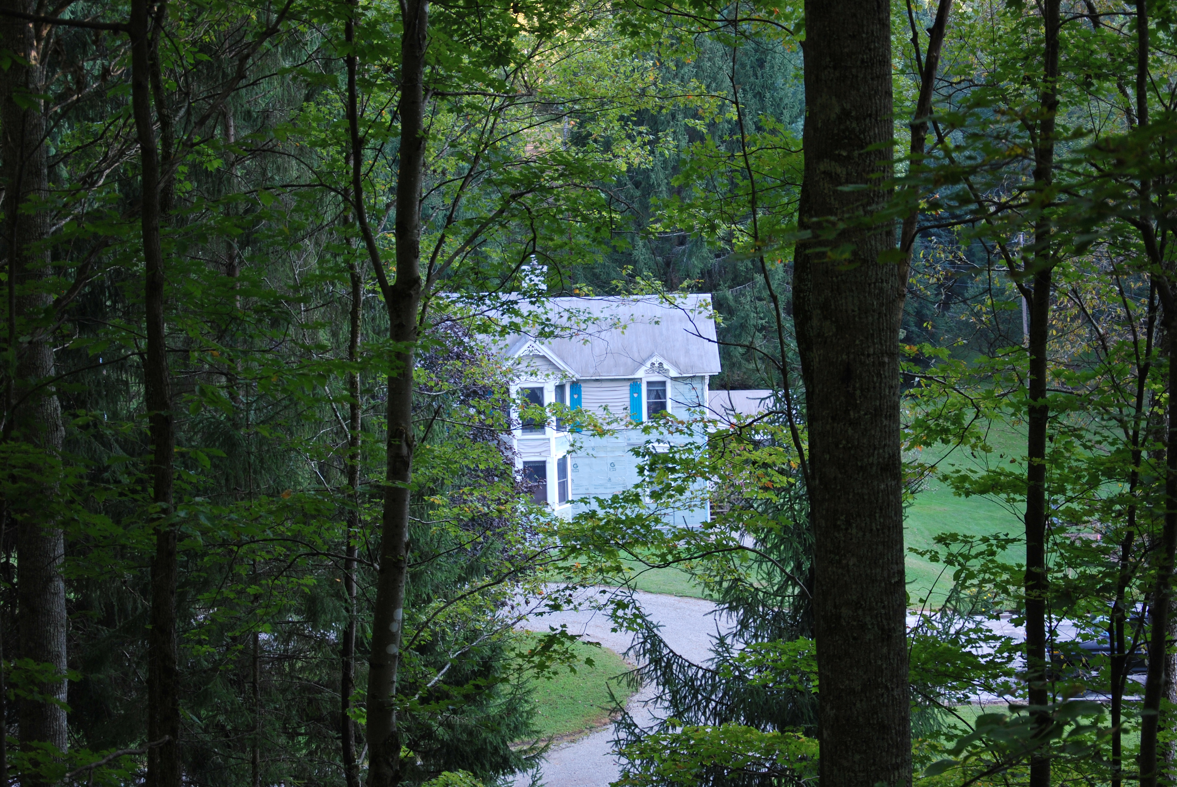
Johnson Home
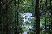 John National Johnson Home
The Johnson home, constructed in 1887 by John Nathaniel "Squire" Johnson, is a well-preserved example of 19th century architecture. Johnson was a carpenter and built some of the one-room schools of the area. As of 2003, the home continued to be owned by the Johnson family.[11]
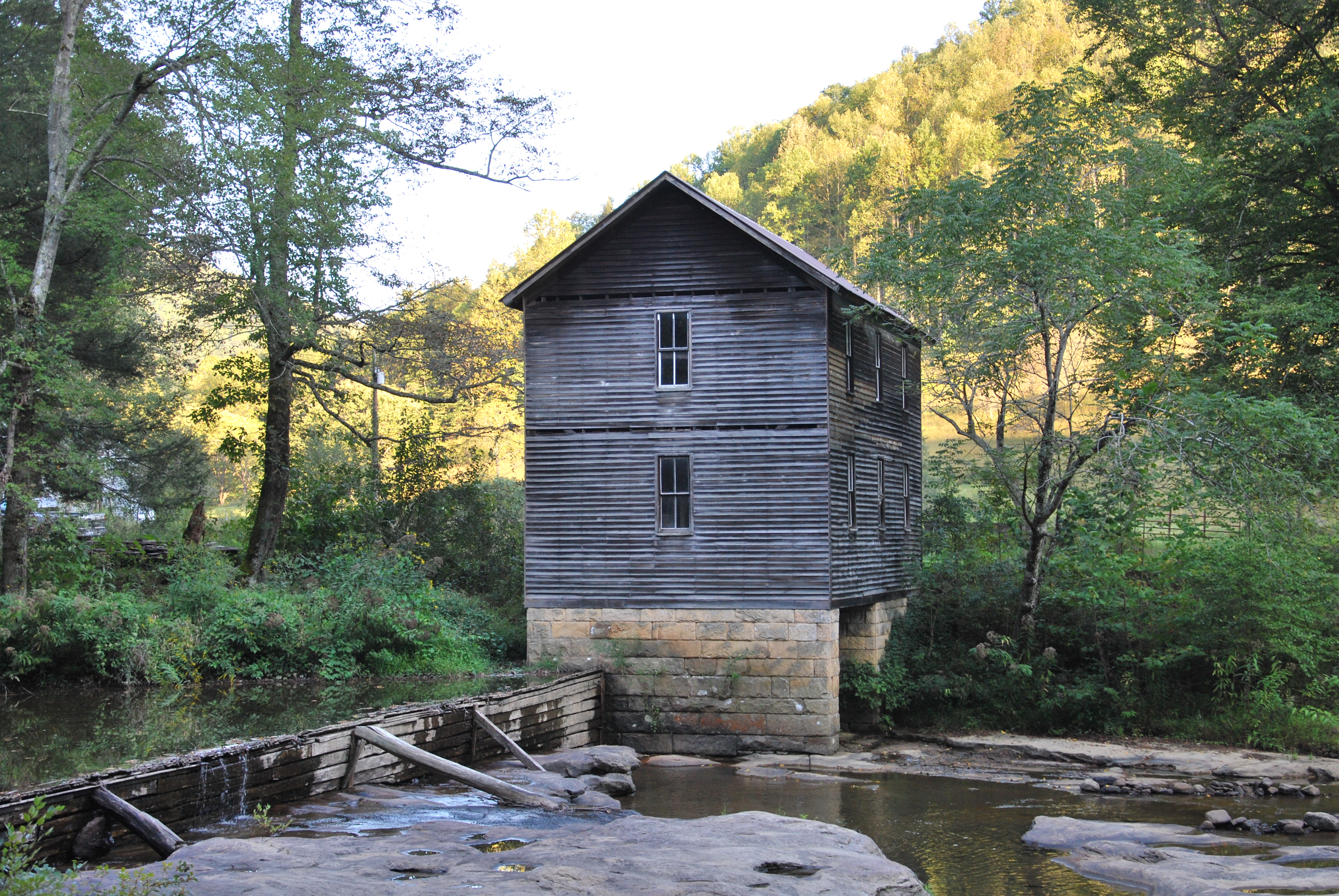
Mollohan Mill
 Mollohan Mill
Bernard Mollohan constructed this mill on the Left Fork Holly River in 1894.[12] Operated until damaged by a flood in 1951, the mill was said to be one of the most prosperous area enterprises.[13]
The mill continues to be owned by the same family today through his great-granddaughter, Beth Mollohan. It is unusual in that the water wheel is horizontal to the water rather than vertical. The mill is was listed on the National Register of Historic Places on September 2, 1982, the first such listing in Webster County.[14]
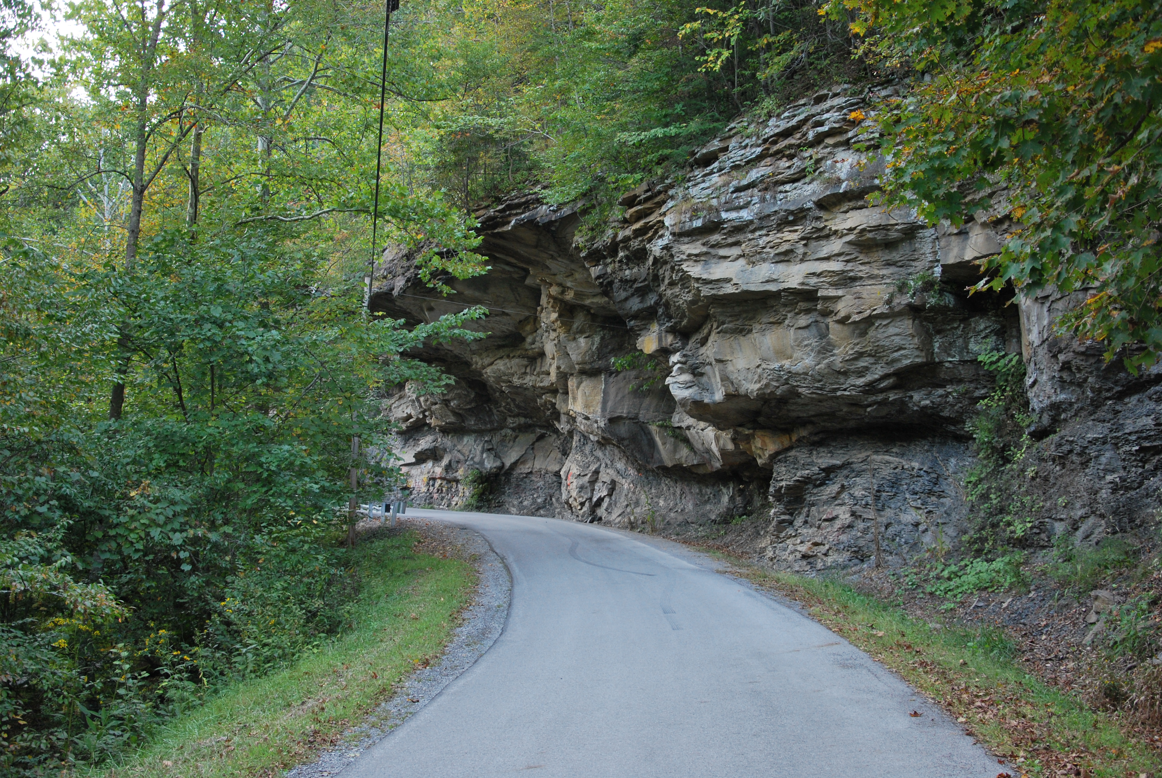
Hanging Rock
 Hanging Rock
Just east of Poling is a large rock formation referred to locally as "Hanging Rock." The cliff extends out over and along Replete Road for several hundred feet. Formed of sandstone, the rock was deposited around 313 million years ago and undercut by water erosion from the adjacent Left Fork Holly River.[15]
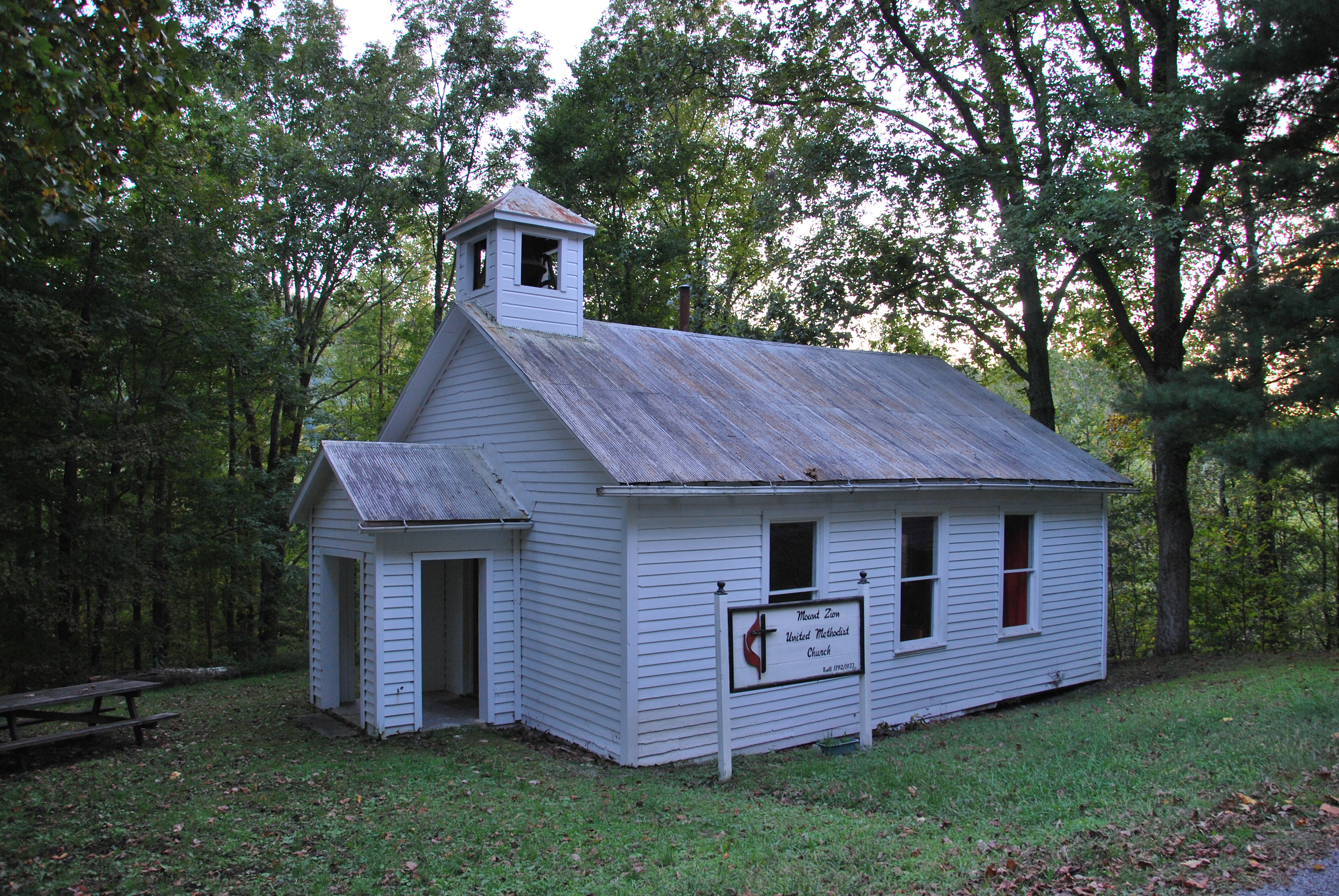
Mount Zion Church
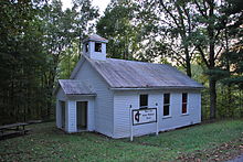 Mount Zion Church
Location at the intersection of Replete and Mount Zion Roads, Mount Zion Church sits on a small bluff several hundred feet above Left Fork Holly River. The church was first erected in 1892 but subsequently destroyed by a 1932 windstorm. Material salvaged from the original building was used to build the current structure in 1933.[16]
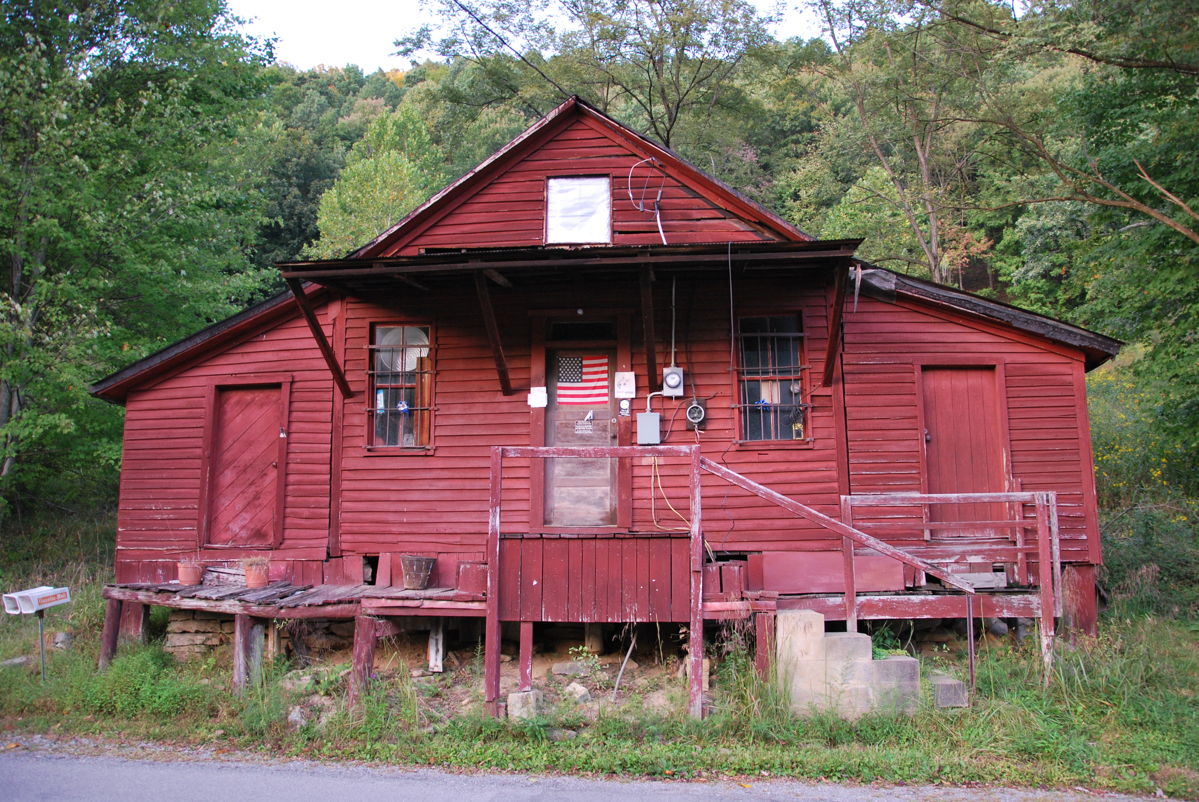
Lowther Store
 Lowther Store
The store, now known as Lowther Store, was established in 1900 by John A. Hinkle. It is the oldest continuously operating store in Webster County and was listed on the National Register of Historic Places on April 7, 1997.[14][17] A post office operated at the store from 1903 until at least 1952.[18]
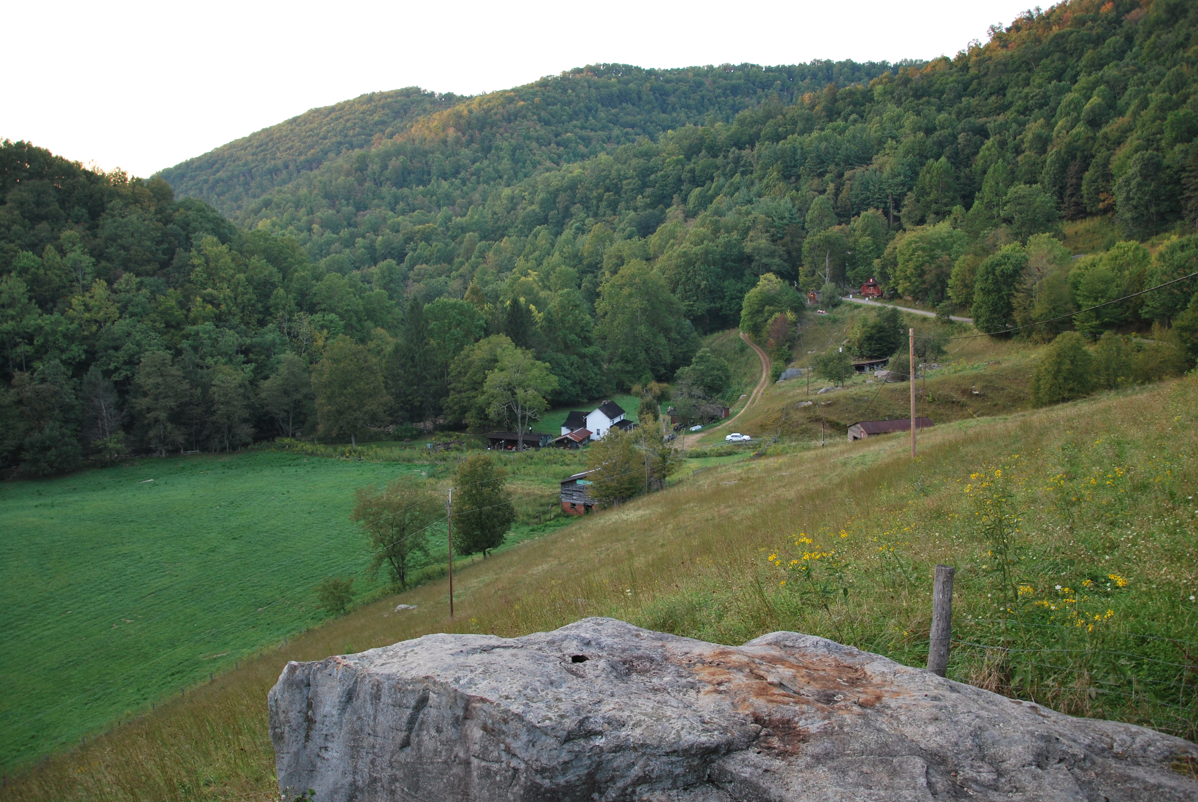
Wheeler Overlook
 Wheeler Overlook
The Wheeler Overlook provides a panoramic view of the village of Wheeler. In the early 20th century, Wheeler was the hub of the area containing a store, post office, gristmill, jewelry repair, and photograph shop.
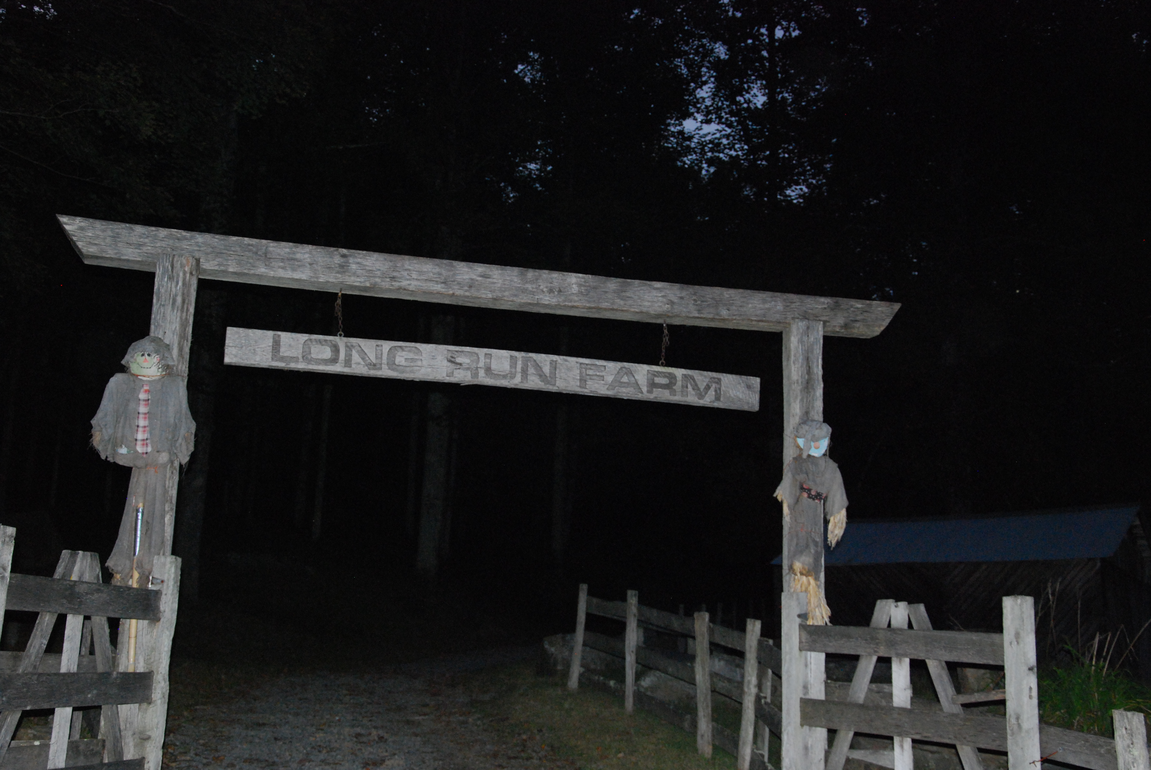
Long Run Farm
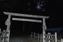 Long Run Farm
Located at the base of Cowger Hill, the Long Run Farm apple orchard serves as the western end of an unsigned Backway Spur along County Route 3/8 (Cowger Hill Road).
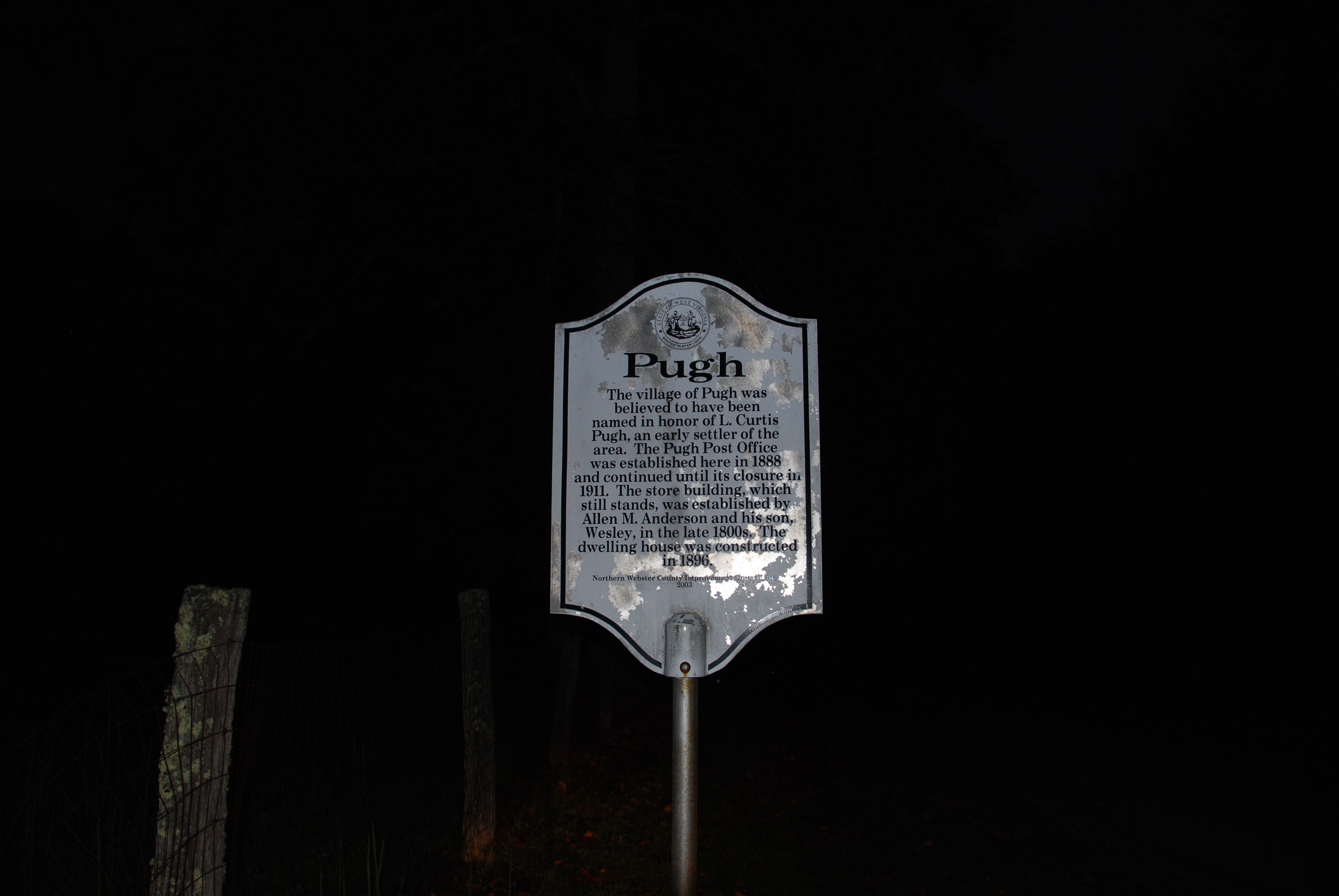
Pugh
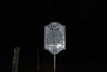 Pugh historical marker
This is the site of the former Pugh post office (1888–1911) and the Wesley Anderson Store and Grist Mill. Anderson's home and store building are still standing.[19]
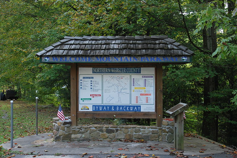
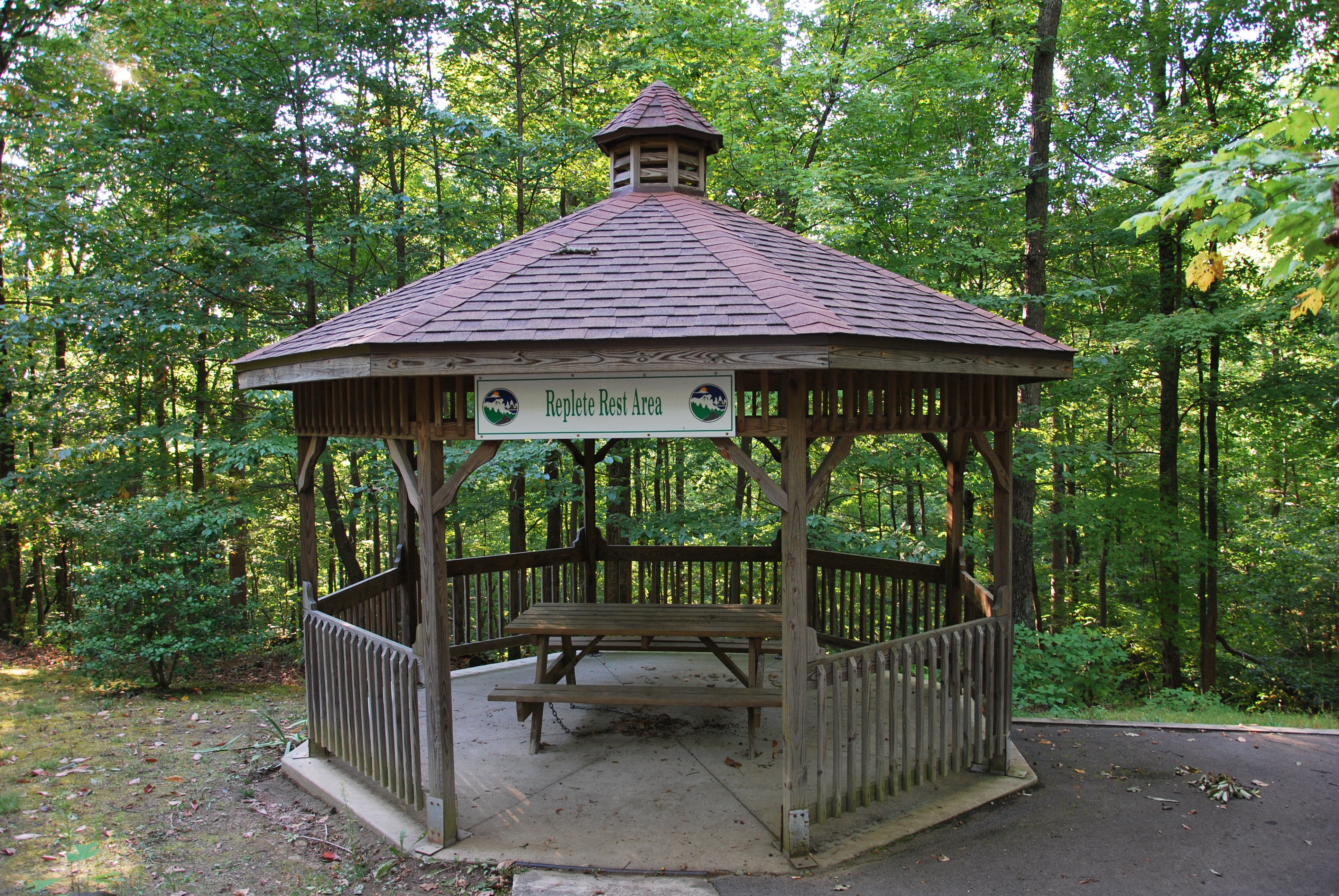
Visitor kiosks
Three information kiosks have been built along the Mountain Parkway Byway and Backway to guide travelers:
Name Route Location Services 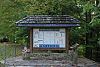
Cleveland Byway WV 20 north of Cleveland Map Hacker Valley Byway Intersection of WV 20 and CR 20/18 Map 
Replete Backway Intersection of CR 3 and CR 6 Map and picnic table Major intersections
The entire route is in Webster County.
Location Mile Destinations Notes Hacker Valley 0  WV 20 south
Southern terminus of the Mountain Parkway Byway  CR 3 north (Mountain Parkway Backway)
Southern terminus of the Mountain Parkway Backway  CR 20-1
Cleveland  CR 1 south (Mountain Parkway Backway)
Northern terminus of the Mountain Parkway Backway WV 20 northNorthern terminus of the Mountain Parkway Byway 1.000 mi = 1.609 km; 1.000 km = 0.621 mi See also
References
- ^ Google, Inc. Google Maps – Mountain Parkway Byway (Map). Cartography by Google, Inc. http://maps.google.com/maps?f=d&source=s_d&saddr=cleveland,+wv&daddr=38.631639,-80.39222&hl=en&geocode=FYftTgIdjk81-ymvbBz3hrlLiDGUGhICG6oTug%3B&mra=dme&mrcr=0&mrsp=1&sz=17&sll=38.630198,-80.394162&sspn=0.006194,0.009645&ie=UTF8&t=h&z=17. Retrieved February 2, 2010.
- ^ U.S. Geological Survey (1967). Hacker Valley, West Virginia quadrangle (Map). 1:24,000. 7.5-Minute Series (Topographic).
- ^ a b Staff. "Webster County". West Virginia Highway Markers Database. West Virginia Division of Culture and History. http://www.wvculture.org/History/wvmemory/hmresults.aspx?County=Webster&Title=&Words=&Op=AND. Retrieved September 18, 2010.
- ^ Staff. "Jerry Run Summer Theater". http://members.citynet.net/jerryrun/. Retrieved January 24, 2010.
- ^ Virgil, Lucullus; McWhorter, William Elsey; Connelley, John. (2010) [1915]. The border settlers of northwestern Virginia from 1768 to 1795: embracing .... Cornell, NY: Cornell University Library. pp. 82–84. ISBN 978-1112589553. http://books.google.com/books?id=0T4VAAAAYAAJ&pg=PA84&dq=%22John+Hacker%22+tomahawk&cd=4#v=onepage&q=%22John%20Hacker%22%20tomahawk&f=false.
- ^ Staff (March 29, 2008). "Facilities Grid" (PDF). West Virginia State Parks. http://www.wvstateparks.com/recreation/WVSP_facilities_grid.PDF. Retrieved February 5, 2010.
- ^ Google, Inc. Google Maps – Mountain Parkway Backway Mainline (Map). Cartography by Google, Inc. http://maps.google.com/maps?f=d&source=s_d&saddr=W+Virginia+20+N&daddr=38.703999,-80.466442+to:W+Virginia+20+S&hl=en&geocode=FZjVTgIdBho1-w%3B%3BFQW6TQIdKVg1-w&mra=dpe&mrcr=0&mrsp=1&sz=13&via=1&sll=38.706008,-80.43314&sspn=0.098727,0.105915&ie=UTF8&ll=38.720943,-80.406017&spn=0.049621,0.052958&z=14. Retrieved January 23, 2010.
- ^ a b West Virginia Department of Commerce. Mountain Parkway Backway and Byway Map (Map). http://wvcommerce.org/App_Media/assets/images/tourism/wvbyways/littlekanawha/mt_parkway_bkway.gif. Retrieved January 24, 2010.
- ^ West Virginia Department of Transportation (2008). General Highway Map: Webster County, West Virginia (Map). http://www.transportation.wv.gov/highways/programplanning/gti/Pages/WVCountyMaps.aspx.
- ^ a b c Feather, Carl E. (1998). Mountain people in a flat land: a popular history of Appalacian migration to. Ohio University Press. p. 55. http://books.google.com/books?id=p-2V0UlKhV0C&pg=PA55&dq=%22Boggs+Mill+Stone%22&cd=2#v=onepage&q=Boggs&f=false. Retrieved February 5, 2010.
- ^ Johnson Home (Historical marker). Wheeler, WV: Northern Webster Council Improvement Council. 2003. http://commons.wikimedia.org/wiki/File:John_Nathaniel_Johnson_Home_-_Historical_Marker.jpg. Retrieved September 12, 2010.
- ^ Pauley, Michael J.; Richardson, Neil (July 1, 1982). "National Register of Historic Places Nomination: Mollohan Mill" (PDF). Charleston, WV: West Virginia Department of Culture and History. http://www.wvculture.org/shpo/nr/pdf/webster/82004331.pdf. Retrieved January 24, 2010.
- ^ Mollohan Mill (Historical marker). Wheeler, WV: Northern Webster Council Improvement Council. http://commons.wikimedia.org/wiki/File:Mollohan_Mill_-_Historical_Marker.jpg. Retrieved September 12, 2010.
- ^ a b "National Register Information System". National Register of Historic Places. National Park Service. April 24, 2008. http://nrhp.focus.nps.gov/natreg/docs/All_Data.html.
- ^ Hanging Rock (Historical marker). Wheeler, WV: Northern Webster Council Improvement Council. 2003. http://commons.wikimedia.org/wiki/File:Hanging_Rock_-_Historical_Marker.jpg. Retrieved September 12, 2010.
- ^ Mount Zion Church (Historical marker). Wheeler, WV: Northern Webster Council Improvement Council. 2003. http://commons.wikimedia.org/wiki/File:Mount_Zion_Church_-_Historical_Marker.jpg. Retrieved September 12, 2010.
- ^ Lowther, Linda (November 14, 1996). "National Register of Historic Places Nomination: Lowther Store" (PDF). Hacker Valley, WV. http://www.wvculture.org/shpo/nr/pdf/webster/97000264.pdf. Retrieved January 24, 2010.
- ^ Wheeler (Historical marker). Wheeler, WV: Northern Webster Council Improvement Council. http://commons.wikimedia.org/wiki/File:Wheeler,_WV_-_Historical_Marker.jpg. Retrieved September 12, 2010.
- ^ Pugh (Historical marker). Wheeler, WV: Northern Webster Council Improvement Council. 2003. http://commons.wikimedia.org/wiki/File:Pugh,_WV_-_Historical_Marker.jpg. Retrieved September 12, 2010.
External links
Categories:- Transportation in Webster County, West Virginia
- Roads in West Virginia
- Visitor attractions in Webster County, West Virginia


Wikimedia Foundation. 2010.