- Bombalai Hill
-
Bombalai Sabah, Borneo,
 Bombalai
 Malaysia
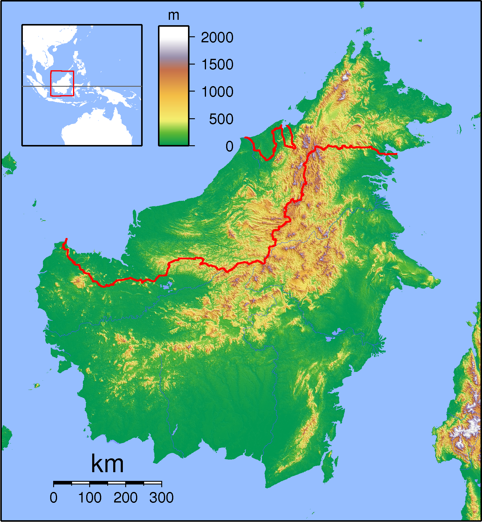
Elevation 531 m (1,742 ft) [1] Location Coordinates 4°24′N 117°53′E / 4.4°N 117.883°ECoordinates: 4°24′N 117°53′E / 4.4°N 117.883°E[1] Geology Type Pyroclastic cone Age of rock 67 Million years old Last eruption Holocene Mount Bombalai is part of a volcanic field on the Semporna peninsula in northeastern Borneo. The volcano lies in Tawau Division, Sabah, Malaysia across Cowie Harbour from the Indonesian province of East Kalimantan, and is the only volcano in the country.[citation needed] The low volcanic cone is located north of Sebatik Island and has a roughly 300-m-wide crater breached to the south. Two young lava flows extend almost to the coastal plain. The flows were considered younger than a lava flow radiocarbon dated at about 27,000 years before present, and the extrusion of basaltic lavas possibly continued into Holocene time. This marks the only known area of possible Holocene volcanism on Borneo.[1] It is also known to be Malaysia's highest volcanic point.[citation needed]
See also
References
- ^ a b c "Bombalai". Global Volcanism Program, Smithsonian Institution. http://www.volcano.si.edu/world/volcano.cfm?vnum=0610-01-. Retrieved 2009-05-09.
Categories:- Tawau
- Pyroclastic cones
- Volcanoes of Malaysia
- Sabah geography stubs
Wikimedia Foundation. 2010.