- Alam-Kuh
-
Alam Kooh 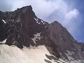
Elevation 4,850 m (15,912 ft) Prominence 1,827 m (5,994 ft) Listing Ultra Location Mazandaran, Iran
 Alam Kooh
Range Alborz Coordinates 36°22′N 50°57′E / 36.367°N 50.95°ECoordinates: 36°22′N 50°57′E / 36.367°N 50.95°E ʿAlam-Kūh (Persian: علم کوه; also: Alam Kooh) - Mount Alam - is a mountain in the Alborz mountain range in the north of Iran, between Tehran and the Caspian sea, forming a peak of the Takht-e Suleyman Massif. At 4,850 m high, it is the second highest peak in Iran, only to Mount Damavand at 5,671 m. The 800 m high steep granite north face provides some of the most difficult and interesting mountaineering routes in the country and the climbs rank alongside major climbing routes in the European Alps. In addition to local climbers, the north face attracts European climbing teams, the first known ascent being by a German party Gorter/Steinauer in 1936 up the north west ridge. Subsequently French and Polish teams established other routes on the north face during the 1960’s and 1970, these being multi-day routes of high Alpine standard and a British team followed in 1978.
Most of the fixed ropes were damaged severely during a major earthquake and consequent rockfall in 2003. The mountain was closed to the climbers for some months because the hazard of rockfall and loose cables.
The mountain range supports permanent snow and glaciers and although the southern slopes of the range tend to be dry and barren the northern valleys leading to the Caspian Sea (which offer the best approaches to the mountains) are wet and lush with vegetation.
Location
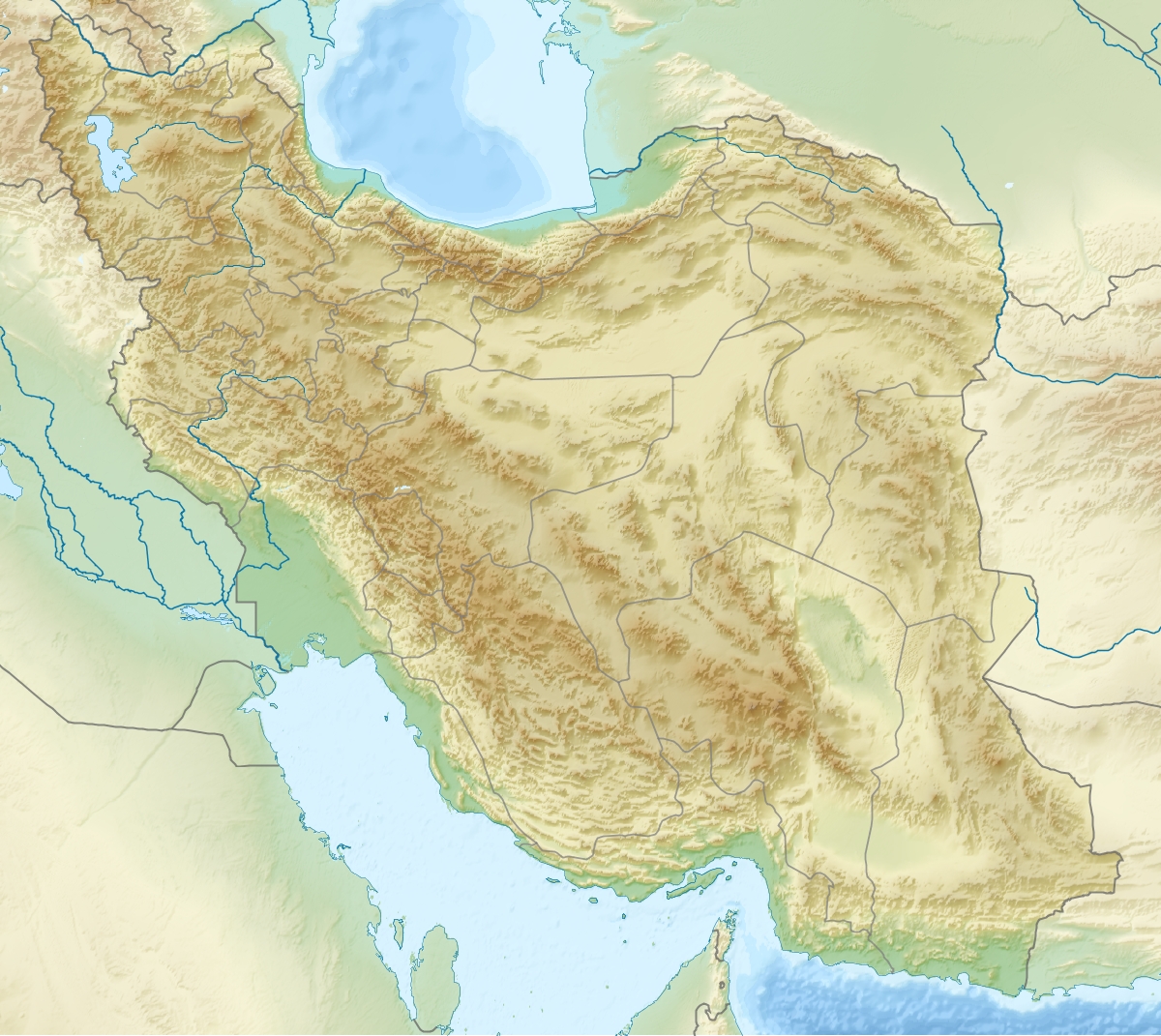
Map of central Alborz Peaks: 1 `Alam Kūh 
 -25 to 500 m500 to 1500 m1500 to 2500 m2500 to 3500 m3500 to 4500 m4500 to 5671 m
2 Āzād Kūh 3 Damāvand 4 Do Berar 5 Do Khaharan 6 Ghal`eh Gardan 7 Gorg 8 Kholeno 9 Mehr Chal 10 Mīšīneh Marg 11 Naz 12 Shah Alborz 13 Sīālān 14 Tochal 15 Varavašt Rivers: 0 1 Alamūt 2 Chālūs 3 Do Hezār 4 Harāz 5 Jājrūd 6 Karaj 7 Kojūr 8 Lār 9 Nūr 10 Sardāb 11 Seh Hazār 12 Shāh Rūd Cities: 1 Āmol 2 Chālūs 3 Karaj Other: D Dīzīn E Emāmzādeh Hāšem K Kandovān Tunnel * Latīān Dam ** Lār Dam External links
Categories:- Mountains of Iran
- Mazandaran geography stubs


Wikimedia Foundation. 2010.