- Morishita Station (Tokyo)
-
Morishita Station森下駅

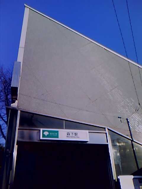
A5 entrance to Morishita Station Location Prefecture Tokyo
(See other stations in Tokyo)Ward Kōtō Neighborhood etc. Morishita 1-13-10 (Shinjuku Line)
Morishita 2-17-17 (Ōedo Line)(in Japanese) 東京都江東区森下1-13-10 (Shinjuku Line)
東京都江東区森下2-17-17 (Ōedo Line)History Year opened 1978 Rail services Station number(s) S-11 (Shinjuku Line)
E-13 (Ōedo Line)Operator(s) Tokyo Metropolitan Bureau of Transportation (Toei) Line(s) Toei Shinjuku Line
Toei Ōedo LineStatistics 121,571 passengers/day [1][2] Morishita Station (森下駅 Morishita-eki) is a railway station in Kōtō, Tokyo, Japan. Its station numbers are S-11 (Shinjuku Line) and E-13 (Ōedo Line). The station opened on December 21, 1978; service on the Ōedo Line began on December 12, 2000.
Contents
Lines
Platforms
Morishita Station consists of two island platforms (one for each line), each served by two tracks.
1 ○Toei Shinjuku Line for Bakuro-yokoyama, Shinjuku, Sasazuka, Hashimoto 2 ○Toei Shinjuku Line for Motoyawata 3 ○Toei Ōedo Line for Ryogoku, Iidabashi 4 ○Toei Ōedo Line for Daimon, Roppongi Surrounding area
The station is located underneath the intersection of Tokyo Metropolitan Routes 50 (Shin-Ōhashi-dōri) and 463 (Kiyosumi-dōri). The area is typically shitamachi, with a mix of mid-rise office buildings, apartment buildings, and homes. Being close to Ryōgoku, many sumōbeya are located in the vicinity.
Connecting bus service
Toei Bus: Morishita-Ekimae
- Mon 33: for Kameido Station
- Kyūkō 06: for National Museum of Emerging Science and Innovation
- Kin 11: for Kinshichō Station, Shinozaki Station
Adjacent stations
« Service » Toei Shinjuku Line Hamachō Local Kikukawa Bakuro-yokoyama Express Ōjima Toei Ōedo Line Ryōgoku Local Kiyosumi-Shirakawa References
- ^ "Morishita Station information" (in Japanese). Tokyo Metropolitan Bureau of Transportation. http://www.kotsu.metro.tokyo.jp/subway/stations/morishita/s11.html. Retrieved February 2010.
- ^ "Morishita Station information" (in Japanese). Tokyo Metropolitan Bureau of Transportation. http://www.kotsu.metro.tokyo.jp/subway/stations/morishita/e13.html. Retrieved February 2010.
External links
- Tokyo Metropolitan Bureau of Transportation: Morishita Station (Shinjuku Line) (Japanese)
- Tokyo Metropolitan Bureau of Transportation: Morishita Station (Ōedo Line) (Japanese)
Stations of the Toei Shinjuku Line (through to Sasazuka, Hashimoto -) Shinjuku - Shinjuku-sanchōme - Akebonobashi - Ichigaya - Kudanshita - Jimbōchō - Ogawamachi - Iwamotochō - Bakuro-yokoyama - Hamachō - Morishita - Kikukawa - Sumiyoshi - Nishi-ōjima - Ōjima - Higashi-ōjima - Funabori - Ichinoe - Mizue - Shinozaki - Motoyawata
Stations of the Toei Ōedo Line Tochōmae - Shinjuku-nishiguchi - Higashi-Shinjuku - Wakamatsu-kawada - Ushigome-yanagichō - Ushigome-kagurazaka - Iidabashi - Kasuga - Hongō-sanchōme - Ueno-okachimachi - Shin-Okachimachi - Kuramae - Ryōgoku - Morishita - Kiyosumi-shirakawa - Monzen-Nakachō - Tsukishima - Kachidoki - Tsukijishijō - Shiodome - Daimon - Akabanebashi - Azabu-jūban - Roppongi - Aoyama-itchōme - Kokuritsu-kyōgijō - Yoyogi - Shinjuku - Tochōmae - Nishi-Shinjuku-gochōme - Nakano-sakaue - Higashi-nakano - Nakai - Ochiai-minami-nagasaki - Shin-egota - Nerima - Toshimaen - Nerima-kasugachō - Hikarigaoka
Coordinates: 35°41′17″N 139°47′54″E / 35.688007°N 139.798235°ECategories:- Railway stations in Tokyo
- Railway stations opened in 1978
- Stations of Tokyo Metropolitan Bureau of Transportation
Wikimedia Foundation. 2010.