- Montes Universales
-
Montes Universales 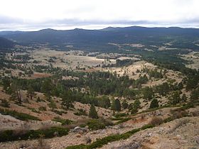
View of the Montes Universales near Guadalaviar townElevation 1,935 m (6,348 ft) Listing List of mountains in Aragon Location Sierra de Albarracín Comarca,
 Montes Universales
 Aragon
Range Iberian System, Southern zone Coordinates 40°22′30″N 1°44′23″W / 40.375°N 1.73972°WCoordinates: 40°22′30″N 1°44′23″W / 40.375°N 1.73972°W Geology Type Karstic (Mesozoic) Climbing Easiest route From the towns of Guadalaviar or Villar del Cobo 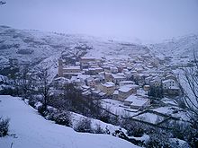 Villar del Cobo village under the Montes Universales during a winter snowstorm

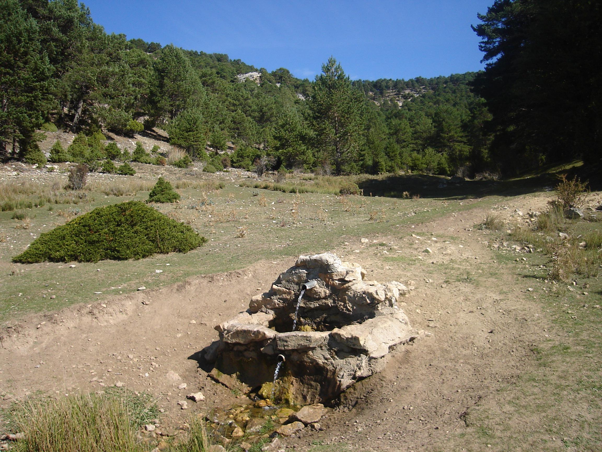
Montes Universales is a 32 km (20 mi) long mountain range in the southwestern end of the Iberian System. Its highest point is the 1,935 m high summit known as Caimodorro. The 1,830 m high Muela de San Juan is another important peak.
Administratively the Montes Universales belong to the Sierra de Albarracín comarca of Aragon, therefore there are often confused with the geographical Sierra de Albarracín mountain range.[1]
The range is aligned in a NW - SE direction and is not as high as neighboring mountain ranges. It is, however, very significant from the hydrographic point of view for important rivers of the Iberian Peninsula have their source in these mountains, which divide the Atlantic from the Mediterranean watershed. Among the Iberian rivers that originate in the Montes Universales the most important are Tagus on the western slopes, and the Túria, Cabriel and Xúquer on the eastern.
The Montes Universales limit on the northeast with the paleozoic massifs of Caimodorro and Loma Alta, in the southeast with the Serranía de Cuenca and with the Sierra de Jabalón and the Túria Valley in the east.
Erebia zapateri is an endemic butterfly of these mountains.[2]
Contents
Vegetation
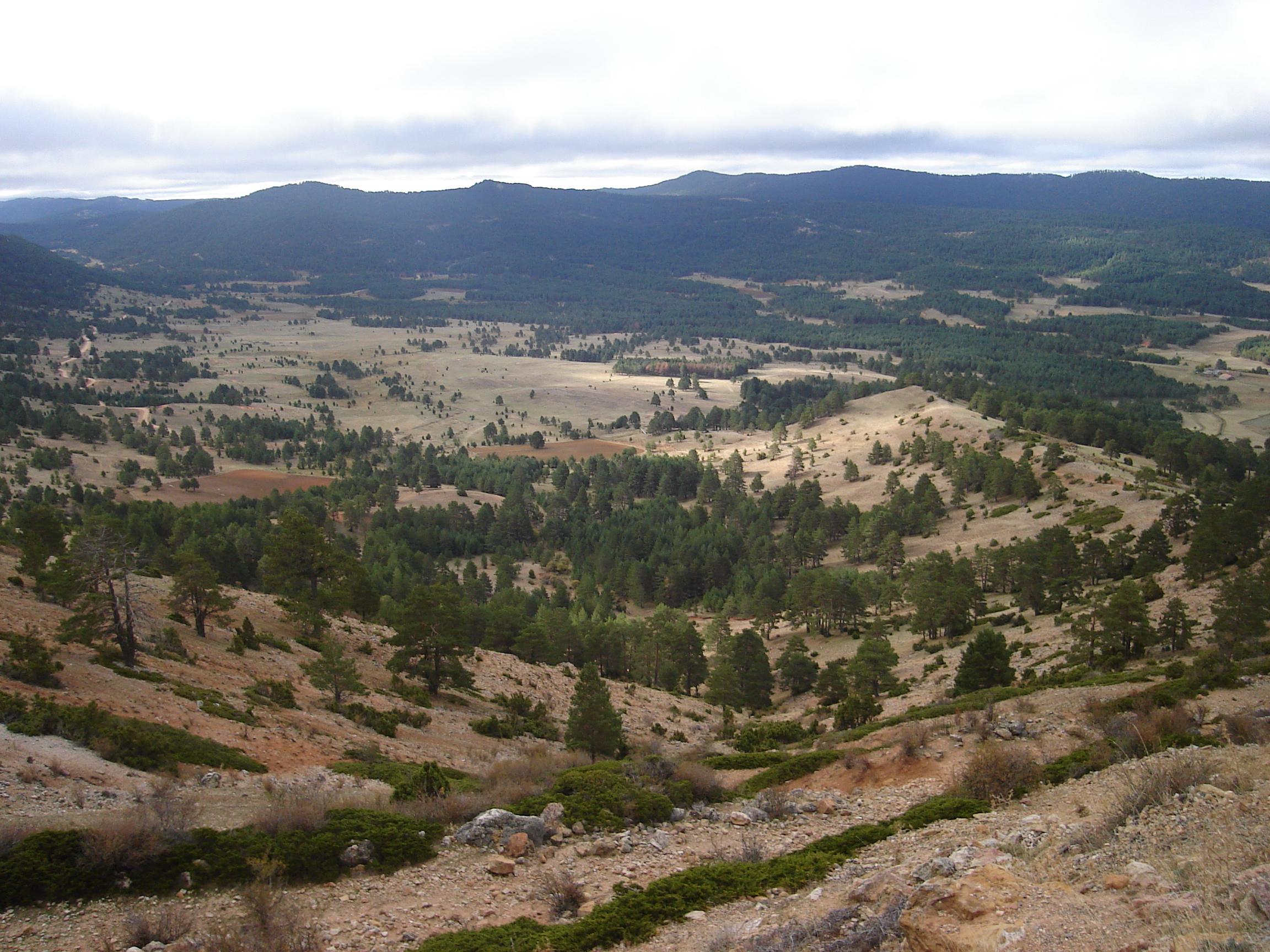
These mountains are covered with mostly not very dense clumps of pine, oak and Iberian Juniper (Juniperus thurifera) forest.
Radiocarbon samples from Ojos del Tremedal show that birches, now almost absent from these mountains, were very common in the Montes Universales during the ice age around 9,600 years ago. Signs of human interference with the vegetation have been detected beginning from about 3,500 years before.[3]
See also
References
External links
Categories:- Mountains of Aragon
- Iberian System
- Tagus basin


Wikimedia Foundation. 2010.