- Moita Municipality
-
Moita — Municipality — 
Flag
Coat of armsLocation in Portugal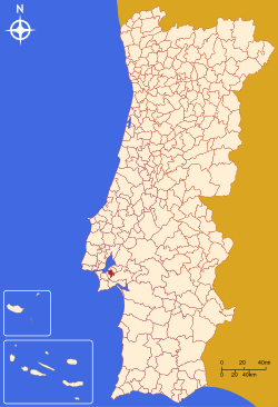
Coordinates: 38°39′N 08°15′W / 38.65°N 8.25°WCoordinates: 38°39′N 08°15′W / 38.65°N 8.25°W Country  Portugal
Region Lisboa Subregion Península de Setúbal District/A.R. Setúbal Government – Mayor João Lobo (CDU) Area – Total 55.0 km2 (21.2 sq mi) Population – Total 69,603 – Density 1,266/km2 (3,278.9/sq mi) Parishes (no.) 6 Municipal holiday Tuesday after the 2nd
Sunday of SeptemberWebsite http://www.cm-moita.pt Moita (Portuguese pronunciation: [ˈmojtɐ]) is a municipality in Portugal with a total area of 55.0 km² and a total population of 69,603 inhabitants.
The municipality is composed of 6 parishes, and is located in the district of Setúbal.
The present Mayor is João Manuel Jesus Lobo, elected by the Democratic Unity Coalition.
The municipal holiday is the 1st Tuesday after the 2nd Sunday of September.
Parishes
- Alhos Vedros
- Baixa da Banheira
- Gaio-Rosário
- Moita
- Sarilhos Pequenos
- Vale da Amoreira
External links
Alcácer do Sal · Alcochete · Almada · Barreiro · Grândola · Moita · Montijo · Palmela · Santiago do Cacém · Seixal · Sesimbra · Setúbal · Sines Categories:
- Municipalities of Portugal
- Towns in Portugal

Wikimedia Foundation. 2010.