- Minkend
-
Coordinates: 39°42′34″N 46°15′14″E / 39.70944°N 46.25389°E
Minkənd
Հակ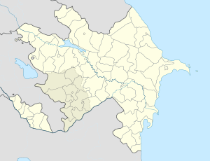
 Minkənd
ՀակCoordinates: 39°42′34″N 46°15′14″E / 39.70944°N 46.25389°E Country De-jure  Azerbaijan
De-facto Nagorno-Karabakh
Rayon
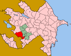
ProvinceLachin
QashataghTime zone UTC (UTC+4) – Summer (DST) UTC (UTC+5) Minkend (Azerbaijani: Minkənd; and Hak – Armenian: Հակ) is a Kurdish[1] village in Lachin district of Azerbaijan. Since May 17, 1992 the village together with Lachin district has been under control of the Armenian forces[2][3][4].
Contents
Geography
The village is located at the west side of the Hakari River and in the north part of Lachin district, 320 km from Baku, the capital of Azerbaijan.
History
In 1905 140 Armenian inhabitants of the village were killed and 40 wounded during the Armenian-Tatar massacres[5]
Economy
Famous people
References
- ^ Voice of Karabakh
- ^ Negotiating a black hole, published in the Guardian
- ^ Lachin: The Emptying Lands Institute for War & Peace Reporting
- ^ U.S. Department of State - 1993 UN Security Council Resolutions on Nagorno-Karabakh
- ^ Villari, Luigi. Fire and Sword in the Caucasus. London: T. F. Unwin, 1906 ISBN 0-7007-1624-6 p. 2199
Categories:- Populated places in Lachin Rayon
- Populated places in Qashatagh Province
- Nagorno-Karabakh
- Kurdish villages in Azerbaijan
- Lachin Rayon geography stubs

Wikimedia Foundation. 2010.