- Mesquite Mountains
-
Mesquite Mountains Mountain Range Country United States State California District San Bernardino County Coordinates 35°43′9.913″N 115°42′37.025″W / 35.71942028°N 115.71028472°W Highest point - elevation 1,321 m (4,334 ft) Timezone Pacific (UTC-8) - summer (DST) PDT (UTC-7) Topo map USGS Mesquite Mountains 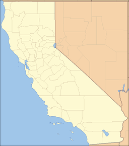

The Mesquite Mountains are a mountain range in eastern San Bernardino County, California, near the border with Nevada.[1] They are north of Interstate 15 in California and southeast of Death Valley.
Contents
North Mesquite Mountains Wilderness Area
The North Mesquite Mountains Wilderness Area consists of the broad western end of Sandy Valley and the northern portion of Mesquite Mountains. Rolling brown foothills, a few steeper mountains, and medium sized buttes comprise the reddish-brown geologic features in the wilderness. It is managed by the Bureau of Land Management.[2]
Flora and fauna
Vegetation of this area is characteristic of the mid-elevations of the eastern Mojave Desert. Dominant vegetation includes creosote brush scrub, blackbush, Joshua tree woodland, yucca, cacti, and some grasses.
Wildlife is also typical for the Mojave Desert; including coyote, black-tailed jackrabbits, ground squirrels, kangaroo rats, quail, roadrunners, rattlesnakes and several species of lizards. The southern tip of the wilderness provides critical habitat for the desert tortoise.
See also
- Category: Mountain ranges of the Mojave Desert
- Category: Protected areas of the Mojave Desert
- Category: Flora of the California desert regions
External links
- Official North Mesquite Mountains Wilderness Area website
- BLM North Mesquite Mountains Wilderness Map
References
- ^ a b "Mesquite Mountains". Geographic Names Information System, U.S. Geological Survey. http://geonames.usgs.gov/pls/gnispublic/f?p=gnispq:3:::NO::P3_FID:245826. Retrieved 2009-05-04.
- ^ http://www.blm.gov/ca/st/en/prog/wilderness/wa/areas/north_mesquite_mountains.html . accessed 6/22/2010 . BLM public domain information sourced
Categories:- Mountain ranges of the Mojave Desert
- Protected areas of the Mojave Desert
- Mountain ranges of San Bernardino County, California
- Bureau of Land Management areas in California
- San Bernardino County, California geography stubs

Wikimedia Foundation. 2010.