- Mesquite Hills
-
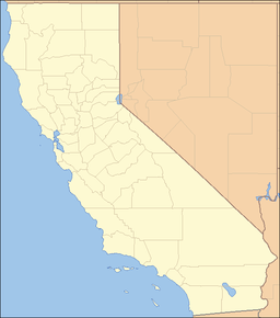
Mesquite Hills Mountain Range Country United States State California District San Bernardino County Coordinates 35°0′30.945″N 116°9′30.051″W / 35.00859583°N 116.1583475°W Highest point - elevation 366 m (1,201 ft) Timezone Pacific (UTC-8) - summer (DST) PDT (UTC-7) Topo map USGS Crucero Hill location of Mesquite Hills in California [1]See also: Mesquite MountainsThe Mesquite Hills are a low mountain range in San Bernardino County, California.[1]
They are in the Mojave National Preserve, and were on the old route of the Tonopah and Tidewater Railroad, with a settlement named Crucero on the line in the Mesquite Hills.
References
See also
- Category: Mountain ranges of the Mojave Desert
- Category: Protected areas of the Mojave Desert
- Category: Mojave National Preserve
Categories:- Mountain ranges of the Mojave Desert
- Mojave National Preserve
- Mountain ranges of San Bernardino County, California
- San Bernardino County, California geography stubs
Wikimedia Foundation. 2010.

