- Meerbach
-
Meerbach 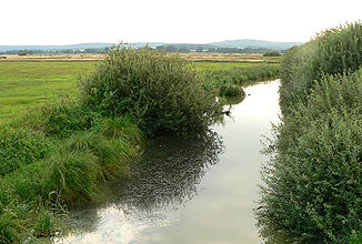
The Meerbach in the Meerbruch meadows by Lake Steinhude
Data Location Lower Saxony,  Germany
Reference no. DE: 478 Length 29 km Source Lake Steinhude
52°28′10″N 9°16′35″E / 52.46944°N 9.27639°ECoordinates: 52°28′10″N 9°16′35″E / 52.46944°N 9.27639°EMouth near Nienburg into the Weser
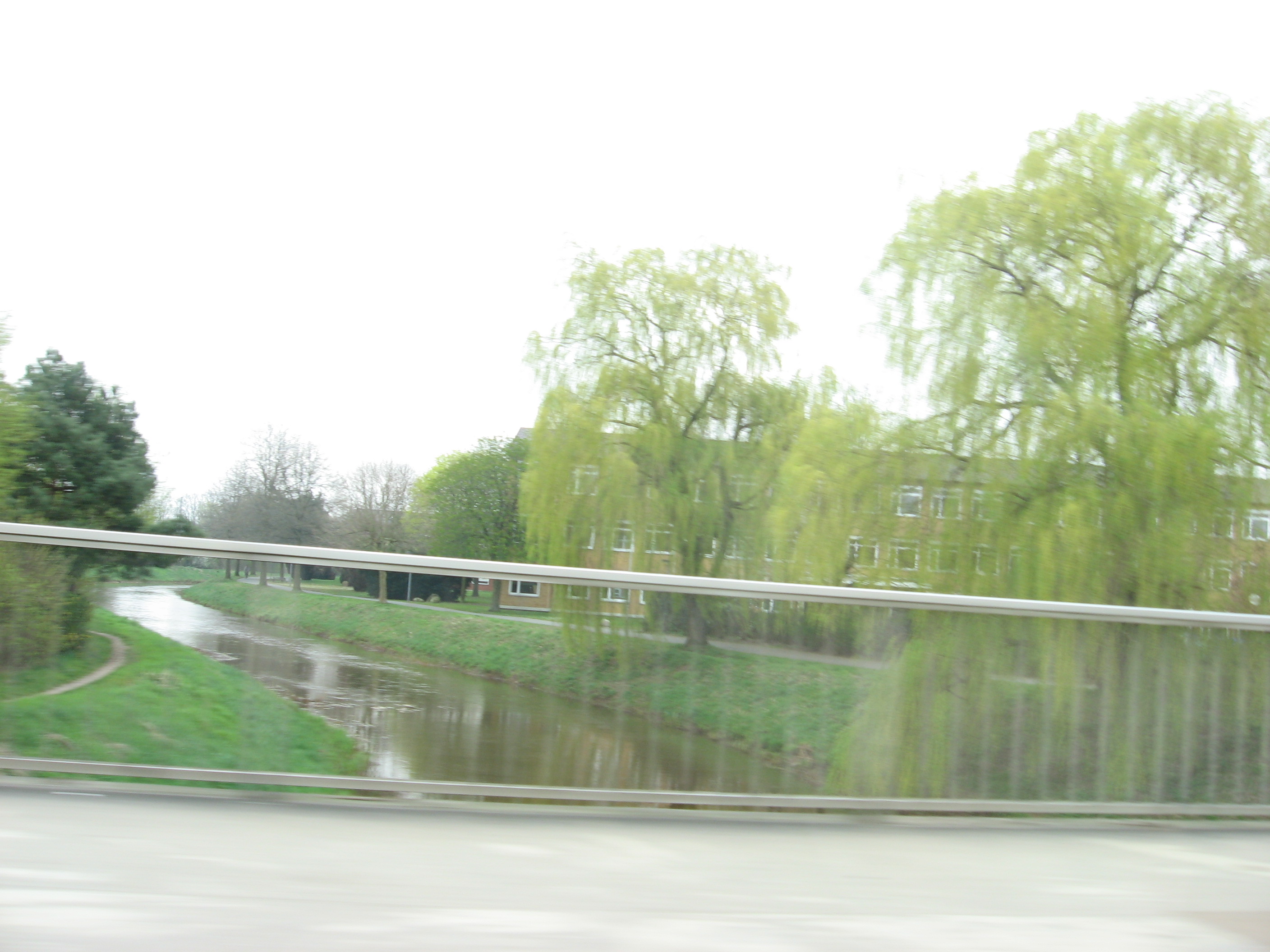
52°38′11″N 9°12′16″E / 52.63625°N 9.20444°EBasin Weser Large towns Nienburg Villages Stadt Rehburg-Loccum, Landesbergen 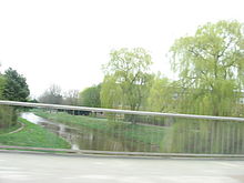 The Meerbach in Nienburg
The Meerbach, also called the Steinhuder Meerbach, is a 29 km long orographically right-hand tributary of the River Weser in the German federal state of Lower Saxony.
Geography
Course
The Meerbach is the natural tailstream of Lake Steinhude. Its channel flow significantly exceeds the inflow of above-ground headstreams of the lake. It leaves the lake at its northwestern end and then flows west through the Meerbruch nature reserve and the village of Rehburg. It then swings northwards and empties, after 29 km, into the Weser at Nienburg.
The Meerbach is canalised along almost its entire length. Within the town of Nienburg the Meerbach is also commonly known as the Aue, and in the neighbouring villages to the south also as the Bäke.
At the point where the river bends sharply to the west in Nienburg shortly before its confluence with the Weser the Meerbach used to flow further to the northeast and discharge into the River Aller at Rethem. Today the Schipsegraben ditch runs along the old river course.
Categories:- Weser drainage basin
- Rivers of Lower Saxony
- Steinhuder Meer

Wikimedia Foundation. 2010.