- Algonquin Highlands
-
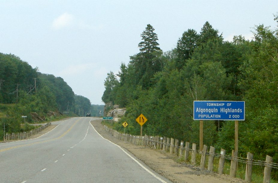
Algonquin Highlands — Township — 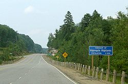

 Algonquin Highlands
Coordinates: 45°24′N 78°45′W / 45.4°N 78.75°WCoordinates: 45°24′N 78°45′W / 45.4°N 78.75°W Country  Canada
Province  Ontario
County Haliburton Settled Incorporated Government – Type Township – Reeve Carol Moffatt – Federal riding Haliburton—Kawartha Lakes—Brock – Prov. riding Haliburton—Kawartha Lakes—Brock Area[1] – Land 1,002.12 km2 (386.9 sq mi) Elevation 443 m (1,453 ft) Population (2006)[1] – Total 1,976 – Density 2.0/km2 (5.2/sq mi) Time zone EST (UTC-5) – Summer (DST) EDT (UTC-4) Postal Code K0M Area code(s) 705 Website www.algonquinhighlands.ca  Municipal office near Carnarvon
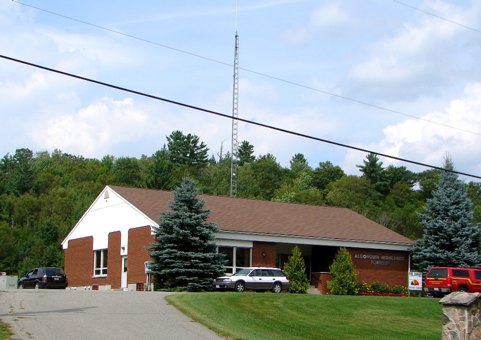
Algonquin Highlands is a township located in Haliburton County, Ontario, Canada. It has a population of 1,976. The northeastern section of the township is included in Algonquin Provincial Park.
The township was formed through the amalgamation of Stanhope and Sherborne et al. townships, the latter of which included McClintock, Livingstone, Lawrence and Nightingale. It was thereafter briefly known as the Township of Sherborne, Stanhope, McClintock, Livingstone, Lawrence and Nightingale until it was renamed to its current name in March 2001.
The township lacks a commercial center, but its municipal offices are located on North Shore Road, 5 km north of Carnarvon at 45°05′09″N 78°41′36″W / 45.08583°N 78.69333°W. A satellite municipal office is located in Dorset, the main street of which straddles the border of Algonquin Highlands to the east and Lake of Bays to the west.
Contents
Communities
The township includes half the village of Dorset, part of Carnarvon and the hamlets of Boshkung, Buttermilk Falls, Halls Lake, Little Hawk Lake, Maple Lake, Ox Narrows, and Oxtongue Lake.
Demographics
According to the Canada 2006 Census:[1]
- Population: 1,976
- % Change (2001-2006): 8.2
- Land Area: 1,002.12 square kilometres (386.92 sq mi)
- Population Density per km²: 2.0 people per km²
- Private dwellings occupied by usual residents: 868 (total dwellings: 3624)
- Mother tongue:
- English as first language: 92.1 %
- French as first language: 1.3 %
- English and French as first language: 0 %
- Other as first language: 6.6 %
Population trend:[2]
- Population in 2006: 1976
- Population in 2001: 1827
- Population in 1996:
- Sherborne and Others (township): 487
- Stanhope (township): 1200
- Population in 1991:
- Sherborne and Others (township): 535
- Stanhope (township): 1178
References
- "Algonquin Highlands". Geographical Names Data Base. Natural Resources Canada. http://geonames.nrcan.gc.ca/search/unique_e.php?id=FEVUD&output=xml. Retrieved 2010-07-12.
- "Topographic Map sheets 31E2 & 31E7". Atlas of Canada. Natural Resources Canada. 2006-02-06. http://atlas.nrcan.gc.ca/site/english/maps/topo/map/. Retrieved 2008-12-15.
External links

Unorganized South Nipissing Lake of Bays 
South Algonquin  Algonquin Highlands

Minden Hills, Dysart et al Categories:- Township municipalities in Ontario
- Municipalities in Haliburton County, Ontario
- Ontario geography stubs

Wikimedia Foundation. 2010.