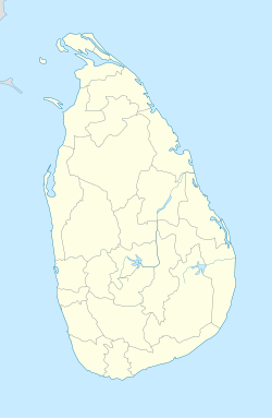
- Mannar, Sri Lanka
-
Mannar
மன்னார்
මන්නාරම— Town — Coordinates: 8°58′N 79°53′E / 8.967°N 79.883°E Country Sri Lanka Province Northern District Mannar DS Division Mannar Government - Type Urban Council - Chairman Santhanpillai Gnanaprgasam (TNA) Area - Total 27.85 km2 (10.8 sq mi) Population (2007) - Total 22,581 - Density 811/km2 (2,091/sq mi) Time zone Sri Lanka Standard Time Zone (UTC+5:30) Mannar (Tamil: மன்னார், Sinhala: මන්නාරම), formerly spelled Manar, is the capital of Mannar District, Sri Lanka. It is located on Mannar Island.
Mannar is known for its baobab trees and for its fort, built by the Portuguese in 1560 and taken by the Dutch in 1658 and rebuilt; its ramparts and bastions are intact, though the interior is largely destroyed. Formerly the town was renowned as a center of pearl fishing, mentioned in the 2nd-century CE Periplus of the Erythraean Sea.[1] Visually, the modern town is dominated by its mosques and churches.[2]
References
- ^ Noted in Edwin William Streeter, Pearls and Pearling Life 1886:24.
- ^ Edward Aves, Sri Lanka (Footprint Travel Guides, 2003: ISBN 1903471788), p. 337.
External links
Urban councils of Sri Lanka Ambalangoda · Ampara · Anuradhapura · Balangoda · Bandarawela · Beruwala · Boralesgamuwa · Chavakacheri · Chilaw · Dehiwala-Mount Lavinia · Embilipitiya · Eravur · Gampola · Hambantota · Haputale · Hatton-Dickoya · Hikkaduwa · Horana · Ja-Ela · Kadugannawa · Kalutara · Kattankudi · Katunayaka-Seeduwa · Kegalle · Kesbewa · Kinniya · Kolonnawa · Kuliyapitiya · Maharagama · Mannar · Minuwangoda · Monaragala · Mullaitivu · Nawalapitiya · Panadura · Peliyagoda · Point Pedro · Polonnaruwa · Puttalam · Seethawakapura · Tangalle · Talawakele-Lindula · Trincomalee · Valvettithura · Vavuniya · Wattala-Mabola · Wattegama · WeligamaCoordinates: 8°58′N 79°53′E / 8.967°N 79.883°E
Categories:- Mannar
- Populated places in Northern Province, Sri Lanka
- Northern Province, Sri Lanka geography stubs
Wikimedia Foundation. 2010.

