- Malatia-Sebastia District
-
Malatia-Sebastia
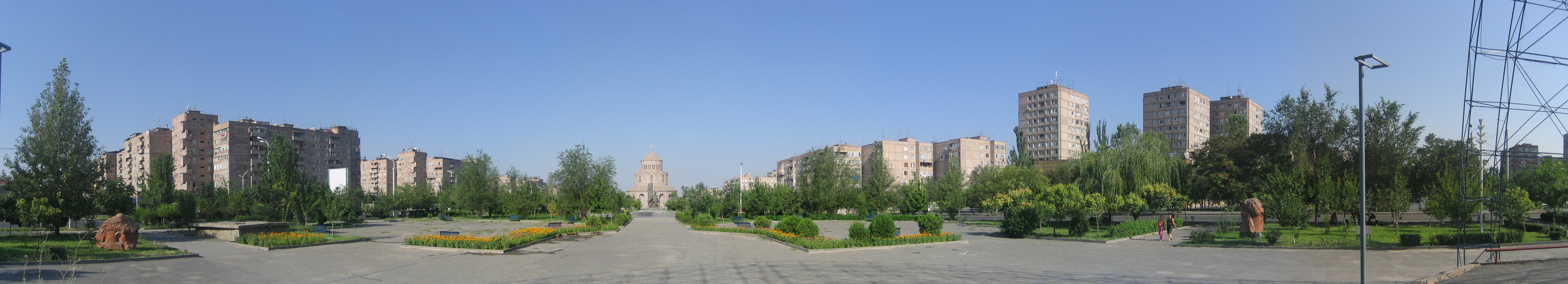
Մալաթիա-ՍեբաստիաPanorama of Malatia-Sebastia
 Malatia-Sebastia
Մալաթիա-ՍեբաստիաCoordinates: 40°10′26.10″N 44°26′44.79″E / 40.173917°N 44.445775°ECoordinates: 40°10′26.10″N 44°26′44.79″E / 40.173917°N 44.445775°E Country Armenia Marz (Province) Yerevan Elevation 950 m (3,117 ft) Population (2001) – Total 140,888 Time zone (UTC+4) – Summer (DST) (UTC+5) Malatia-Sebastia (Armenian: Մալաթիա-Սեբաստիա) is one of the districts of the Armenian capital Yerevan located in the western part of the city. The district is sometimes referred to as Bangladesh by locals, to describe its relatively far distance from the center of the city. Its population at the 2001 census was reported as 142,383. The name of the commune is derived from two former major settlements of Anatolian Armenians; Malatya and Sivas.
Gallery
-
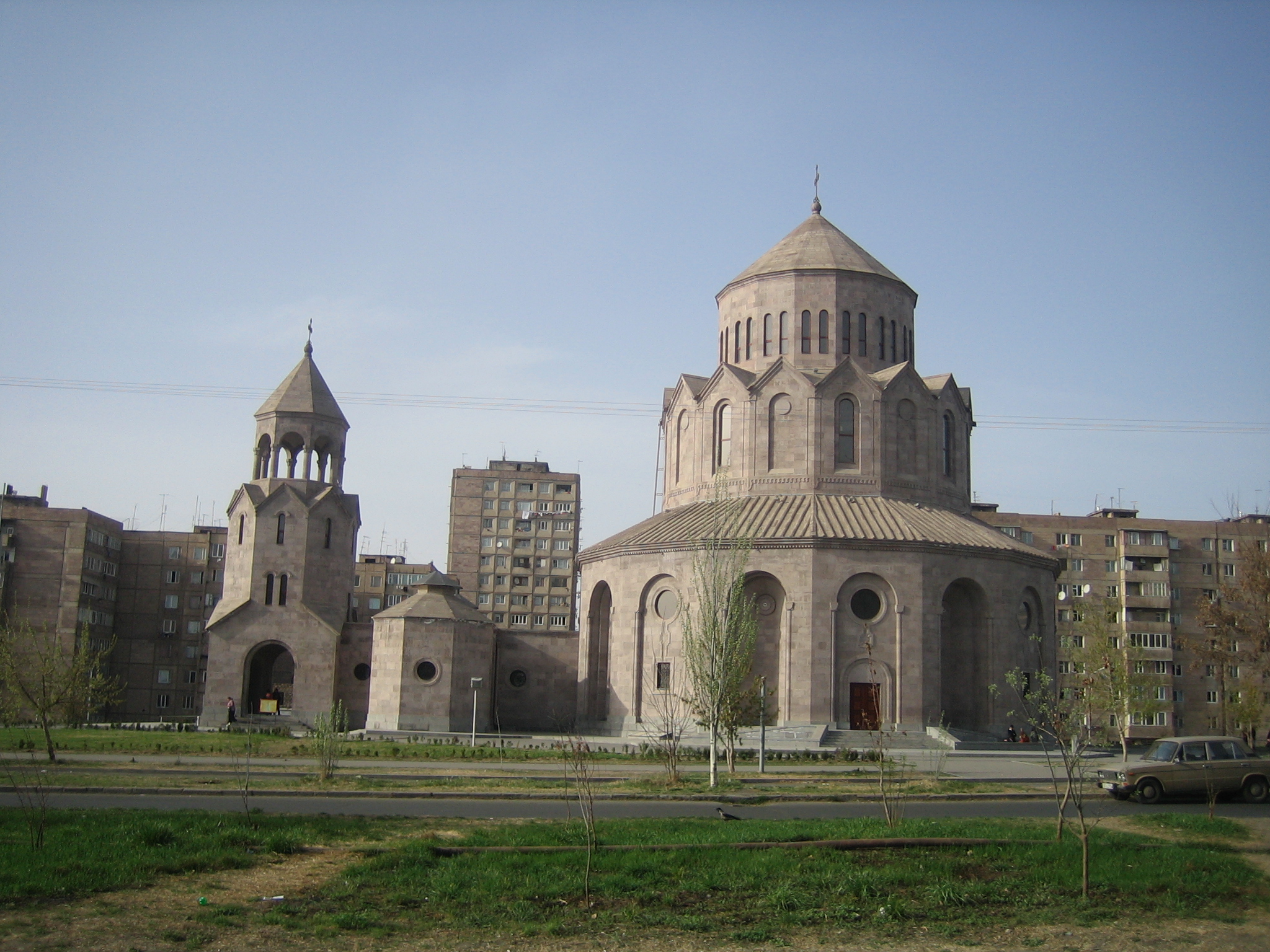
The Holy Trinity Church (consecrated in 2003)
References
- Report of the results of the 2001 Armenian Census, National Statistical Service of the Republic of Armenia
External links
Ajapnyak • Arabkir • Avan • Davtashen • Erebuni • Kanaker-Zeytun • Kentron • Malatia-Sebastia • Nork-Marash • Nor Nork • Nubarashen • Shengavit Categories:
- Districts of Yerevan
- Yerevan geography stubs
-

Wikimedia Foundation. 2010.