- Makwanpurgadhi
-
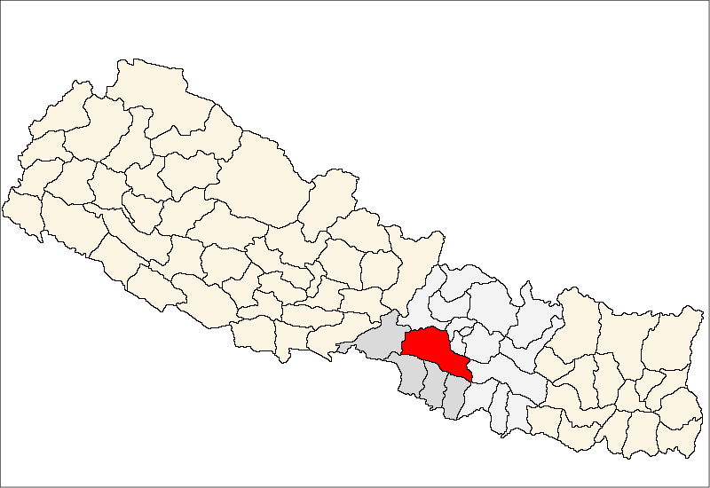
Makwanpurgadhi — Village development committee — Location in Nepal
 Makwanpurgadhi
Coordinates: 27°25′N 85°10′E / 27.42°N 85.17°ECoordinates: 27°25′N 85°10′E / 27.42°N 85.17°E Country  Nepal
NepalZone Narayani Zone District Makwanpur District Population (1991) - Total 10,300 Time zone Nepal Time (UTC+5:45) Makwanpurgadhi is a village development committee in Makwanpur District in the Narayani Zone of southern Nepal. At the time of the 1991 Nepal census it had a population of 10,300 people living in 1905 individual households.[1]
References
- ^ "Nepal Census 2001". Nepal's Village Development Committees. Digital Himalaya. http://www.digitalhimalaya.com/collections/nepalcensus/form.php?selection=1. Retrieved 9 December 2008.
Agara, Ambhanjyang, Bajrabarahi, Basamadi, Betini, Bhaise, Bharta Pundyadevi, Bhimfedi, Budhichaur, Chhatiwan, Chitlang, Churiyamai, Daman, Dandakharka, Dhimal, Fakhel, Faparbadi, Gogane, Handikhola, Hatiya, Hurnamadi, Ipa Panchakanya,
Kalikatar, Kankada, Khairang, Kogate, Kulekhani, Makwanpurgadhi, Manahari, Manthali, Markhu, Marta Punchedevi, Namtar, Nibuwatar, Padma Pokhari, Palung, Raigaun, Raksirang, Sarikhet Palase, Shikharpur, Shreepur Chhatiwan, Sisneri Mahadevsthan, Sukaura, Thingan, Tistung Deurali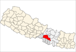 Categories:
- Populated places in Makwanpur District
- Narayani Zone geography stubs

Wikimedia Foundation. 2010.