- Gordon Parish, New Brunswick
-
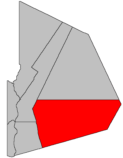
Gordon — Parish — Location of Gordon Parish within Victoria County, New Brunswick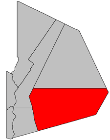
Coordinates: 46°50′15″N 67°22′57″W / 46.8375°N 67.3825°W Country  Canada
Province  New Brunswick
County Victoria Established 1863 Area[1] - Land 1,430.98 km2 (552.5 sq mi) Population (2006)[1][2] - Total 1,786 - Density 1.2/km2 (3.1/sq mi) - Change 2001-06  3.1%
3.1%- Census Ranking 1,426 of 5,008 Time zone AST (UTC-4) - Summer (DST) ADT (UTC-3) Dwellings 832 Median Income* $40,281 CDN *Median household income, 2005 (all households) Gordon is a Canadian parish in Victoria County, New Brunswick.[3]
Its population in the 2006 Census was 1,786.
Contents
Communities
- Plaster Rock
- Wapske
- Weaver
- Maple View
- Sisson Ridge
- North View
- Crombie Settlement
- Anfield
- Hazeldean
- Bluebell Station
- Anderson Road
- St. Almo
- O'Dell
- Three Brooks
- Arthurette
- Picadilly
- Red Rapids
- Rowena
- Birch Ridge
Demographics
Population
Population trend[4]
Census Population Change (%) 2006 1,786 3.1%2001 1,844 6.6%1996 1,975  1.8%
1.8%1991 1,940 N/A Language
Mother tongue language (2006)[1]
Language Population Pct (%) English only 1,680 95.19% French only 65 3.68% Other languages 20 1.13% Both English and French 0 0.00% See also
References
- ^ a b c 2006 Statistics Canada Community Profile: Gordon Parish, New Brunswick
- ^ Statistics Canada Population and dwelling counts, for Canada and census subdivisions (municipalities), 2006 and 2001 censuses - 100% data
- ^ New Brunswick Provincial Archives - Gordon Parish
- ^ Statistics Canada: 1996, 2001, 2006 census

Denmark Parish Lorne Parish Southesk Parish (Northumberland County) Perth Parish 
Stanley Parish (York County)  Gordon Parish

Kent Parish (Carleton County) Subdivisions of New Brunswick Subdivisions Cities Counties Albert · Carleton · Charlotte · Gloucester · Kent · Kings · Madawaska · Northumberland · Queens · Restigouche · Saint John · Sunbury · Victoria · Westmorland · York Category:New Brunswick ·
  Portal:New Brunswick ·
  WikiProject:New BrunswickCategories:
- Parishes of New Brunswick
- Victoria County, New Brunswick
Wikimedia Foundation. 2010.