Derbyshire County Cricket Club in 2005 — Derbyshire Phantoms Ground County Ground, Derby Website Captain Luke Sutton Squad Overseas players … Wikipedia
Derbyshire Wildlife Trust — Derbyshire Wildlife Trust, Derbyshire, England, is a member of The Wildlife Trusts partnership. It was established in 1962 and has over 6,000 members. It manages 40 nature reserves totalling over 1,000 acres (4.0 km2) of woodland, wetland… … Wikipedia
Dale Holmes — [[File: |290px|alt= |]] Personal information Full name Dale John Holmes Born 6 October 1971 (1971 10 06) (age 40) Heanor, United Kingdom … Wikipedia
Dale Abbey — Coordinates: 52°56′42″N 1°21′07″W / 52.945°N 1.352°W / 52.945; 1.352 … Wikipedia
Derbyshire Dales National Nature Reserve — The Derbyshire Dales National Nature Reserve is a series of unconnected limestone dales in the Peak District National Park. It is managed by Natural England and has a permanent staff of wardens who carry out conservation works and ensure the… … Wikipedia
Derbyshire lead mining history — Goodluck Mine in Via Gellia. This article details some of the history of lead mining in Derbyshire, England. Contents 1 … Wikipedia
List of civil parishes in Derbyshire — poly 70 249 70 233 88 235 90 222 97 222 109 225 109 234 113 239 125 246 127 250 135 253 142 250 143 244 147 240 156 242 165 249 151 259 144 274 137 274 134 284 125 290 121 289 113 292 111 298 111 306 104 311 92 312 87 305 81 299 98 283 86 288 101 … Wikipedia
Monsal Dale — Panorama of Monsal Dale and the Headstone Viaduct Monsal Dale is a valley in the Peak District of Derbyshire in England. In geological history this area of Derbyshire was long ago under water, and is formed from a subsequent uplift of resultant… … Wikipedia
Matlock, Derbyshire — Coordinates: 53°08′N 1°33′W / 53.14°N 1.55°W / 53.14; 1.55 … Wikipedia
Millers Dale railway station — Millers Dale Location Coordinates … Wikipedia

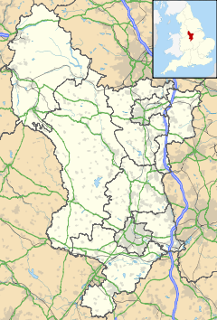
 Dale End shown within Derbyshire
