- D60 road (Croatia)
-
D60 state road
Route information Length: 66.1 km (41.1 mi) Major junctions From:  D1 in Brnaze
 D220 in Trilj and south of Čaporice
 D39 in Cista Provo
To: Vinjani Donji border crossing Location Counties: Split-Dalmatia Major cities: Trilj, Imotski Highway system State roads in Croatia
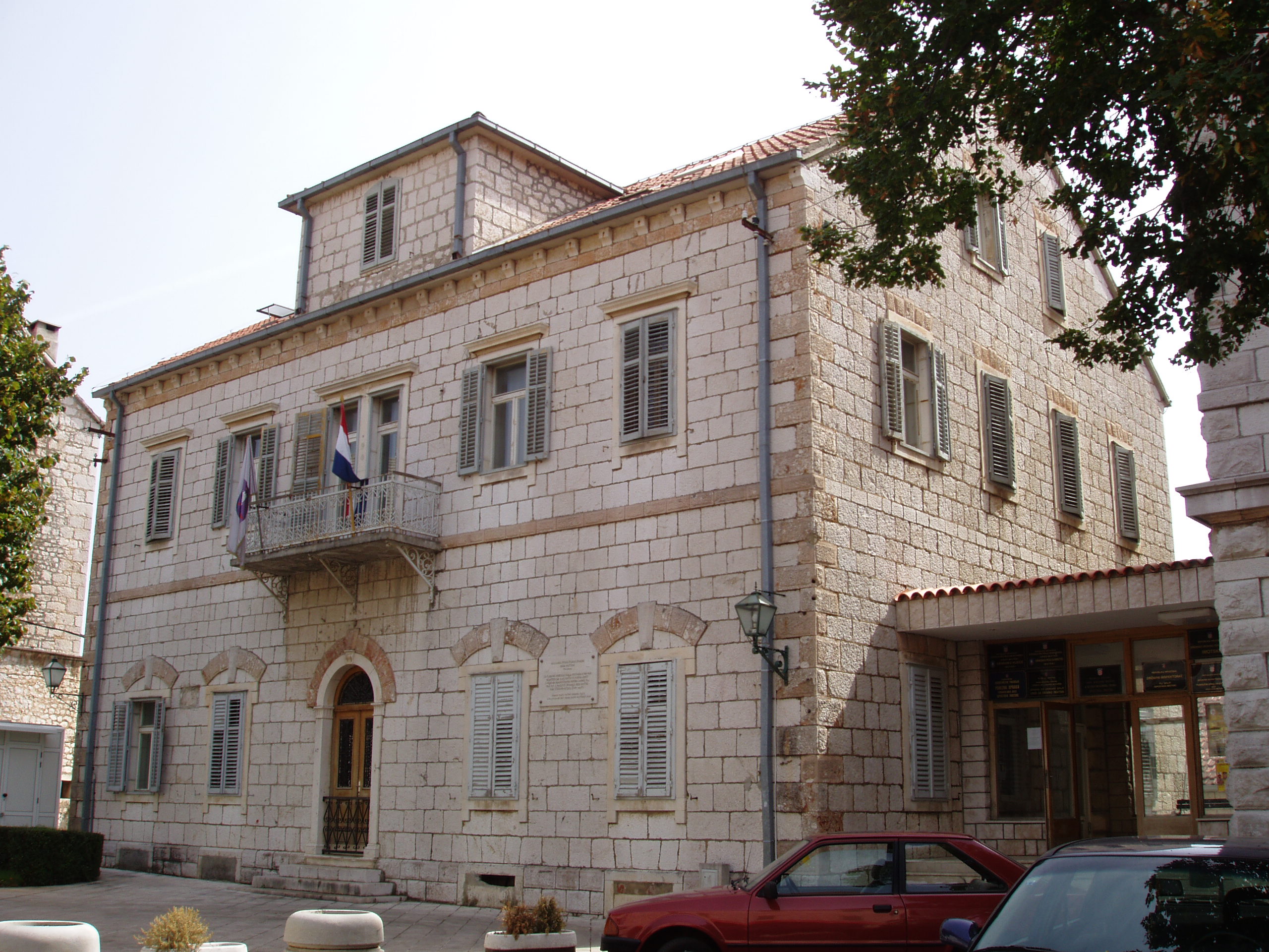
 Imotski, on the D60 route
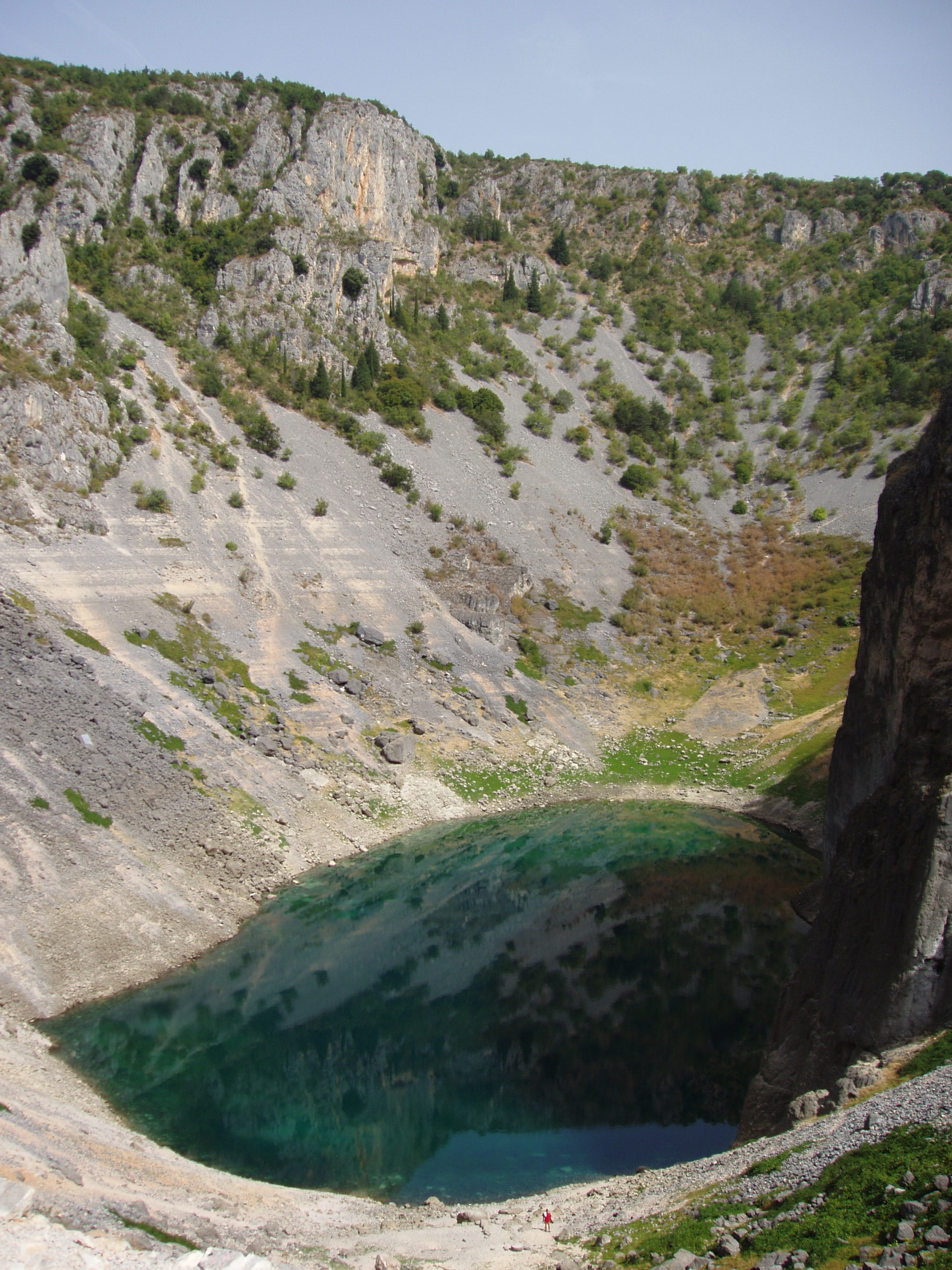
 Blue Lake, near Imotski, just to the north of D60
D60 is a state road in Dalmatia region of Croatia connecting D1 state road in Brnaze to Vinjani Donji border crossing to Sovići, Bosnia and Herzegovina via Imotski. The road is 66.1 km (41.1 mi) long.[1]
The road also provides connections to numerous towns and cities in Dalmatian hinterland, most notably to Imotski, Cista Provo, Trilj either directly or via numerous roads connecting to D60. The road also serves traffic to and from other, numerous border crossings to Bosnia and Herzegovina in the area via several county roads connecting to the D60 state road.
The road, as well as all other state roads in Croatia, is managed and maintained by Hrvatske ceste, a state-owned company.[2]
Traffic volume
Traffic is regularly counted and reported by Hrvatske ceste, operator of the road.[3] Substantial variations between annual (AADT) and summer (ASDT) traffic volumes are attributed to the fact that the road serves as a connection to A1 motorway and D1 state road carrying substantial tourist traffic.
D60 traffic volume Road Counting site AADT ASDT Notes  D60
D605505 Trilj 6,096 8,041 The westernmost traffic counting site on D60. D605510 Cista Velika 2,640 3,161 D605901 Lovreć 2,870 3,580 D606001 Grubine 4,664 5,753 D606012 Vinjani Donji 3,498 4,321 The easternmost traffic counting site on D60. Road junctions and populated areas
D60 major junctions/populated areas Type Slip roads/Notes 
Brnaze
D1 to Sinj and Knin (to the north) and to Dugopolje interchange of A1 motorway and Split (to the south).
The western terminus of the road.Turjaci 
Ž6124 to Vojnić Sinjski Trilj
D220 to Kamensko border crossing to Livno, Bosnia and Herzegovina (to the north). D60 and D220 are concurrent to the east.Čaporice D220 to Bisko interchange of the A1 motorway (to the south). D60 and D220 are concurrent to the west.Ugljane
Ž6149 to Strmec Dolac.
Ž6150 to Blato na Cetini.Čista Velika Ž6153 to Dobranje and Tijarica Cista Provo
D39 to Aržano (to the north) and to Šestanovac interchange of the A1 motorway and Brela (to the south).Lovreć
Ž6155 to Studenci.
Ž6173 to Opanci.Ž6179 to Medovdolac and Grabovac. Kljenovac
Ž6177 to Lokvičić.Grubine
Ž6180 to Poljica.Ž6186 to Podbablje. Ž6182 to Kamenmost, Zmijavci and Runovići. Ž6157 to Glavina Donja and Proložac. Imotski
Ž6156 to Ričice.
Ž6264 to Vinjani Gornji border crossing to Posušje, Bosnia and Herzegovina.
Vinjani Donji border crossing to Sovići, Bosnia and Herzegovina.[4] Sources
- ^ "Decision on categorization of public roads as state roads, county roads and local roads" (in Croatian). Narodne novine. February 17, 2010. http://narodne-novine.nn.hr/clanci/sluzbeni/2010_02_17_410.html.
- ^ "Public Roads Act" (in Croatian). Narodne novine. December 14, 2004. http://narodne-novine.nn.hr/clanci/sluzbeni/2004_12_180_3130.html.
- ^ "Traffic counting on the roadways of Croatia in 2009 - digest" (in English). Hrvatske ceste. May 1, 2010. http://www.hrvatske-ceste.hr/WEB%20-%20Legislativa/brojenje-prometa/CroDig2009.pdf.
- ^ "Map of border crossings and customs office areas" (in Croatian). Customs Administration of the Republic of Croatia. March 6, 2008. http://www.carina.hr/CURH/Dokumenti/Globalni/Karta_Carinarnica_RH.pdf.
Categories:- State roads in Croatia
- Split-Dalmatia County

Wikimedia Foundation. 2010.