- D414 road (Croatia)
-
D414 state road
Route information Length: 64.7 km (40.2 mi) Major junctions From:  Orebić ferry port
 D415 in Donja Banda
 D416 near Ston
To:  D8 near Doli
Location Counties: Dubrovnik-Neretva Major cities: Ston, Orebić Highway system State roads in Croatia
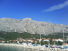 Orebić, at the western terminus of the D414 road
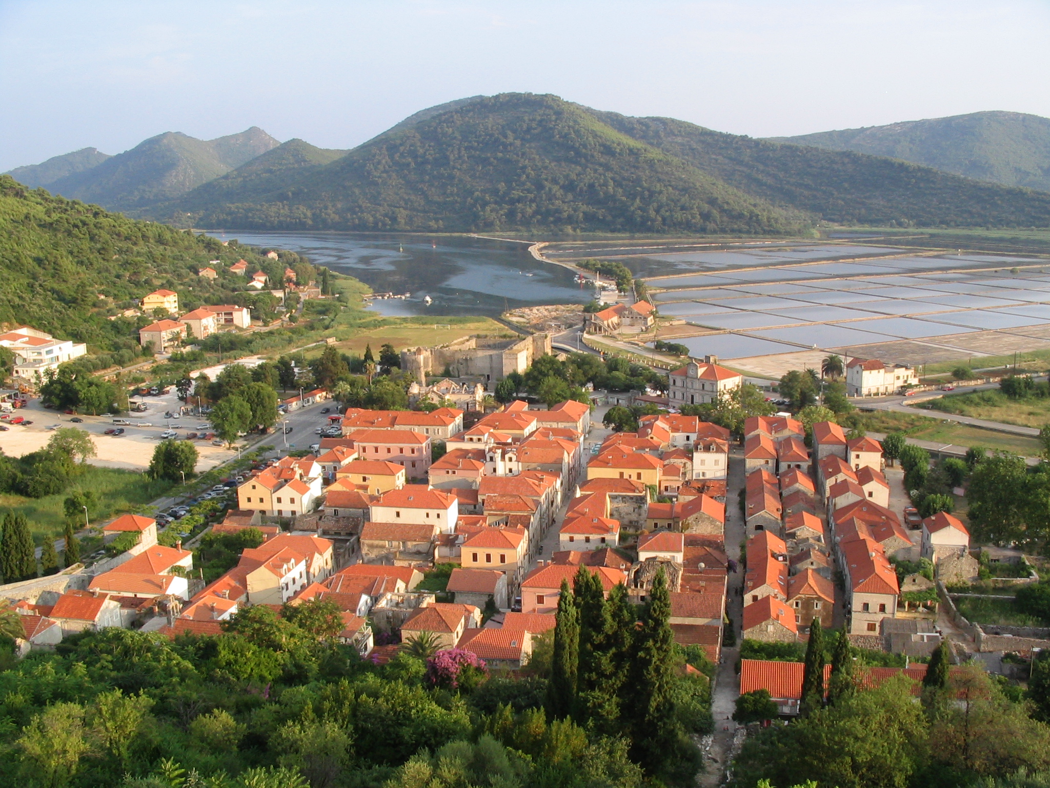
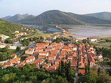 Ston, on the D414 road route
D414 is the main state road on Pelješac peninsula in Croatia connecting towns of Ston and Orebić and ferry ports in Orebić, Trpanj and Prapratno, from where Jadrolinija ferries fly to islands of Korčula and Mljet as well as the mainland port of Ploče, connecting to the D118, D413 and D123 state roads respectively.[1] The road is 64.7 km (40.2 mi) long.[2]
The road, as well as all other state roads in Croatia, is managed and maintained by Hrvatske ceste, a state-owned company.[3]
Contents
Traffic volume
Traffic is regularly counted and reported by Hrvatske ceste (HC), operator of the road. Furthermore, the HC report number of vehicles using Orebić – Korčula (Dominče) ferry line, connecting the D414 road to the D118 state road.[4] Substantial variations between annual (AADT) and summer (ASDT) traffic volumes are attributed to the fact that the road connects a number of Adriatic Sea resorts to the mainland.
D414 traffic volume Road Counting site AADT ASDT Notes  D414
D4146401 Golubnica 1,970 3,827 Adjacent to the D415 junction. D4146502 Putniković 1,819 3,902 Adjacent to the Ž6226 junction. D414634 Orebić-Dominče 476 868 Vehicles using Orebić-Dominče ferry line. Road junctions and populated areas
D414 junctions/populated areas Type Slip roads/Notes 
Orebić ferry port – access to island of Korčula (by a Jadrolinija ferry line)[1] and D410 to the D118 state road.
The western terminus of the road.
Orebić
Ž6215 to Viganj and Lovište.Stankovići Donja Banda
D415 to Trpanj and Trpanj ferry port (ferry access to Ploče and the D413 state road.Potomje Pijavičino Popova Luka Janjina Drače Dubrava
Ž6226 to Žuljana.
Junction to a road connecting to the D8 state road via Pelješac Bridge - (under construction). Putniković Sparagovići Boljenovići Metohija  D416 to Prapratno and Prapratno ferry port (connection to Sobra, Mljet and the D123 state road).
Ston
Ž6231 to Hodilje and Luka.Mali Ston D8 to Zaton Doli border crossing to Neum, Bosnia and Herzegovina and Ploče (to the west) and to Dubrovnik (to the east)
The eastern terminus of the road.Sources
- ^ a b "Jadrolinija ferry service" (in English). May 11, 2010. http://www.jadrolinija.hr/default.aspx?lang=2.
- ^ "Decision on categorization of public roads as state roads, county roads and local roads" (in Croatian). Narodne novine. February 17, 2010. http://narodne-novine.nn.hr/clanci/sluzbeni/2010_02_17_410.html.
- ^ "Public Roads Act" (in Croatian). Narodne novine. December 14, 2004. http://narodne-novine.nn.hr/clanci/sluzbeni/2004_12_180_3130.html.
- ^ "Traffic counting on the roadways of Croatia in 2009 – digest" (in English). Hrvatske ceste. May 1, 2010. http://www.hrvatske-ceste.hr/WEB%20-%20Legislativa/brojenje-prometa/CroDig2009.pdf.
See also
- State roads in Croatia
- Hrvatske ceste
- Jadrolinija
Categories:- State roads in Croatia
- Dubrovnik-Neretva County

Wikimedia Foundation. 2010.