- D411 road (Croatia)
-
D411 state road
Route information Length: 1.5 km (0.9 mi) Major junctions From:  D8 in Makarska
To:  Makarska ferry port
Location Counties: Split-Dalmatia Major cities: Makarska Highway system State roads in Croatia
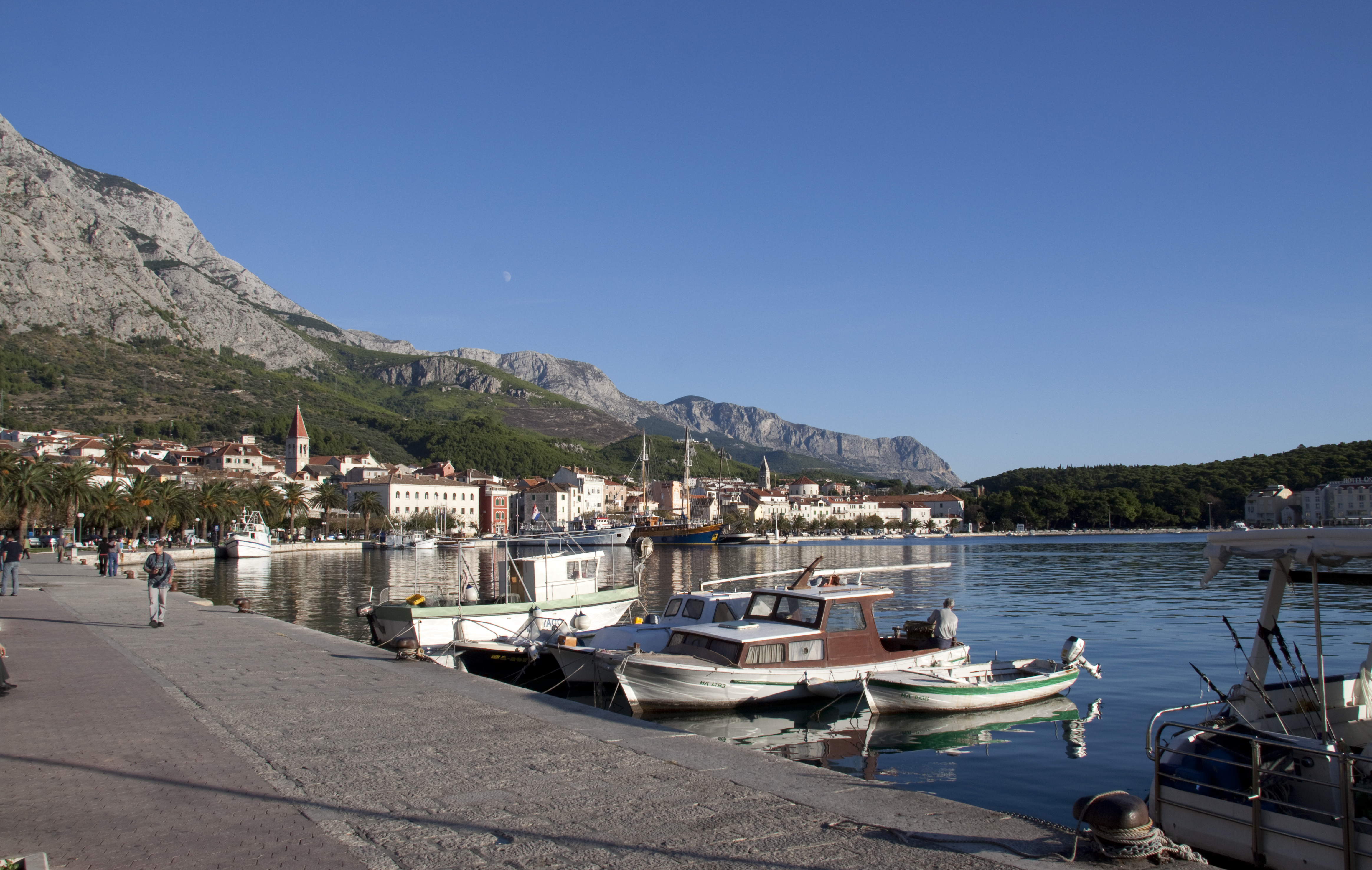
 Makarska
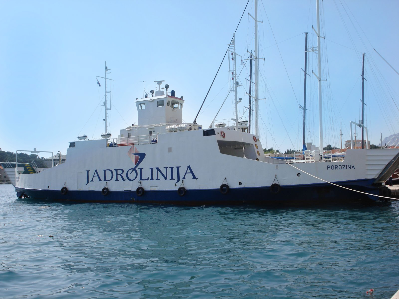
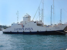 Makarska-Sumartin ferry in Makarska
D411 branches off to the south from D8 in Makarska towards Makarska ferry port - ferry access to Sumartin on Brač Island. The road is 1.5 km (0.93 mi) long.[1]
The road, as well as all other state roads in Croatia, is managed and maintained by Hrvatske ceste, state owned company.[2]
Contents
Traffic volume
Traffic is not regularly counted on the road, however, Hrvatske ceste report number of vehicles using Makarska-Sumartin ferry line, connecting D411 to the D113 state road.[3] Furthermore the D411 road carries considerable local traffic in Makarska itself, which does not use the ferry at all, greatly exceeding the ferried traffic. Substantial variations between annual (AADT) and summer (ASDT) traffic volumes are attributed to the fact that the road connects to a number of summer resorts.
D411 traffic volume Road Counting site AADT ASDT Notes  D411
D411638 Makarska-Sumartin 74 220 Vehicles using Makarska-Sumartin ferry line. Road junctions and populated areas
D411 junctions/populated areas Type Slip roads/Notes 
Makarska
D8 to Split (to the north) and Ploče (to the south). Northern terminus of the road.
Makarska ferry port - ferry access[4] to Sumartin on Brač Island (D113). Southern terminus of the road. See also
- State roads in Croatia
- Hrvatske ceste
- Jadrolinija
Sources
- ^ "Decision on categorization of public roads as state roads, county roads and local roads" (in Croatian). Narodne novine. February 17, 2010. http://narodne-novine.nn.hr/clanci/sluzbeni/2010_02_17_410.html.
- ^ "Public Roads Act" (in Croatian). Narodne novine. December 14, 2004. http://narodne-novine.nn.hr/clanci/sluzbeni/2004_12_180_3130.html.
- ^ "Traffic counting on the roadways of Croatia in 2009 - digest" (in English). Hrvatske ceste. May 1, 2010. http://www.hrvatske-ceste.hr/WEB%20-%20Legislativa/brojenje-prometa/CroDig2009.pdf.
- ^ "Jadolinija ferry service" (in English). May 11, 2010. http://www.jadrolinija.hr/default.aspx?lang=2.
Categories:- State roads in Croatia
- Split-Dalmatia County

Wikimedia Foundation. 2010.