- D110 road (Croatia)
-
D110 state road
Route information Length: 41.6 km (25.8 mi) Major junctions From:  Tkon ferry port
To: Muline ferry portLocation Counties: Zadar Major cities: Preko, Ugljan Highway system State roads in Croatia
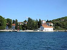 Lukoran, next to the D110 road route
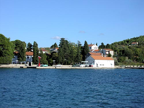
 Tkon, at the eastern terminus the D110 road
D110 is the main state road on the islands of Pašman and Ugljan in Croatia, connecting the towns of Preko and Tkon. From these two towns Jadrolinija ferries cross to the mainland, docking in Zadar and joining the D407 state road (from Preko) and Biograd na Moru and the D503 state road (from Tkon).[1] The road is 41.6 km (25.8 mi) long.[2] The two islands are connected via the Ždrelac Bridge, spanning Mali Ždrelac strait.[3][4]
The road, as well as all other state roads in Croatia, is managed and maintained by Hrvatske ceste, a state-owned company.[5]
Contents
Traffic volume
Traffic is regularly counted and reported by Hrvatske ceste (HC), operator of the road. Furthermore, the HC reports the number of vehicles using the Split – Supetar and Makarska – Sumartin ferry lines, connecting the D113 road to the D410 and the D411 state roads.[6] Substantial variations between annual (AADT) and summer (ASDT) traffic volumes are attributed to the fact that the road connects a number of island resorts.
D110 traffic volume Road Counting site AADT ASDT Notes  D110
D1104815 Kukljica 1,340 2,682 Adjacent to the L63171 junction. Road junctions and populated areas
D110 junctions/populated areas Type Slip roads/Notes 
Tkon ferry port – access to the mainland port of Biograd na Moru (by Jadrolinija)[1] and D503 to Biograd na Moru and the A1 motorway Biograd na Moru interchange (via the D27).[7]
The eastern terminus of the road.
Tkon
Ž6249 to Sovinje.
Ž6249 to Čokovac Dicmo Ž6062 to Pašman. The road loops to the town and back to the D110 forming a total of two intersections with the latter. Ž6062 to Pašman. The road loops to the town and back to the D110 forming a total of two intersections with the latter. Mrljane Neviđane Dobropoljana Banj Ždrelac 
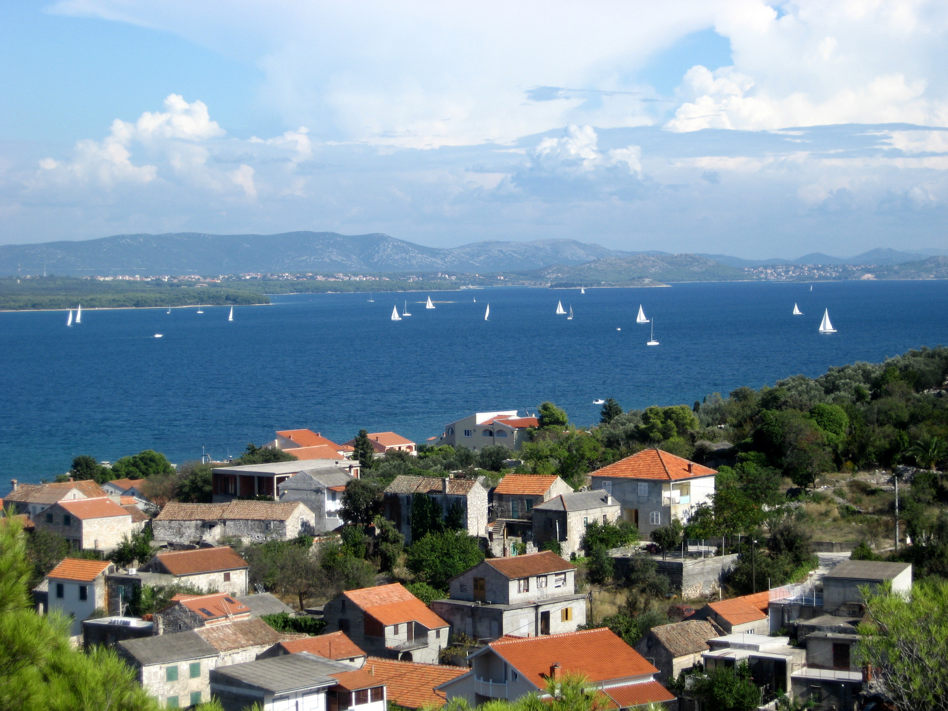
Ždrelac Bridge
The bridge is 210 m (690 ft) long.L63171 to Kukljica. Kali
Preko
Preko ferry port – access to the mainland port of Zadar (by Jadrolinija)[1] and the D407 to Zadar city centre and the A1 motorway Zadar 1 and 2 interchanges (via the D8).[7] The ferry port is accessed via an interchange in the town and a short connector road.Sutomišćica Ž6245 to Lukoran. Ugljan Muline ferry port.
The western terminus of the road.Sources
- ^ a b c "Jadrolinija ferry service" (in English). May 11, 2010. http://www.jadrolinija.hr/default.aspx?lang=2.
- ^ "Decision on categorization of public roads as state roads, county roads and local roads" (in Croatian). Narodne novine. February 17, 2010. http://narodne-novine.nn.hr/clanci/sluzbeni/2010_02_17_410.html.
- ^ "Pašman-Ugljan Bridge ahead of schedule" (in Croatian). Zadarski list. April 3, 2009. http://www.zadarskilist.hr/clanci/03042009/most-pasman-ugljan-i-prije-zadanog-roka.
- ^ "Ždrelac Bridge reconnects Ugljan and Pašman" (in Croatian). Slobodna Dalmacija. June 24, 2009. http://www.slobodnadalmacija.hr/Zadar/tabid/73/articleType/ArticleView/articleId/59305/Default.aspx.
- ^ "Public Roads Act" (in Croatian). Narodne novine. December 14, 2004. http://narodne-novine.nn.hr/clanci/sluzbeni/2004_12_180_3130.html.
- ^ "Traffic counting on the roadways of Croatia in 2009 – digest" (in English). Hrvatske ceste. May 1, 2010. http://www.hrvatske-ceste.hr/WEB%20-%20Legislativa/brojenje-prometa/CroDig2009.pdf.
- ^ a b "Regulation on motorway markings, chainage, interchange/exit/rest area numbers and names" (in Croatian). Narodne novine. May 6, 2003. http://narodne-novine.nn.hr/clanci/sluzbeni/305463.html.
See also
- State roads in Croatia
- Hrvatske ceste
- Jadrolinija
Categories:- State roads in Croatia
- Zadar County

Wikimedia Foundation. 2010.