- D111 road (Croatia)
-
D111 state road
Route information Length: 17.8 km (11.1 mi) Major junctions From: Maslinica  D112 in Grohote
To: Stomorska Location Counties: Split-Dalmatia Highway system State roads in Croatia
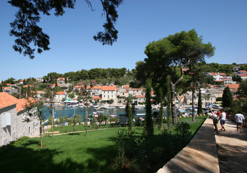
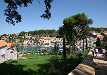 Maslinica, at the western terminus the D111 road
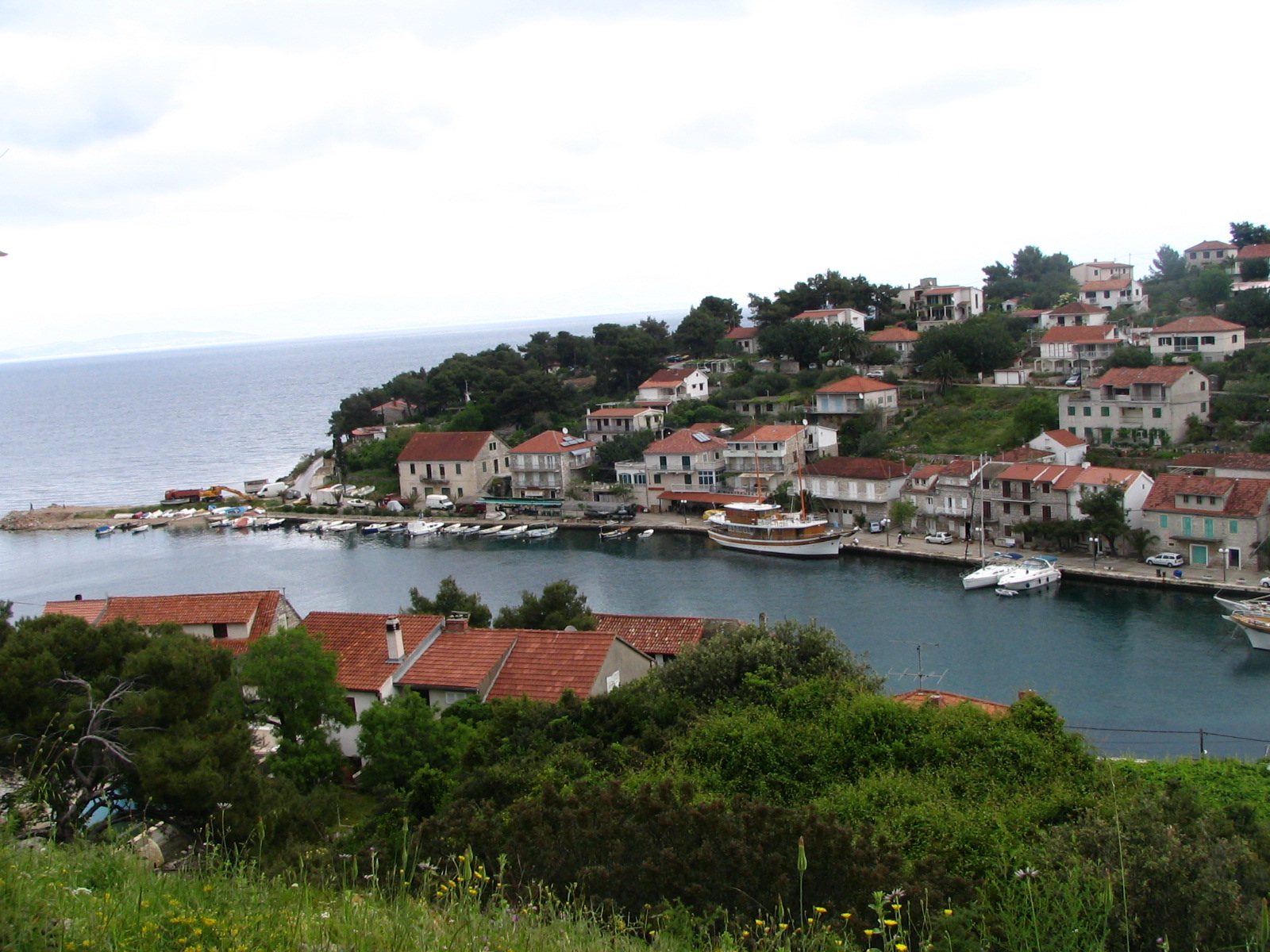
 Stomorska, at the eastern terminus the D111 road
D111 is the main state road on the island of Šolta in Croatia connecting ferry port of Rogač (via the D112), from where Jadrolinija ferries fly to the mainland, docking in Split[1] and the D410 state road to Maslinica, Stomorska and to Nečujam (via Ž6158). The road is 17.8 km (11.1 mi) long.[2]
The road, as well as all other state roads in Croatia, is managed and maintained by Hrvatske ceste, a state-owned company.[3]
Road junctions and populated areas
D111 junctions/populated areas Type Slip roads/Notes 
Maslinica
The western terminus of the road.Grohote
D112 to Rogač and Rogač ferry port – access to the mainland port of Split (by Jadrolinija)[1] and the D410 state road to Split and A1 motorway Dugopolje interchange.[4]
Ž6158 to Nečujam Gornje Selo Stomorska
The eastern terminus of the road.Sources
- ^ a b "Jadrolinija ferry service". May 11, 2010. http://www.jadrolinija.hr/default.aspx?lang=2.
- ^ "Decision on categorization of public roads as state roads, county roads and local roads" (in Croatian). Narodne novine. February 17, 2010. http://narodne-novine.nn.hr/clanci/sluzbeni/2010_02_17_410.html.
- ^ "Public Roads Act" (in Croatian). Narodne novine. December 14, 2004. http://narodne-novine.nn.hr/clanci/sluzbeni/2004_12_180_3130.html.
- ^ "Regulation on motorway markings, chainage, interchange/exit/rest area numbers and names" (in Croatian). Narodne novine. May 6, 2003. http://narodne-novine.nn.hr/clanci/sluzbeni/305463.html.
See also
- State roads in Croatia
- Hrvatske ceste
- Jadrolinija
Categories:- State roads in Croatia
- Split-Dalmatia County

Wikimedia Foundation. 2010.