- D407 road (Croatia)
-
D407 state road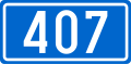
Route information Length: 3.8 km (2.4 mi) Major junctions From:  D8 in Zadar
To: Zadar ferry port Location Counties: Zadar Major cities: Zadar Highway system State roads in Croatia
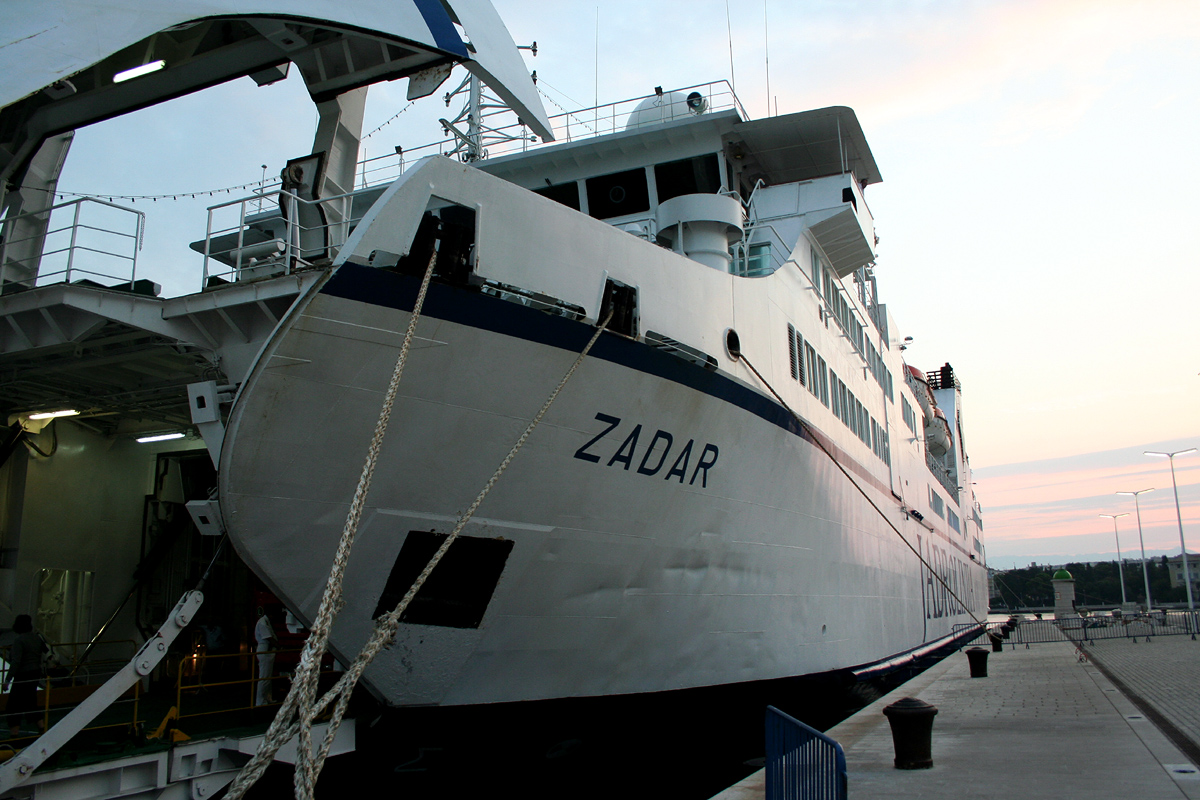
 Zadar ferry port
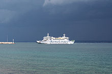 Zadar-Preko ferry
 A ferry embarking vehicles and passengers in the port
D407 branches off to the southwest from D8 in Zadar towards Zadar ferry port - ferry access to Preko, Ugljan Island (D110), Brbinj and Sali, Dugi otok (D124), as well as Ancona, Italy.[1] The road is 3.8 km (2.4 mi) long.[2]
The road, as well as all other state roads in Croatia, is managed and maintained by Hrvatske ceste, state owned company.[3]
Contents
Traffic volume
D407 traffic is not counted directly, however Hrvatske ceste, operator of the road reports number of vehicles using ferry service flying from Zadar port, accessed by the D407 road, thereby allowing the D407 traffic volume to be deduced.[4] Substantial variations between annual (AADT) and summer (ASDT) traffic volumes are attributed to the fact that the road serves as a connection carrying substantial tourist traffic to Zadar area islands, while the D8 state road provides quick access to A1 motorway Zadar 1 and Zadar 2 interchanges, either directly, or via D424 state road.[5]
D407 traffic volume Road Counting site AADT ASDT Notes  D407
D407401 Zadar-Silba-Mali Lošinj 18 51 Traffic to the islands of Silba and Lošinj only. D407433 Zadar-Sestrunj-Molat 13 26 Traffic to islands of Sestrunj and Molat only. D407434 Zadar-Brbinj 135 317 Traffic to Dugi otok only. D407431 Zadar-Preko 713 1,314 Traffic to Ugljan Island only. D407435 Zadar-Iž-Rava 28 58 Traffic to Ugljan Island only. D40751 Zadar-Ancona 51 51* Traffic to Ancona, Italy only.[6] D407Zadar ferry port (total) 958 1,817 Total D407 traffic volume in Zadar ferry port. * There are no ASDT figures available for Zadar-Ancona line. AADT figure is used instead. Road junctions and populated areas
D407 junctions/populated areas Type Slip roads/Notes 
Zadar
D8 to Rijeka and Maslenica (to the north) and Šibenik and A1 motorway connection road (to the south). Eastern terminus of the road.
Zadar ferry port - ferry access[7] to Preko, Ugljan Island (D110), Brbinj and Sali, Dugi otok (D124), Mali Lošinj (D100) as well as to Iž, Rava, Molat, Sestrunj, Zverinac, Ist, Silba, Olib and Premuda. Western terminus of the road. Sources
- ^ "Most passengers ferried between Zadar and Preko" (in Croatian). Zadarski list. June 14, 2010. http://www.zadarskilist.hr/clanci/18022010/najvise-putnika-prevezeno-na-relaciji-zadar-preko.
- ^ "Decision on categorization of public roads as state roads, county roads and local roads" (in Croatian). Narodne novine. February 17, 2010. http://narodne-novine.nn.hr/clanci/sluzbeni/2010_02_17_410.html.
- ^ "Public Roads Act" (in Croatian). Narodne novine. December 14, 2004. http://narodne-novine.nn.hr/clanci/sluzbeni/2004_12_180_3130.html.
- ^ "Traffic counting on the roadways of Croatia in 2009 - digest" (in English). Hrvatske ceste. May 1, 2010. http://www.hrvatske-ceste.hr/WEB%20-%20Legislativa/brojenje-prometa/CroDig2009.pdf.
- ^ "Regulation on motorway markings, chainage, interchange/exit/rest area numbers and names" (in Croatian). Narodne novine. May 6, 2003. http://narodne-novine.nn.hr/clanci/sluzbeni/305463.html.
- ^ "More moderate sea transport in 2009" (in Croatian). Agencija za obalni linijski promet. February 16, 2010. http://www.agencija-zolpp.hr/tabid/1534/articleType/ArticleView/articleId/866/SKROMNIJI-PROMET-MOREM-U-2009.aspx.
- ^ "Jadolinija ferry service" (in English). May 11, 2010. http://www.jadrolinija.hr/default.aspx?lang=2.
See also
- State roads in Croatia
- Hrvatske ceste
- Jadrolinija
Categories:- State roads in Croatia
- Zadar County


Wikimedia Foundation. 2010.