- D402 road (Croatia)
-
D402 state road
Route information Length: 3.2 km (2.0 mi) Major junctions From:  D66 near Zagore
To: Brestova ferry port Location Counties: Istria Highway system State roads in Croatia
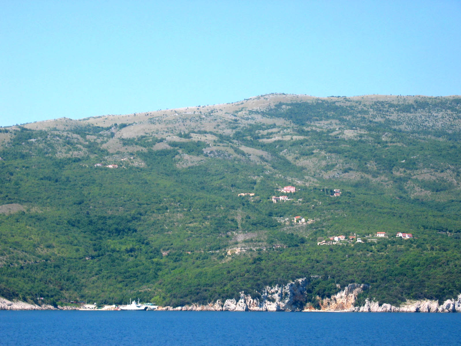
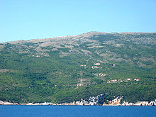 Brestova ferry port
D402 is a state road connecting D66 state road to Brestova ferry port, from where ferries fly to Porozina, Cres and D100 state road. The road is 3.2 km long.[1]
The road, as well as all other state roads in Croatia, is managed and maintained by Hrvatske ceste, state owned company.[2]
Contents
Traffic volume
There are no official published data on volume of traffic carried by the D402 road, however, Hrvatske ceste, the operator of the road, publishes information on average annual daily traffic (AADT) and average summer daily traffic (ASDT) carried by Brestova - Porozina ferry line, connecting D402 and D100 state roads.[3] It may be safely concluded that traffic carried by D402 at least matches those figures.
D402 volume of traffic Road Counting site AADT ASDT Notes  D402
D402Brestova ferry port 725 2,052 Number of vehicles using Brestova-Porozina ferry line (number 334), published by Hrvatske Ceste. Road junctions and populated areas
D402 junctions Type Slip roads/Notes  D66 to Rijeka, Matulji and A8 motorway (to the north) and Pula (to the south). Western terminus of the road.
Brestova ferry port - ferry access to Porozina, island of Cres[4] (D100). Eastern terminus of the road. See also
- State roads in Croatia
- Hrvatske ceste
Sources
- ^ "Decision on categorization of public roads as state roads, county roads and local roads" (in Croatian). Narodne novine. February 17, 2010. http://narodne-novine.nn.hr/clanci/sluzbeni/2010_02_17_410.html.
- ^ "Public Roads Act" (in Croatian). Narodne novine. December 14, 2004. http://narodne-novine.nn.hr/clanci/sluzbeni/2004_12_180_3130.html.
- ^ "Traffic counting on the roadways of Croatia in 2009 - digest". Hrvatske ceste. May 1, 2010. http://www.hrvatske-ceste.hr/WEB%20-%20Legislativa/brojenje-prometa/CroDig2009.pdf.
- ^ "Jadolinija ferry service". May 11, 2010. http://www.jadrolinija.hr/default.aspx?lang=2.
Categories:- State roads in Croatia
- Istria County

Wikimedia Foundation. 2010.