- D307 road (Croatia)
-
D307 state road
Route information Length: 23.8 km (14.8 mi) Major junctions From:  D1 and
 D205 in Gubaševo
 A2 in Zabok interchange
To:  D29 in Marija Bistrica
Location Counties: Krapina-Zagorje Major cities: Oroslavje, Marija Bistrica Highway system State roads in Croatia
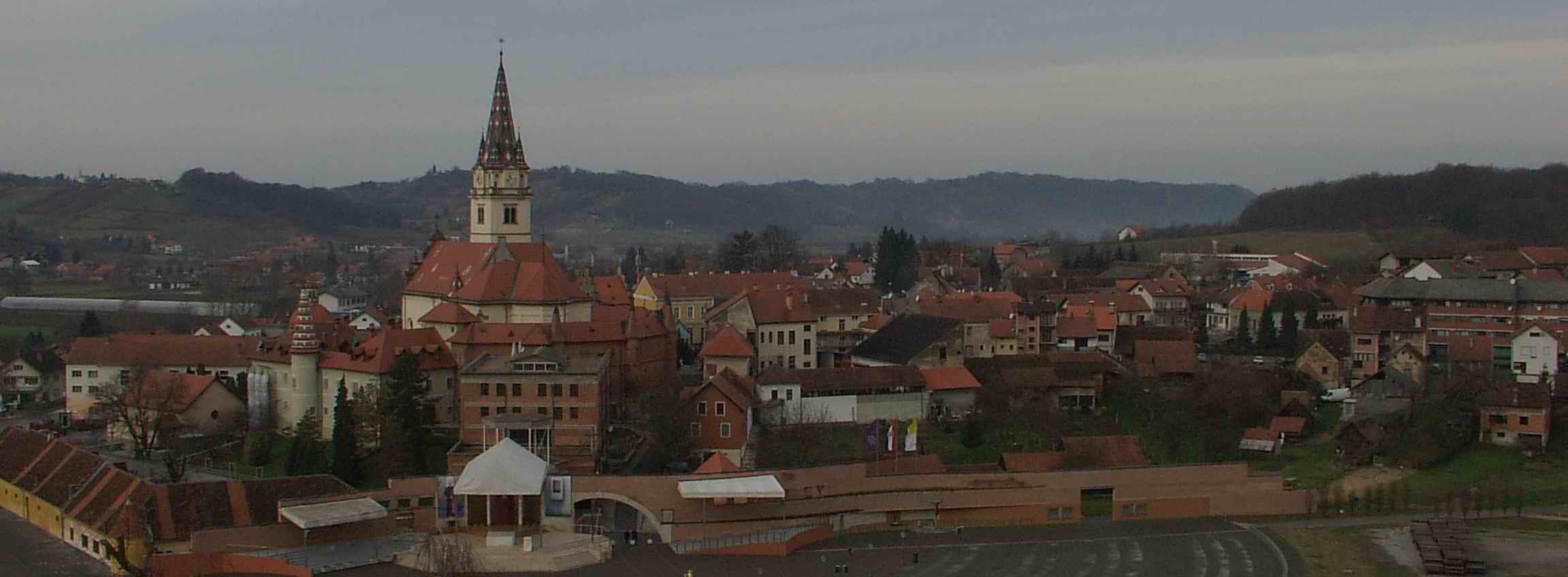
 Marija Bistrica, at the eastern terminus of the D307 road
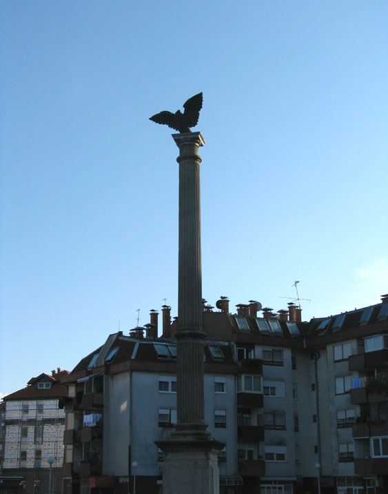
 Oroslavje, on the D307 road route
D307 is a state road in Hrvatsko Zagorje region of Croatia connecting Oroslavje and Donja Stubica to the A2 motorway in Zabok interchange.[1] The road is 23.8 km (14.8 mi) long.[2]
The road, as well as all other state roads in Croatia, is managed and maintained by Hrvatske ceste, state owned company.[3]
Contents
Traffic volume
Traffic is regularly counted and reported by Hrvatske ceste, operator of the road.[4]
D307 traffic volume Road Counting site AADT ASDT Notes  D307
D3071901 Stubičke Toplice 8,047 8,216 Adjacent to the Ž2200 junction. Road junctions and populated areas
D307 junctions/populated areas Type Slip roads/Notes 
Gubaševo
D1 to Zabok and Sveti Križ Začretje (to the north) and to Zaprešić via D225 state road (to the south).
D205 to Klanjec and Kumrovec.
The western terminus of the road. A2 in Zabok interchange to Krapina (to the north) and to the A3 motorway Jankomir interchange and Zagreb (to the south).
Mokrice Oroslavje
Ž2197 to Hum Zabočki (D24).Stubičke Toplice
Ž2219 to Pila.Donja Stubica
Ž2198 to Lepa Ves and Bedekovčina (D24).
Ž2200 to Hruševec.Gornja Stubica
Ž2224 to Sveti Matej.Samci
Ž2223 to Modrovec.Banšćica
Ž2201 to Dubovec and Selnica.Gusakovec Marija Bistrica
D29 to Zlatar Bistrica and Soblinec (D3).
The eastern terminus of the road.See also
- State roads in Croatia
- Hrvatske ceste
Sources
- ^ "Regulation on motorway markings, chainage, interchange/exit/rest area numbers and names" (in Croatian). Narodne novine. April 24, 2003. http://www.mmpi.hr/UserDocsImages/nn-73-03-Pravilnik-oznacav-ac.htm.
- ^ "Decision on categorization of public roads as state roads, county roads and local roads" (in Croatian). Narodne novine. February 17, 2010. http://narodne-novine.nn.hr/clanci/sluzbeni/2010_02_17_410.html.
- ^ "Public Roads Act" (in Croatian). Narodne novine. December 14, 2004. http://narodne-novine.nn.hr/clanci/sluzbeni/2004_12_180_3130.html.
- ^ "Traffic counting on the roadways of Croatia in 2009 - digest" (in English). Hrvatske ceste. May 1, 2010. http://www.hrvatske-ceste.hr/WEB%20-%20Legislativa/brojenje-prometa/CroDig2009.pdf.
Categories:- State roads in Croatia
- Krapina-Zagorje County

Wikimedia Foundation. 2010.