- Cumbres del Ajusco National Park
-
Cumbres del Ajusco National Park IUCN Category II (National Park)
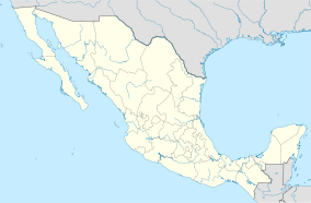
Location Tlalpan / Magdalena Contreras, Mexico City, Mexico Coordinates 19°15′12″N 99°19′51″W / 19.25333°N 99.33083°WCoordinates: 19°15′12″N 99°19′51″W / 19.25333°N 99.33083°W Area 920 hectares (2,300 acres) Established May 23, 1936 [1] Governing body Secretariat of the Environment and Natural Resources Cumbres del Ajusco National Park is one of many national parks near Mexico City, DF. The Ajusco is known for its high elevations reaching 3,900 meters (12,795 ft) above sea level and is visible from any part of Mexico city. The park is characterized by pine-oak forests and high mountain grassland. Cumbres del Ajusco means "watered grove peaks", an appropriate name for this mountainous region covered with lush green forest with many flowers due to a fair amount of precipitation. The Balsas and Lerma rivers begin in the heart of the Cumbres del Ajusco.
This range accounts for approximately half of the area of the Mexican Federal District, the rest of which is occupied by Mexico City. The area is key to the conservation of the ecosystem important to endemic species. Urbanization of Mexico city has posed several environmental concerns over the preservation of the habitats and ecosystems of the park.
Contents
History
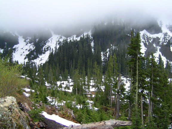
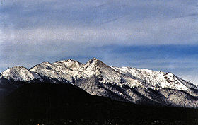 View of the Cumbres del Ajusco from Mexico City
The Cumbres del Ajusco has attracted humans since approximately 1200 BC; Otomíes are thought to have been the first to inhabit the Ajusco area. During the pre-Columbian Era, an area now known as Tlalpan was inhabited by natives known as Tepanecas along the San Buenaventura River.
During the 17th century, the Viceroyalty of New Spain made it a state policy to find all rural indigenous populations living in the mountainous areas of the Cumbres del Ajusco., and resettle them in a smaller area so that they could be converted to Christianity. Today there still remains many old Spanish missions and churches along the edge of the Cumbres del Ajusco.[2]
Cumbres del Ajusco National Park was created by decree on September 23, 1936 by the Mexican federal government. The park was later expanded to its current state of 920 hectares (3.6 sq mi) on May 19, 1947.[3]
Geography
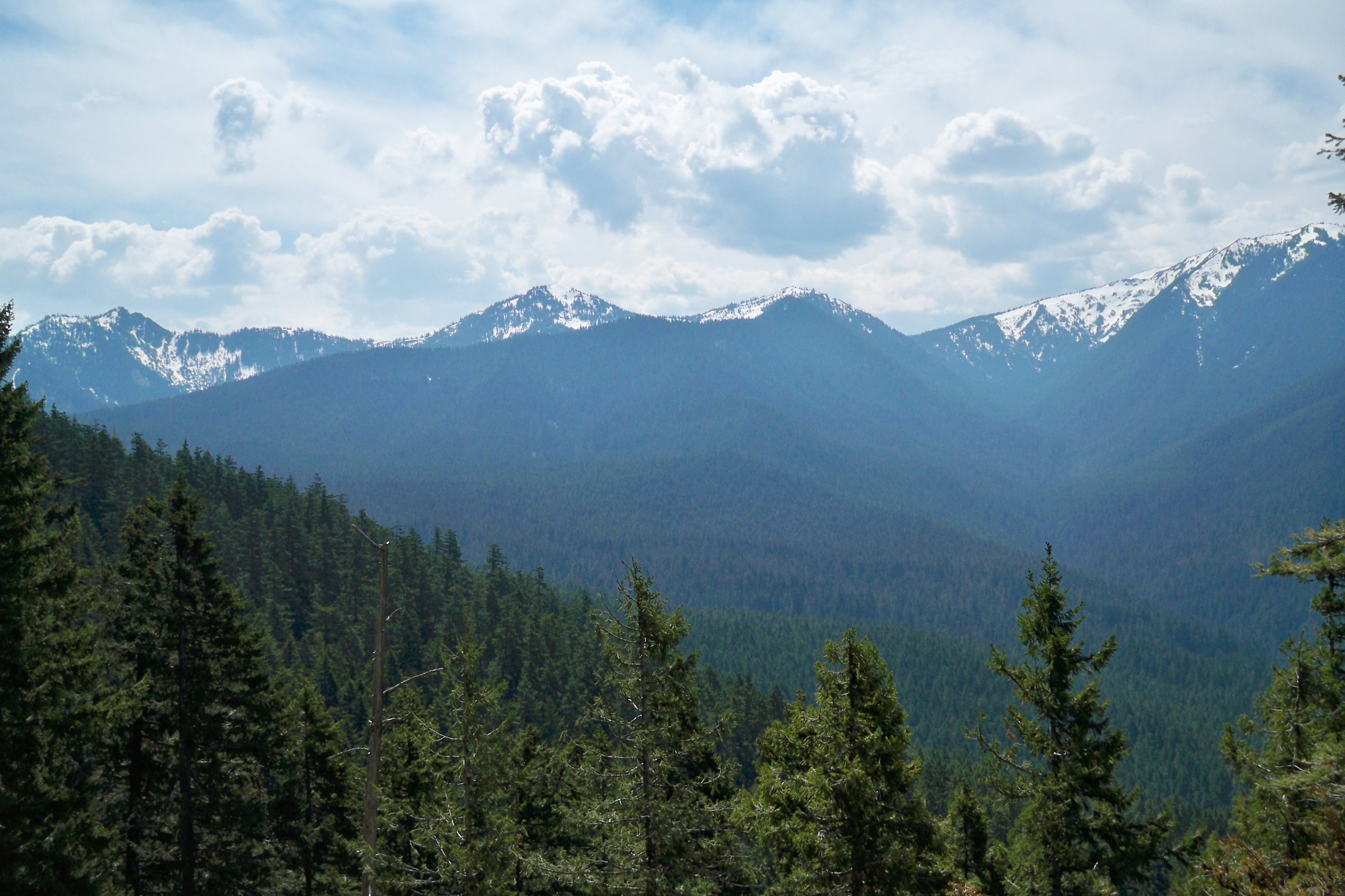
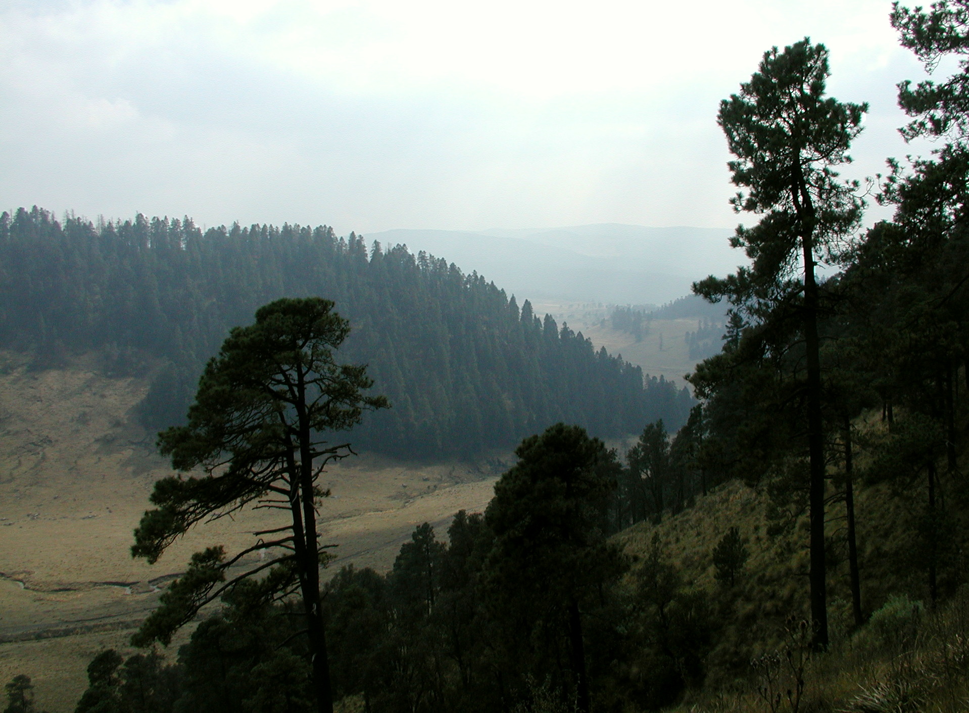
 Winter in the Cumbres del Ajusco
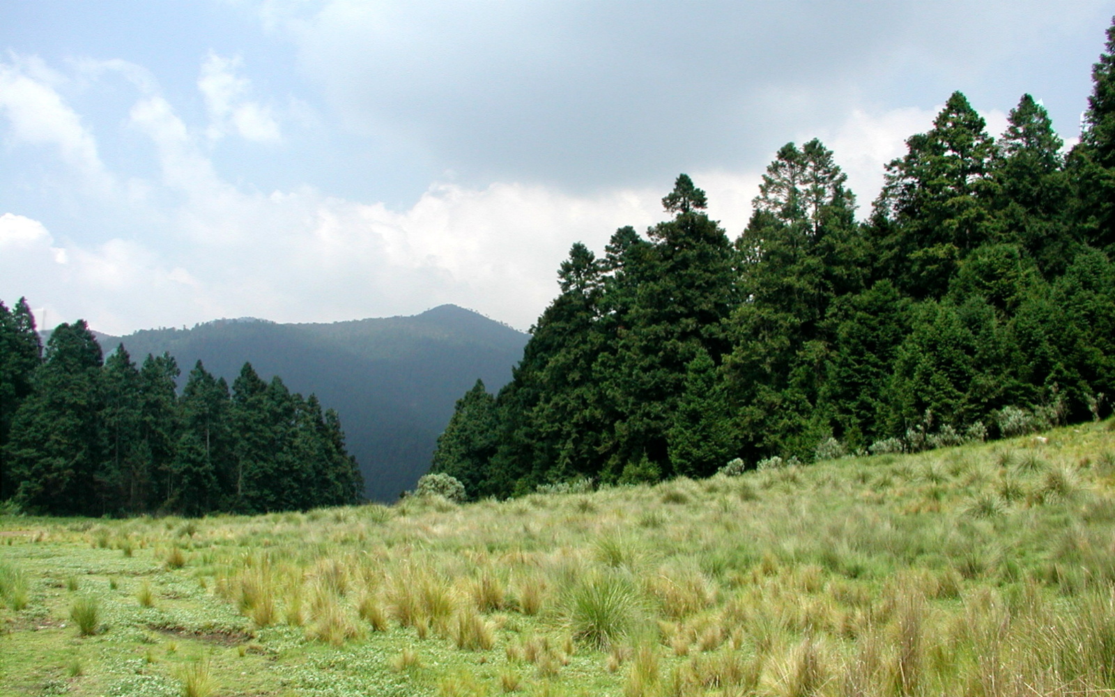
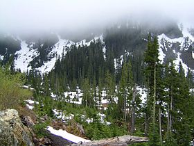 Vegetation observed throughout the Ajusco
Cumbres del Ajusco National Park is one of many national parks near Mexico City, DF. The park is known for its high elevations reaching 3,900 meters (12,795 ft) above sea level which are part of the Sierra de Ajusco-Chichinauhtzin mountain range. All of the mountain systems in the area are part of the Cordillera Neovolcanica that crosses the center part of Mexico. Cerro La Cruz del Marqués towers 1,400 meters (4,600 ft) above Mexico City and is the highest peak within the park reaching 3,930 meters above sea level.[4]
The Highest Peaks in the Cumbres del Ajusco National Park
- Cruz del Marqués: 3,930 m (12,795 ft) above sea level
- Pico del Águila: 3,880 m (12,730 ft) above sea level
- Santo Tomás: 3,710 m (12,172 ft) above sea level
- Mezontepec: 3,480 m (11,417 ft) above sea level
The park also includes part of the Valley of Mexico bordering the Tlalpan borough of Mexico City. The park is characterized by pine-oak forests and high mountain grassland. Cumbres del Ajusco means "watered grove peaks", an appropriate name for this mountainous region covered with lush green forest with many flowers due to a fair amount of precipitation. The Balsas River and Lerma River begin in the heart of the Cumbres del Ajusco.
The mountains are constituted of perforated volcanic rock inhibiting surface rivers to form, but there are many subterranean rivers that feed fresh water springs in the lower areas of the park and in the surrounding valleys. The best known springs are Xochimilco Springs, Nativitas Springs, and Las Fuentes Brotantes. Xochimilco Springs are important water source for Mexico City. The Sierra de Ajusco-Chichinauhtzin is part a mountainous forest area known as the Gran Bosque de Agua (Great Water Forest) because it meets the demands of one of the largest population centers in the world located in Central Mexico.
Climate
There are three different climate zones in the park according to Köppen climate classification: Cfb subtropical highland with a summer wet season and a winter dry season occurring at elevations under , Cfc subtropical highland all year wet season, and ET polar tundra. Cfb subtropical highland occurs in elevations under 2,000 meters (6,560 ft). Cfc subtropical highland occurs at elevations between 2,000 meters and 3,000 meters (6,650-9,850 ft). ET Polar Tundra is found at elevations of 3,000 meters (9,850 ft) or higher. ET Polar Tundra continues to increase in area due to deforestation. Average annual temperature of the Ajusco is 13 °C (55 °F) with extreme temperatures rising to 26 °C (78 °F) in lower elevations and falling to -3 °C (26 °F) in elevations higher than 3, 000 metros (9,850 ft).
Flora and fauna
 Pinus hartwegii one of the many coniferous species in the Ajusco
 Abies religiosa sacred tree in the mountainous forest of Mexico.
Even though the park is considered an area in jeopardy of being negatively affected by urban expansion, the Cumbres del Ajusco has a great diversity of flora and fauna endemic to Cordillera Neovolcanica that goes through the center of Mexico. The park consists primarily of various species of trees from the following families: pinus, abies, quercus, juniperus, and arbutus. Throughout the park the fauna changes due to various physical geographic features like: elevation, steep slopes (with differences in facing direction), canyons, and valleys.
Abies religiosa, locally known as Oyamel from náhuatl origin, is one of the many abies species located in the park. At altitudes between 2,700 and 3,500 meters (8,850-11,480 ft) above sea level, abies are the most abundant; abies grow most proficiently in rich organic soils with abundant moisture all year. The pine forests are most common at elevations between 2,350 to 4,000 meters (7,700 to 12,700 ft); the most common pinus species are: pinus leiophylla, pinus montezumae, pinus rudis, pinus teocote, and pinus hartwegii. Pinus hartwegii is one of the pinus species that have become endangered.
The following oak species are the most common in the park: quercus rugosa, quercus laeta, quercus laurina, quercus deserticola, and quercus crassipes. Junipers can be found in open species in gentle slopes and lower elevations like in some valleys.
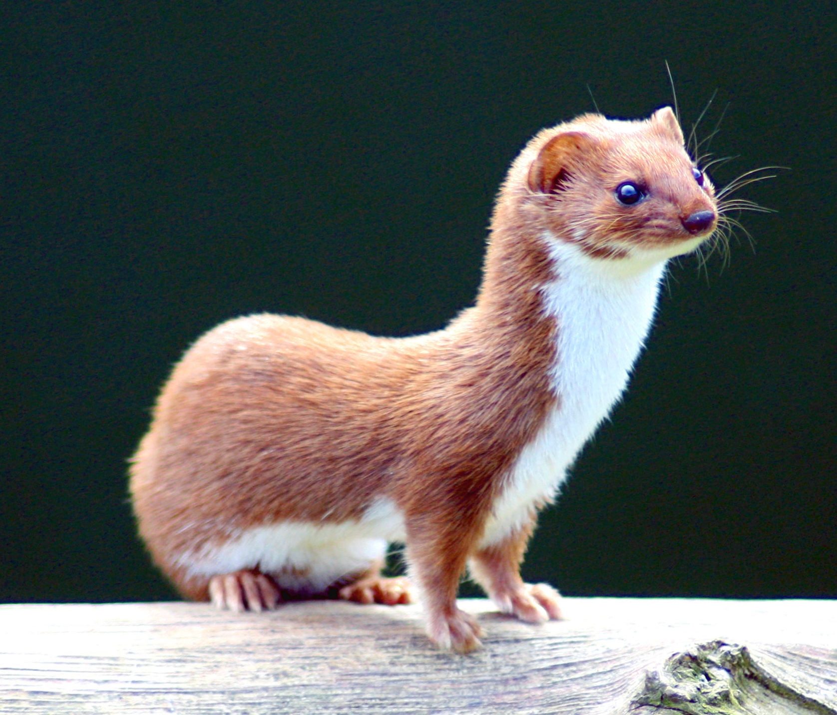
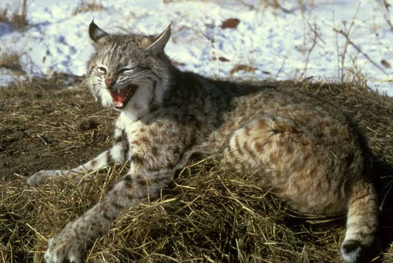
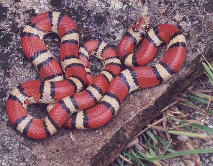
The park's fauna consists of many mammals like: Bats, Shrew, Opossum, Volcano Rabbit, Squirrel, Least Weasel, Skunk, Coyote, and Bobcat. There are three common snake species in the park: Milk Snake, Rattlesnake, and Plain-bellied Water Snake.
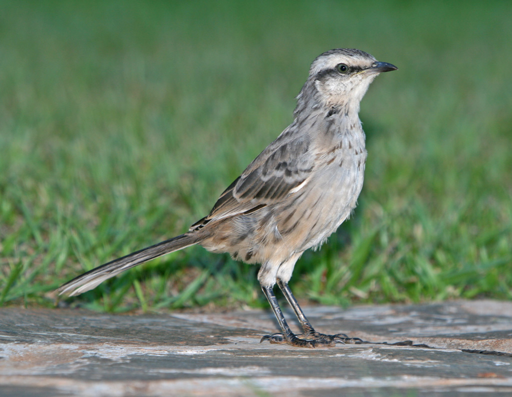
The bird species in the park sometimes have been known to feed in the Mexico City metropolitan area due to its proximity to the park. The main bird species observed in the park are: House Sparrow, Barn Swallow, Lark, Chalk-browed Mockingbird, Woodpecker, Goldcrest, Blue Jay, Black Vulture, and Golden Eagle.
References
- ^ http://www.conanp.gob.mx/sig/decretos/parques/Modif-Ajusco.pdf
- ^ http://www.mexicodesconocido.com.mx/contenidos/Naturaleza.html?p=nota&idNota=1295
- ^ http://www.conanp.gob.mx/sig/decretos/parques/Modif-Ajusco.pdf Decreto de la reducción de la superficie del parque nacional "Cumbres del Ajusco", en formato PDF.
- ^ "Cerro Ajusco, Mexico". Peakbagger.com. http://www.peakbagger.com/peak.aspx?pid=8027.
External links
- Revista Chapingo. Ecología de la fauna silvestre de la Sierra Nevada y la Sierra del Ajusco.. Consultado el 18 de agosto de 2008.
- Reseña, descrioción y estado del parque por la acividad humana en la página de Planeta.com. Consultado el 18 de agosto de 2008.
- Ficha técnica del parque en la red escolar ILCE. Consultado el 20 de agosto de 2008.
- Reportaje en la página de Internet la revista México Desconocido sobre la práctica del descenso en bicicleta de montaña. Consultado el 20 de agosto de 2008.
Categories:- IUCN Category II
- National parks of Mexico
- Parks in Mexico City
- Forests of Mexico
- Grasslands of Mexico
- Trans-Mexican Volcanic Belt
- Biosphere reserves of Mexico


Wikimedia Foundation. 2010.