- Coven, Staffordshire
-
Coordinates: 52°39′N 2°08′W / 52.65°N 2.14°W
Coven 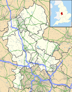
 Coven
Coven
Coven shown within StaffordshireOS grid reference SJ900060 District South Staffordshire Shire county Staffordshire Region West Midlands Country England Sovereign state United Kingdom Postcode district WV9 Police Staffordshire Fire Staffordshire Ambulance West Midlands EU Parliament West Midlands List of places: UK • England • Staffordshire Coven is a small village in the district of South Staffordshire, England, near to the border with Wolverhampton. Together with Brewood it forms part of the parish of Brewood & Coven.[1]
Contents
Etymology
Coven derives from the Anglo-Saxon cofum, the dative plural of cofa, which means either 'a cove' or 'a hut'.[2]
History
The first record of Coven (as Cove) is in the Domesday Book (1086); when it was listed as being held by William de Stafford. Prior to the Norman Conquest it was held by the Saxon ceorl Alric.[3]
Communications
The village is located on the A449, and is also served by the Staffordshire and Worcestershire Canal.
References
- ^ Brewood & Coven Parish Council. "Coven village web site". Brewood & Coven Community Web. http://home.btconnect.com/brewoodparish/coven/index.htm.
- ^ Poulton-Smith, Anthony (1995). Staffordshire Place-Names (including The Black Country). Berkshire: Countryside. p. 38.
- ^ White, Kevan. "Coven History". roman-britain.org. http://www.roman-britain.org/chase/places/coven.htm.
Categories:- Villages in Staffordshire
- South Staffordshire
- Places in Staffordshire listed in the Domesday Book

Wikimedia Foundation. 2010.