- County of March
-
March
Queensland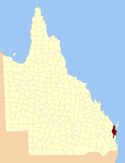
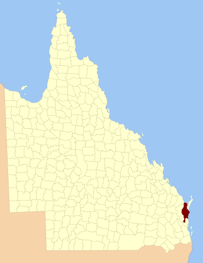
Location within QueenslandLands administrative divisions around March Cook Coral Sea Coral Sea Lennox March Fraser Canning Canning Coral Sea The County of March is a county in Queensland, Australia. Like all counties in Queensland, it is a non-functional administrative unit, that is used mainly for the purpose of registering land titles.
The county consists of the Noosa area, plus the eastern parts of the Gympie and Fraser Coast regions, as well as Fraser Island.[1]
The county was named by the Surveyor-General of New South Wales in 1848 in honour of a medical practitioner based in the area. The area was officially named and bounded by the Governor in Council on 7 March 1901 under the Land Act 1897.[2]
Parishes
March is divided into parishes, as listed below:
References
- ^ Wide Bay/Burnett District, County of March Maps - D8 Series at Queensland Archives.
- ^ Department of Environment and Resource Management. "Place name details — March". http://www.derm.qld.gov.au/property/placenames/details.php?id=20922. Retrieved 4 June 2011.
Coordinates: 25°32′S 152°42′E / 25.533°S 152.7°E
Categories:- Counties of Queensland
- Queensland geography stubs
Wikimedia Foundation. 2010.