- Clevens Loch, Ayrshire
-
Clevens Loch was a substantial freshwater loch situated in a low lying area below Clevance Farm and Langholm Farm in Dundonald parish, South Ayrshire, Scotland.
Clevens Loch 
The site of Clevens Loch Location Dundonald, South Ayrshire, Scotland Coordinates Coordinates: 55°33′14.9″N 4°35′37.2″W / 55.554139°N 4.593667°W Lake type Old freshwater loch Primary inflows Rumbling Burn Primary outflows Cross Burn Basin countries Scotland Average depth Shallow Islands None Contents
History
The loch was a natural feature, a post-glacial 'Kettle Hole' once of a substantial extent, fed mainly by the Rumbling Burn, rainfall, field drainage, and natural springs. It is recorded in the placename of Langholm and clevance. The etymology of the name may derive from the Scots for 'spear-shaped hill' referring to the shape of the glen and hills surrounding it.[1] The Rumbling Burn has been diverted away from the site. The loch site still floods in winter. An outflow runs down to the Cross Burn. Langholm Farm's name translates from Scots as a long stretch of low-lying land beside water;[2] it is not recorded on maps until after the loch was drained.[3]
The lands, variously known as 'Kleffans' in 1654, 'Clevens' in 1747, 'Clivens' in 1828, 'Cleavance' in 1865 and 'Clevance' in 1890.
Drainage
The loch's drainage may have begun in the early 18th century when Alexander Montgomerie, 10th Earl of Eglinton, was pursuing a number of agricultural improvements on his extensive estates and other landowners followed his example. Further drainage work may have taken place in the 1740s as part of the improvements undertaken to provide employment for Irish estate workers during the Irish potato famines of the 1740's and the mid 19th centuries. Many drainage schemes also date to the end of WWI when many soldiers returned en masse to civilian life.[4]
Useage
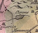 Clevens Loch in 1811.
No watermills seem to have been directly associated with Clevens Loch and the Ordnance Survey maps of the mid 19th century only show the farm of Clevens or Clevance sitting above the old loch's site.[5] Thomson's map of 1832 shows a Scullochmill near the Crossburn at the Clevance Farm roadend, however a straight lade runs directly to it from the hills above.
Cartographic evidence
Blaeu's map of 1654, dating from Timothy Pont's survey of circa 1604, shows the loch as a significant body of water, with an outflow only.[6]
Ainslie's map of 1821 is the last map to show Clevens Loch and this indicates that its drainage took place in the early 19th century. The outflow was via the Fullarton estate and into the sea at Newburn. Roy's map of 1747 shows a Cleavans Loch.[7]
- Views of the Clevens Loch site
-

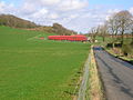
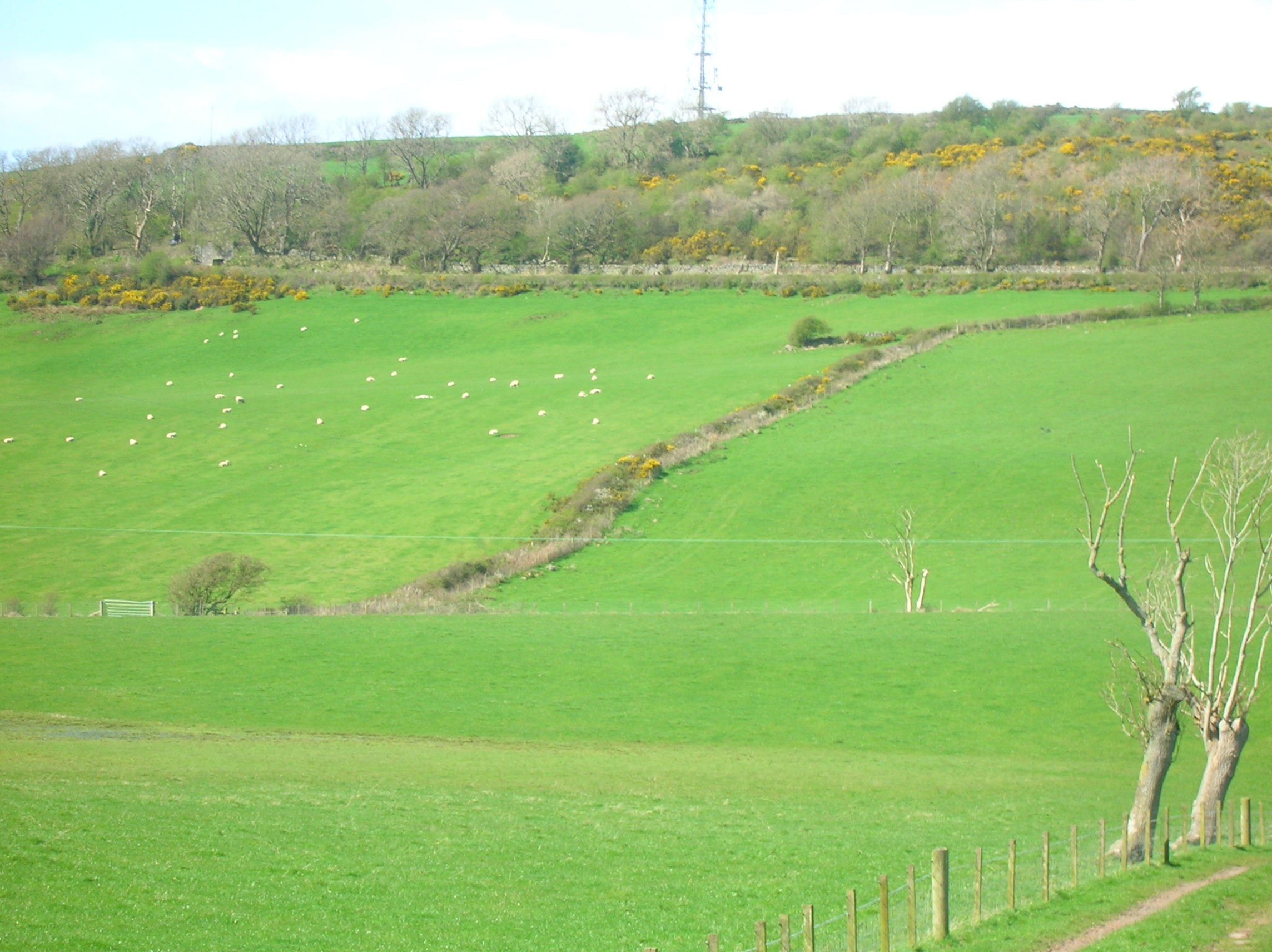
A spring fed burn running down to the loch site.
-

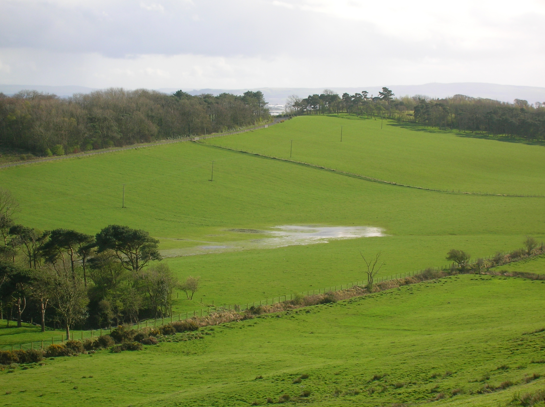
The loch site from Corraith.
-
The site of Clevens Loch looking towards Langholm Farm.
-
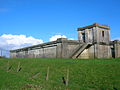
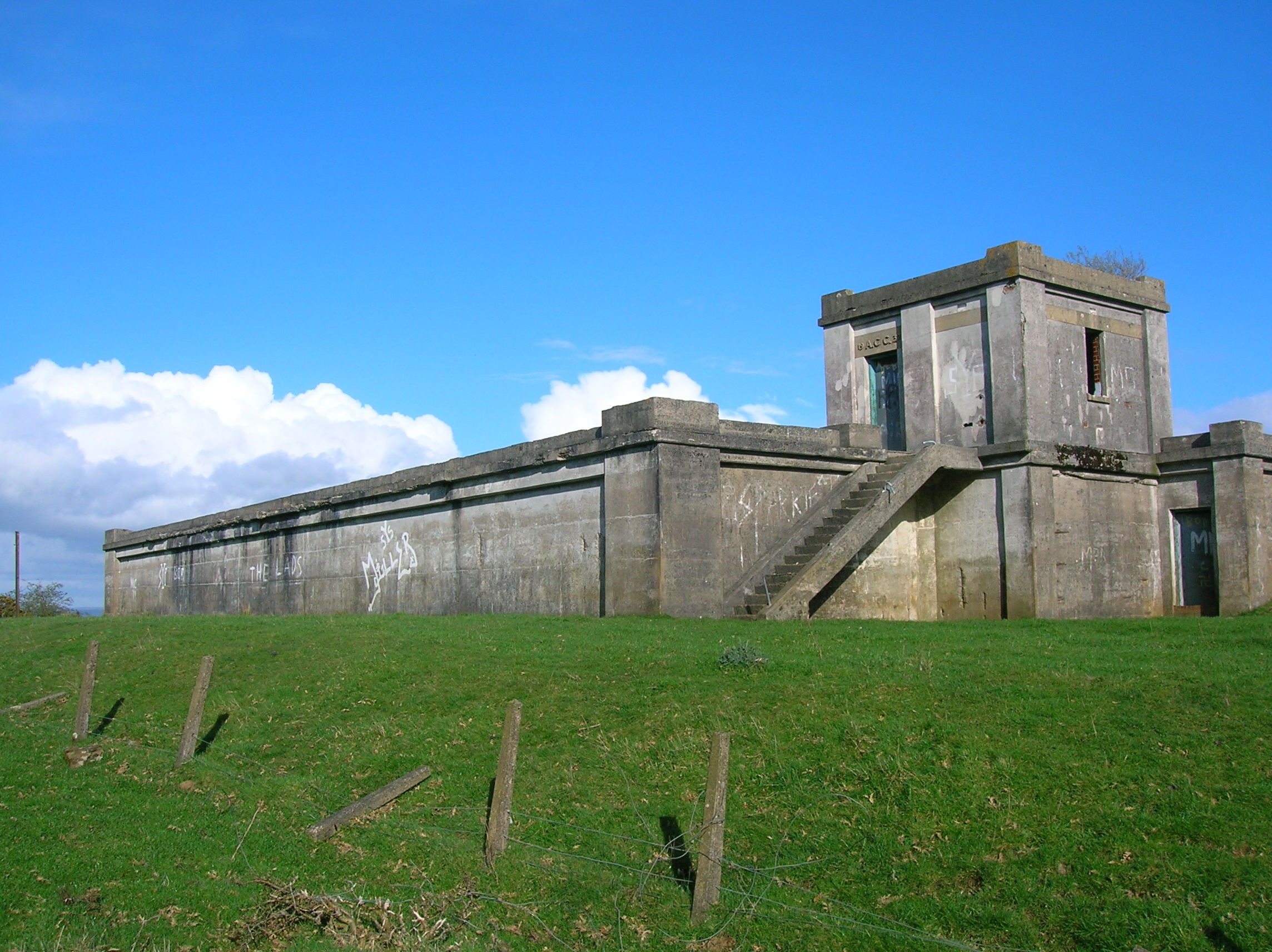
The old water tank above Langholm Farm.
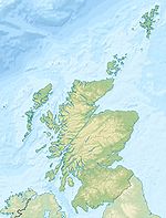
 Galrigs LochLocation of Clevens Loch, North Ayrshire
Micro-history
Corraith House stands in an elevavated position to the south of the old lochshore, recorded as 'Korreth' in 1654 and Corries in 1747. Above the loch on Wardlaw Hill are the remains of a 'citadel' fort or minor oppida, occupying the total summit plateau area., at about 145m OD, comprises an inner fort or settlement on the highest point of the plateau; it has a collapsed stone-built rampart and an entrance may have been positioned on the northern side. A ruined wall of a later date runs along the top of the rampart around the western half of the old fort.[8] The older OS maps indicate that a flow of spring water once ran down to the Slough Burn from the site of what became the Ayrshire County Council water tank built in 1932.
Adamson in his 'Rambles Round Kilmarnock' of 1875 records that on making his way from Symongton along the lane that ran near to the old loch he drank from an open well neatly built in, and bears the date 1821.[9]
References
- Notes
- ^ Gillespie, Page 114
- ^ Scots Dictionary Retrieved : 2011-04-17
- ^ Thomson's Map of 1828 retrieved : 2011-04-17
- ^ MacIntosh, Pages 37 & 39
- ^ 25 inch OS Map Retrieved : 2011-04-13
- ^ Blaeu's Map Retrieved : 2011-04-09
- ^ Roy's Map Retrieved : 2011-04-13
- ^ RCAHMS Retrieved : 2011-04-17
- ^ Adamson, Page 81
- Sources
- Adamson, Archibald R. (1875). Rambles Round Kilmarnock. Kilmarnock : T. Stevenson.
- Aiton, William (1811). General View of The Agriculture of the County of Ayr; observations on the means of its improvement; drawn up for the consideration of the Board of Agriculture, and Internal Improvements, with Beautiful Engravings. Glasgow.
- Gillespie, James H. Dundonald. A Contribution to Parochial History. Glasgow : John Wyllie.
- MacIntosh, Donald (2006). Travels in Galloway. Glasgow : Neil Wilson. ISBN 1-897784-92-9.
Categories:- Lochs of South Ayrshire
- History of South Ayrshire
- Former lochs


Wikimedia Foundation. 2010.