- Mongu
-
Mongu — City — Litunga's Winter Palace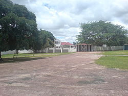 Location in Zambia
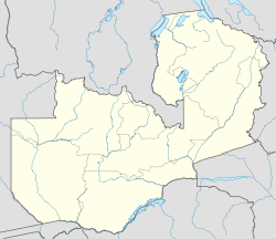
 Mongu
MonguCoordinates: 15°16′39″S 23°7′55″E / 15.2775°S 23.13194°E Country  Zambia
Admin. division Western Province Population (2000) - Total 44,310 For the LGA and town in Nigeria, see Mangu, Nigeria.Mongu is the capital of Western Province in Zambia and was the capital of the formerly-named province and historic state, Barotseland. Its population is 44,310 (2000 census), and it is also headquarters of Mongu District.
Contents
Geography
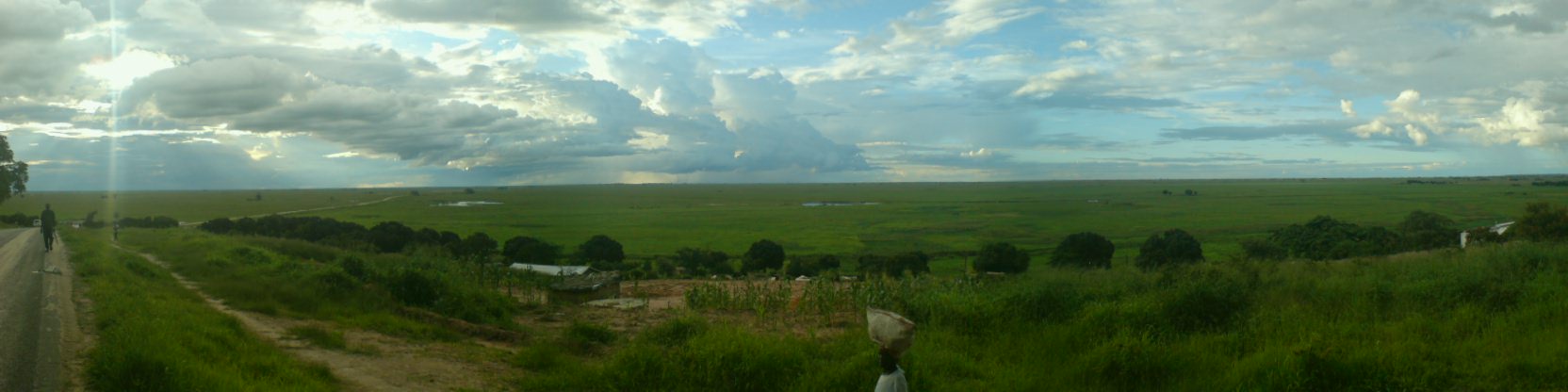
Mongu is situated on a small blunt promontory of higher ground on the eastern edge of the 30-kilometre-wide Barotse Floodplain of the Zambezi River running north-south, which in the wet season floods right up to the town. The city is 15 kilometres from the river's main channel, to which its small harbour is connected in the dry season by a 35-kilometre route via a canal and a meandering channel. The whole region is flat and sandy, with the dry land generally no more than 50 m higher than the floodplain.
Demographics
Mongu is the home city of the Lozi (or Barotse) people, who speak a language derived in part from that of the Makololo, related to the South African Sesotho language. The Lozi ruler, the Litunga, has a dry season palace 12 km north-west at Lealui on the floodplain, and a flood season palace on higher ground at Limulunga, 17 km north. The Kuomboka ceremony marks the court's transfer between the two locations.
Weather
The area has an annual average rainfall of 945 mm falling in the rainy season from late October to April. The flood usually arrives by January, peaks in April and is gone by June, leaving a floodplain green with new grass on which a population of about 250,000 moves in to graze a similar number of cattle, catch fish and raise crops in small gardens. Mongu is hot from September to December, with a mean maximum for October of 35.4°C, and cool from May to August, with a mean maximum in June of 26.9°C and a mean minimum of 10.3°C.
Ecology
Three ecoregions are represented in Mongu and its vicinity: the floodplain comprises Zambezian flooded grasslands, while the higher dry ground is a mosaic of Central Zambezian Miombo woodlands and Cryptosepalum dry forests. To the east the soil is very sandy and there are many pans which dry out in the dry season, and beyond the Lui River no surface water is available so this zone of scrubby miombo woodland is practically uninhabited as far east as the Luampa River.
 A panorama from Mongu
Economy
Mongu lies at the end of the 610-km Great West Road from Lusaka which takes takes 6–8 hours to drive. An ambitious plan to extend the road west to Kalabo by building the 46-km Barotse Floodplain causeway has stalled due to technical and funding problems, with the embankments mostly in place but not paved and finished.
The city is known for basket and carpet weaving. It produces the best mango and fish in the country, especially the tiger fish. Mongu is also the major rice growing region of Zambia.
It is also home to a cathedral and a water tower, while among the several shopping places and social places, the town has a large market and an airport. Mongu Airport is mainly used by the Zambian Airforce and the United Nations to transport Angolan Refugees back to Angola.
References
- General references
- Camerapix (1996). "Spectrum Guide to Zambia." Nairobi: Camerapix International Publishing. ISBN 1-874041-14-8.
- Terracarta/International Travel Maps, Vancouver Canada: "Zambia, 2nd edition", 2000.
- Google Earth has high-resolution photographs of Mongu.
- http://www.barotseland.com/
Categories:- Western Province, Zambia
- Provincial capitals in Zambia
- Populated places in Zambia
- Barotseland
- Zambezi River


Wikimedia Foundation. 2010.