- Chimrawas
-
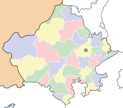
Chimrawas — city — Coordinates 24°56′10″N 71°29′17″E / 24.936°N 71.488°ECoordinates: 24°56′10″N 71°29′17″E / 24.936°N 71.488°E Country India State Rajasthan District(s) Jalor Time zone IST (UTC+05:30) Codes-
• Pincode • 343041
Website en.wikipedia.com/wiki/Chimrawas Chimrawas is a village in tehsil Sanchore in Jalore district of Rajasthan, India. The majority of the population are Bishnoi. The main exports of the village are milk production and agriculture
Contents
Political
Current Surpanch: Hindu Singh
Demographics
The most important being Shree Guru Jambheshwar Mandir.
Education
Education institute in this village are followings:-
- Govt. School (Upper primary)
- Private School (Upper Primary)
Crops
The farmers are getting many type of crops.
- bajra (Pennisetum glaucum) :- bajra is the most widely grown type of millet.
- bajra is the main food of this village
- Jeera (Cuminum cyminum):- Jeera
Geography
Chimrawas is located at 24°56′N 71°29′E / 24.94°N 71.48°E.
Categories:- Jalore district
- Villages in Jalore district
- Rajasthan geography stubs
-
Wikimedia Foundation. 2010.


