- Cheyney (SEPTA station)
-
Cheyney
SEPTA regional rail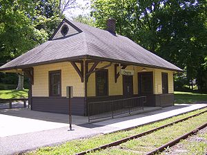
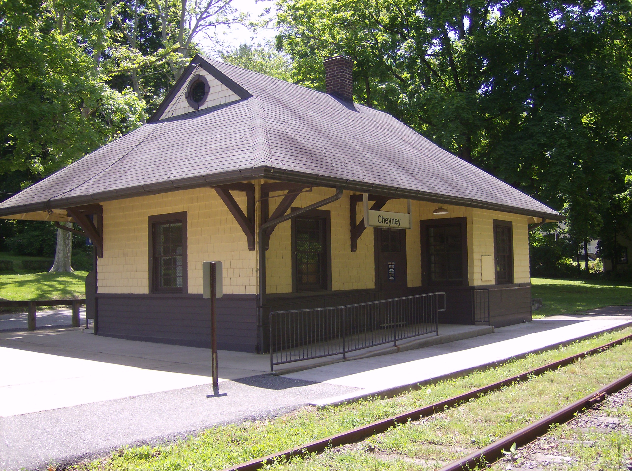
Cheyney Station depot, circa 2010;
SEPTA signage hangs from canopy.Station statistics Address Station Road
Thornbury Township, Pennsylvania.Coordinates 39°55′51″N 75°31′07″W / 39.9307°N 75.5187°WCoordinates: 39°55′51″N 75°31′07″W / 39.9307°N 75.5187°W Lines Media/Elwyn LineStructure Wooden frame structure Levels 1 Platforms 1 side platform Tracks 1 Parking yes Other information Closed 1986 Electrified 1928 Owned by SEPTA Formerly Pennsylvania Railroad Services Preceding station SEPTA Following station Westtown(closed 1986)toward West ChesterMedia/Elwyn Line West ChesterLocksley(closed 1986)toward Temple UniversityCheyney is a train station located on Station Road in Thornbury Township, Pennsylvania. The station was a stop on the Pennsylvania Railroad's (PRR) West Chester Line. It later became a part of SEPTA's R3 West Chester line.
SEPTA discontinued regular passenger service in September 1986, due to deteriorating track conditions and Chester County's desire to expand facilities at Exton Station on SEPTA's Paoli/Thorndale Line. Service was restored by the West Chester Railroad in 1997, a privately owned and operated heritage railway that operates between Glen Mills and West Chester on weekends.
History
Originally called Cheyney's Shops Station, the station was originally located in a brick structure (now a private residence) that still stands on Station Road just east of Cheyney Road. The current station building is home to the Cheyney Post Office. The original "Cheyney's Shops" dated from the late 18th century and were located on the north west and north east corners of the intersection of Creek and Cheyney Roads. The original Cheyney Post Office was located there.
William Cheyney was the first postmaster in 1835. When the railroad came through Cheyney, the post office was moved to Station Road. There are old maps that show "Cheyney" to be located at the intersection of Creek and Cheyney Roads. All the newer maps show the location of "Cheyney" to be on Station Road.
The last remaining portion of the Cheyney's Shops are on the north east corner of Creek and Cheyney Roads. Cheyney University tore down all the original buildings located on the north west corner in the late 1960s or early 1970s. This group of buildings consisted of a Hotel, General Store/Post Office and Blacksmiths shop as well as a large bank barn. A stone Wheelwrights shop and two other related original buildings are located on the opposite corner and still survive today.
External links
Categories:- Railway stations closed in 1986
- SEPTA Regional Rail stations
- Stations along Philadelphia, Baltimore and Washington Railroad lines
- Stations along Pennsylvania Railroad lines
- Defunct railway stations in the United States
- Pennsylvania railway station stubs
- SEPTA stubs
Wikimedia Foundation. 2010.