- Harthope Moss
-
Harthope Moss Location of Harthope Moss Elevation 627 m (2,057 ft) Traversed by B road Location Location St John's Chapel, County Durham, &
Langdon Beck, Upper Teesdale, County Durham,
 England
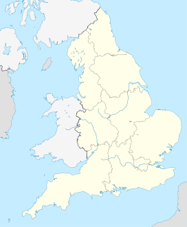
Coordinates 54°42′33″N 2°12′57″W / 54.7093°N 2.2157°WCoordinates: 54°42′33″N 2°12′57″W / 54.7093°N 2.2157°W Harthope Moss (also known as Chapel Fell) (el. 627 m.) is a mountain pass in the English Pennines. The pass divides Weardale to the east and Cumbria to the west. The minor (B) road over the pass, connects the (A689) at St John's Chapel, County Durham with Langdon Beck in Upper Teesdale, County Durham and Alston, Cumbria. It is the equal highest paved pass in England with the Killhope Cross approximately 10 miles to the north, on the other side of Burnhope Seat (747 m).
See also
- List of highest paved roads in Europe
- List of mountain passes
External links

This United Kingdom location article is a stub. You can help Wikipedia by expanding it.

