- Chandrashila
-
Chandrashila 
Elevation 4,000 m (13,123 ft) Location Location in northern India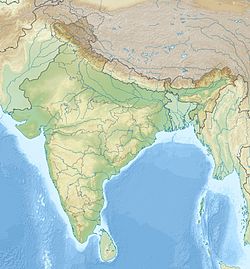
 Chandrashila
Location Uttarakhand,  India
IndiaRange Garhwal Himalaya Coordinates 30°29′17″N 79°13′17″E / 30.48806°N 79.22139°ECoordinates: 30°29′17″N 79°13′17″E / 30.48806°N 79.22139°E Chandrashila is summit of the Tungnath . It literally means "Moon Rock". It is located at a height of about 4,000 metres (13,000 ft) above sea level. This peak provides a spectacular view of Himalayas,especially Nandadevi, Trisul, Kedar Peak, Bandarpunch and Chaukhamba peaks. There are various legends associated with this place. According to one of the popular legend, this is the place where Lord Rama meditated after defeating the demon-king Ravana.Another legend says that moon-god Chandra spent time here in penance.
Contents
Accessibility
Bus can be directly taken up to Okhimath or Gopeshwar from Haridwar or Dehradun which takes about 10 hours to reach from there to Chopta hiring a jeep or shared basis.
Another possible route is through Haridwar, Rudraprayag then Ukhimath finally to Chopta.
From Chopta it is a 6 km trek.
Trekking
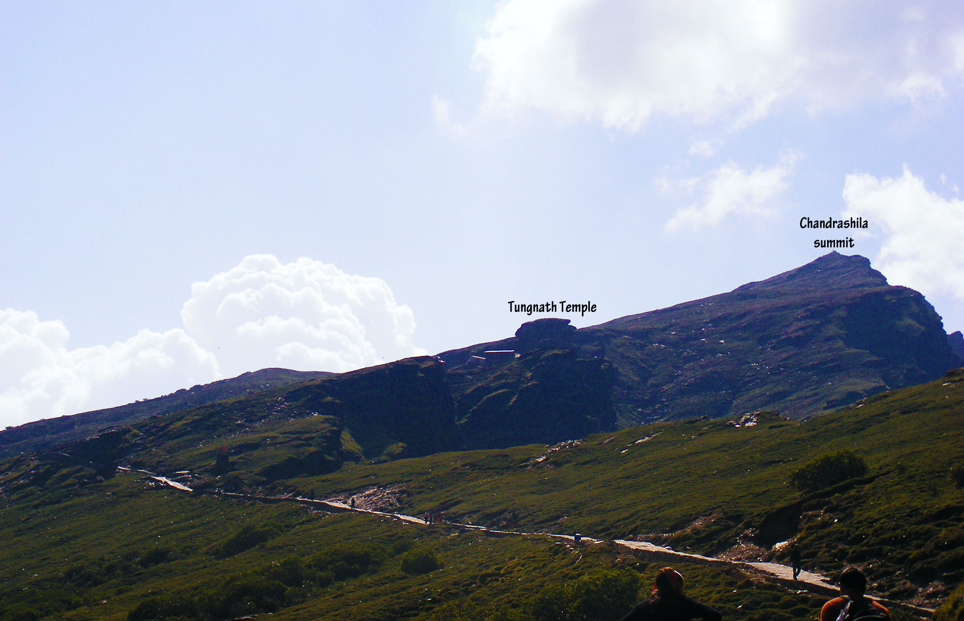
Chandrashila trek is one of the popular treks among Indian trekking enthusiast. The trek to the peak is of 5 km. The trek route that starts from Chopta takes one to Tungnath (highest Shiva temple in the World), from here it is a Km long steep trek. Though shorter in the distance, steep climbing makes this trek rigorous.
This trek is undertaken throughout the year although during winter season due to snowfall this trek becomes hard as road to chopta gets closed. Trekkers use a different route during this period (deoria Tal - Duggalbitta - Tungnath - Chandrashila).[1]
Pictures of Chandrashila
-
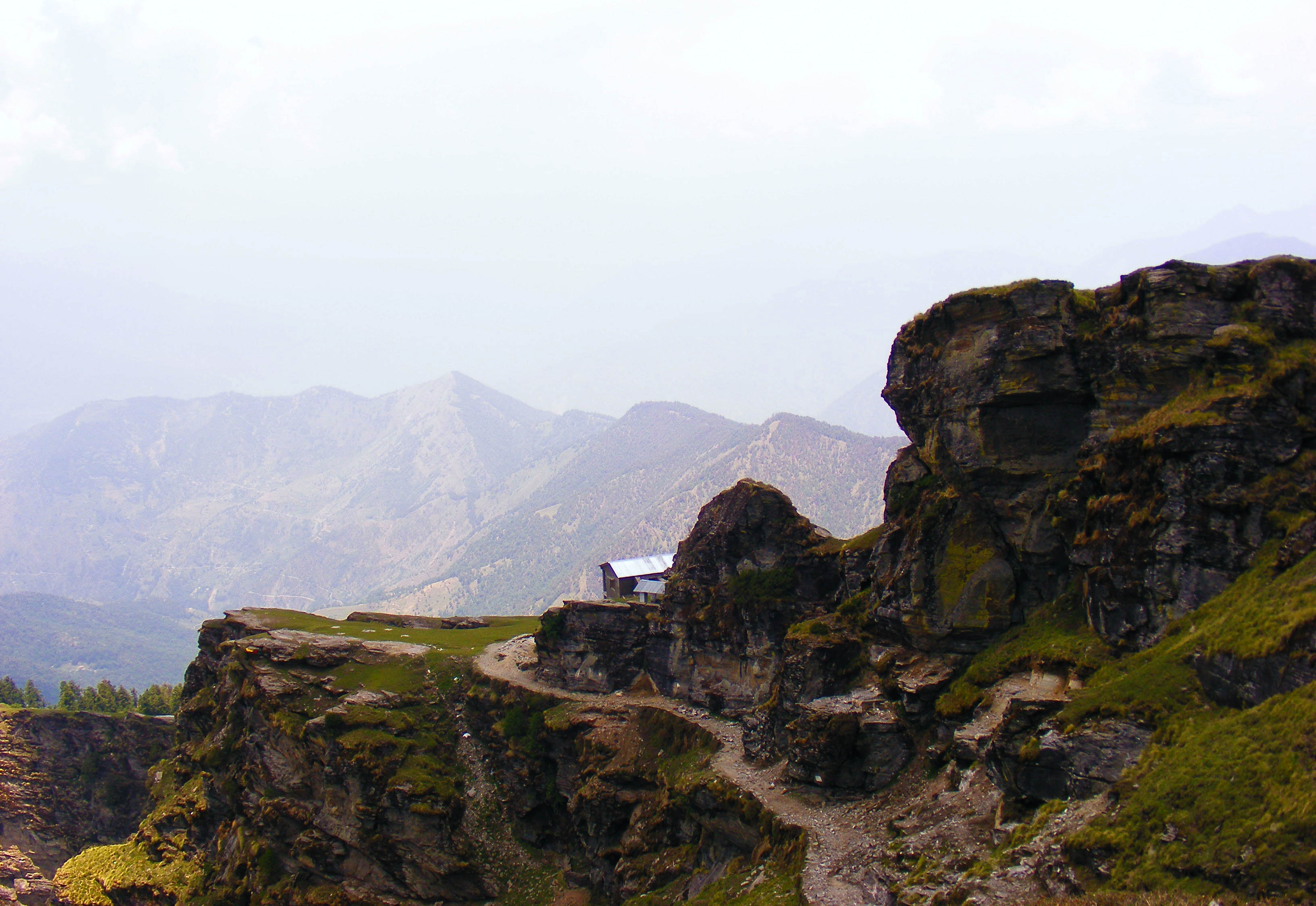
Temple at Chandrashila Summit
-
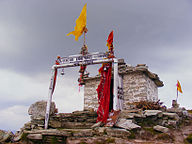
Route from Tungnath to Chandrashila
-
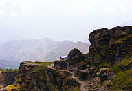
Flowering In Chandrashila Peak
-

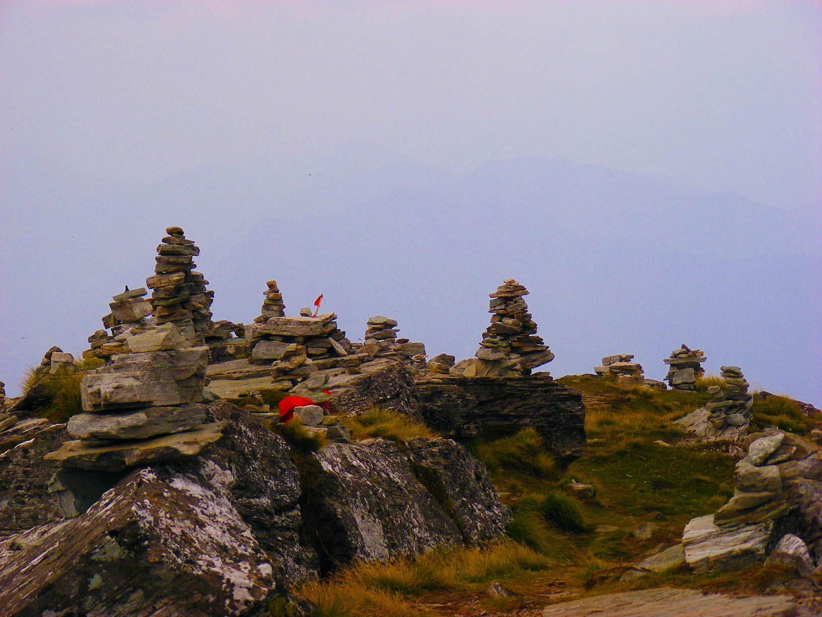
Cairn on Chandrashila Peak
-

Hight Altitude Mountain Mouse at Chandrashila
-
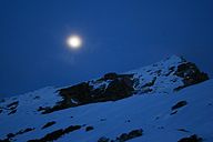
Chandra (Moon) shining over Chandrashila and Tungnath
-

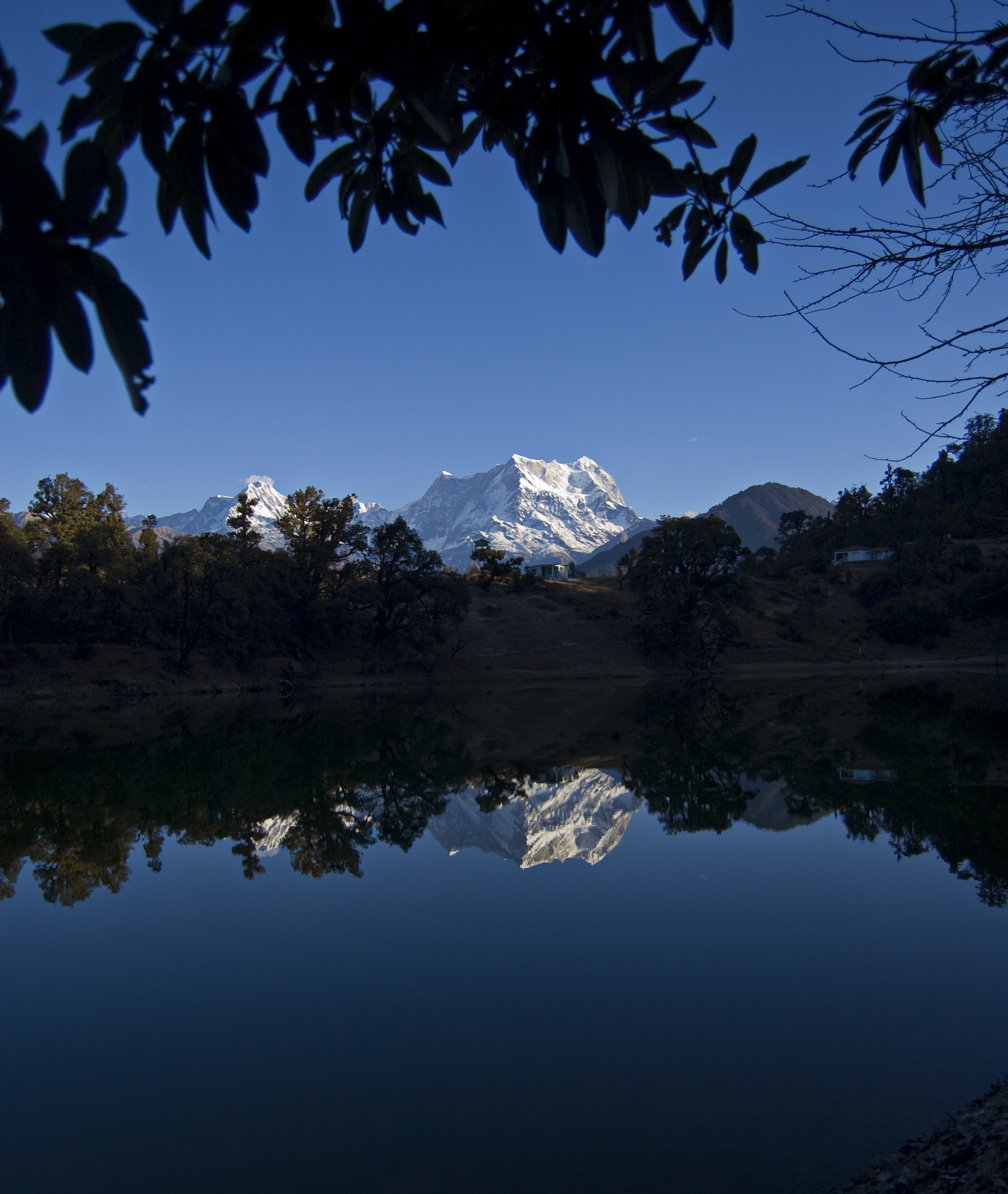
Deoria Tal/ Lake in Chandrashila Peak
See also
References
Categories:- Uttarakhand geography stubs
- Mountains of Uttarakhand
-


Wikimedia Foundation. 2010.