- Champotón, Campeche
-
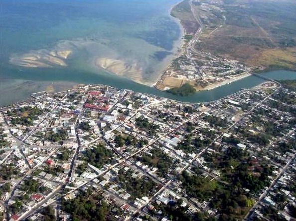
Champotón — City — Aerial panoramic
 Champotón
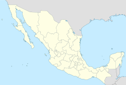
Coordinates: 19°21′N 90°43′W / 19.35°N 90.717°WCoordinates: 19°21′N 90°43′W / 19.35°N 90.717°W Country  Mexico
State  Campeche
Municipality Champotón City Founded 1538 Government – Mayor Xicoténcatl González Hernández (PRI) Elevation 10 m (33 ft) Population (2005) – Total 27,235 – Demonym Champotonero Time zone Central Standard Time – Summer (DST) Central Daylight Time (UTC) Area code(s) 982 Website http://www.champoton.gob.mx/ Champotón is a small city in Champotón Municipality in the Mexican state of Campeche, located at 19°21′N 90°43′W / 19.35°N 90.72°W, about 60 km south of the city of Campeche where the small Champotón river meets the coast of the Gulf of Mexico. At the 2005 census it had a population of 27,235, the third-largest community in the state (behind Campeche and Ciudad del Carmen, and just barely ahead of Escárcega).
Champotón, historically also called Chakanputun and Chanputun, was a city of the Maya civilization dating back to at least the 10th century before it was conquered by Spain in the 16th century. There the famous battle "Mala Pelea" occurred. In the first Spanish exploration (1517) they were defeated by the mayas.
Photo gallery
-

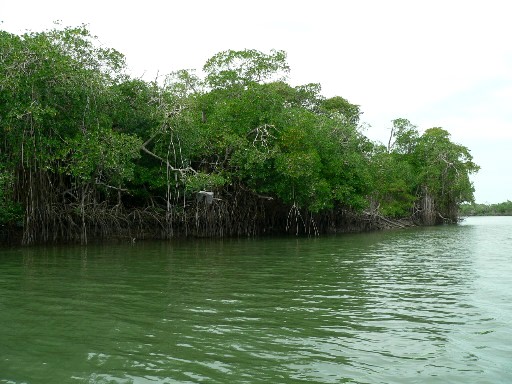
Champotón River
-
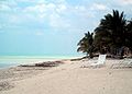
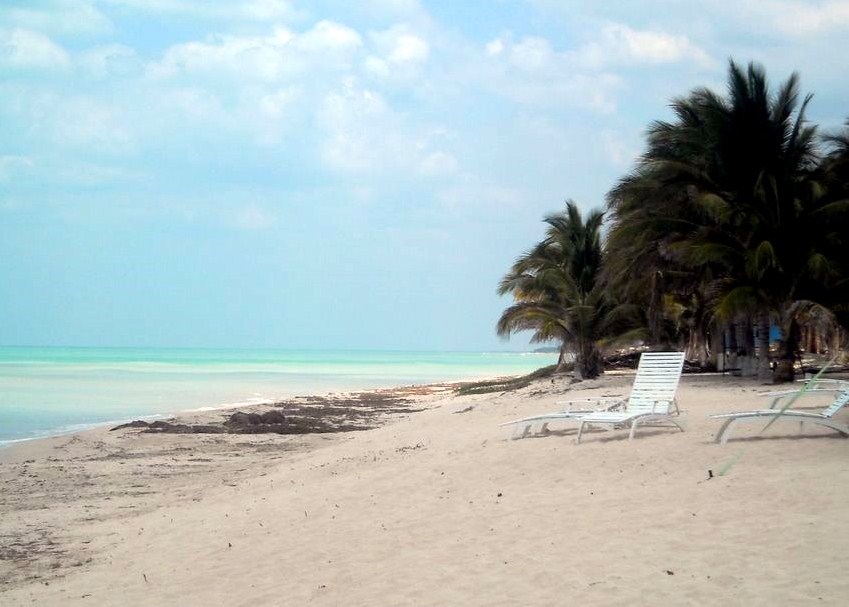
Chenkán Beach
References
- Link to tables of population data from Census of 2005 INEGI: Instituto Nacional de Estadística, Geografía e Informática
- Campeche Enciclopedia de los Municipios de México
External links
- Municipio de Champotón Official website
- Información, fotos, vídeos y gente de Champotón
Municipalities
and
(municipal seats)Calkiní (Calkiní) · Campeche (Campeche) · Carmen (Ciudad del Carmen) · Champotón (Champotón) · Hecelchakán (Hecelchakán) · Hopelchén (Hopelchén) · Palizada (Palizada) · Tenabo (Tenabo) · Escárcega (Escárcega) · Calakmul (Xpujil) · Candelaria (Candelaria)
 Categories:
- Populated places in Campeche
- Mexico geography stubs
-


Wikimedia Foundation. 2010.