- Cerro Pedernal
-
Cerro Pedernal 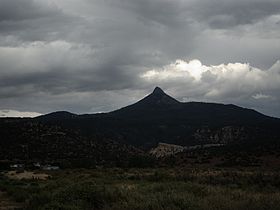
From near Coyote, New Mexico, in summer monsoon weatherElevation 9,862 ft (3,006 m) Location Location Rio Arriba County, New Mexico, USA Range Jemez Mountains Coordinates 36°09′36″N 106°30′05″W / 36.16°N 106.50139°WCoordinates: 36°09′36″N 106°30′05″W / 36.16°N 106.50139°W Topo map USGS Youngsville (NM) Cerro Pedernal, locally known as just "Pedernal", is a narrow mesa in northern New Mexico. The name is Spanish for "flint hill". The mesa lies on the north flank of the Jemez Mountains, south of Abiquiu Lake, in the Española Ranger District of the Santa Fe National Forest. Its caprock was produced in the Jemez Volcanic Field. Its highest point is 9,862 feet (3,006 meters).
Pedernal is the source of a chert used by the prehistoric Gallina people. Its cliffs are popular with rock climbers. Georgia O'Keeffe made many paintings of it, and her ashes were scattered on its top.[1]
References
- ^ Gómez, Art (2004), New Mexico: Images of a Land and its People, UNM Press, p. 61, ISBN 0-8263-3257-9, http://books.google.com/books?id=7PzQbbRUM-IC&pg=PA61, retrieved 2011-08-06
External links
- Mountains.com climbing review with photos
- New Mexico Bureau of Geology and Mineral Resources: Cerro Pedernal
- Summitpost.org: Cerro Pedernal
-
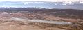
View from summit in winter
-
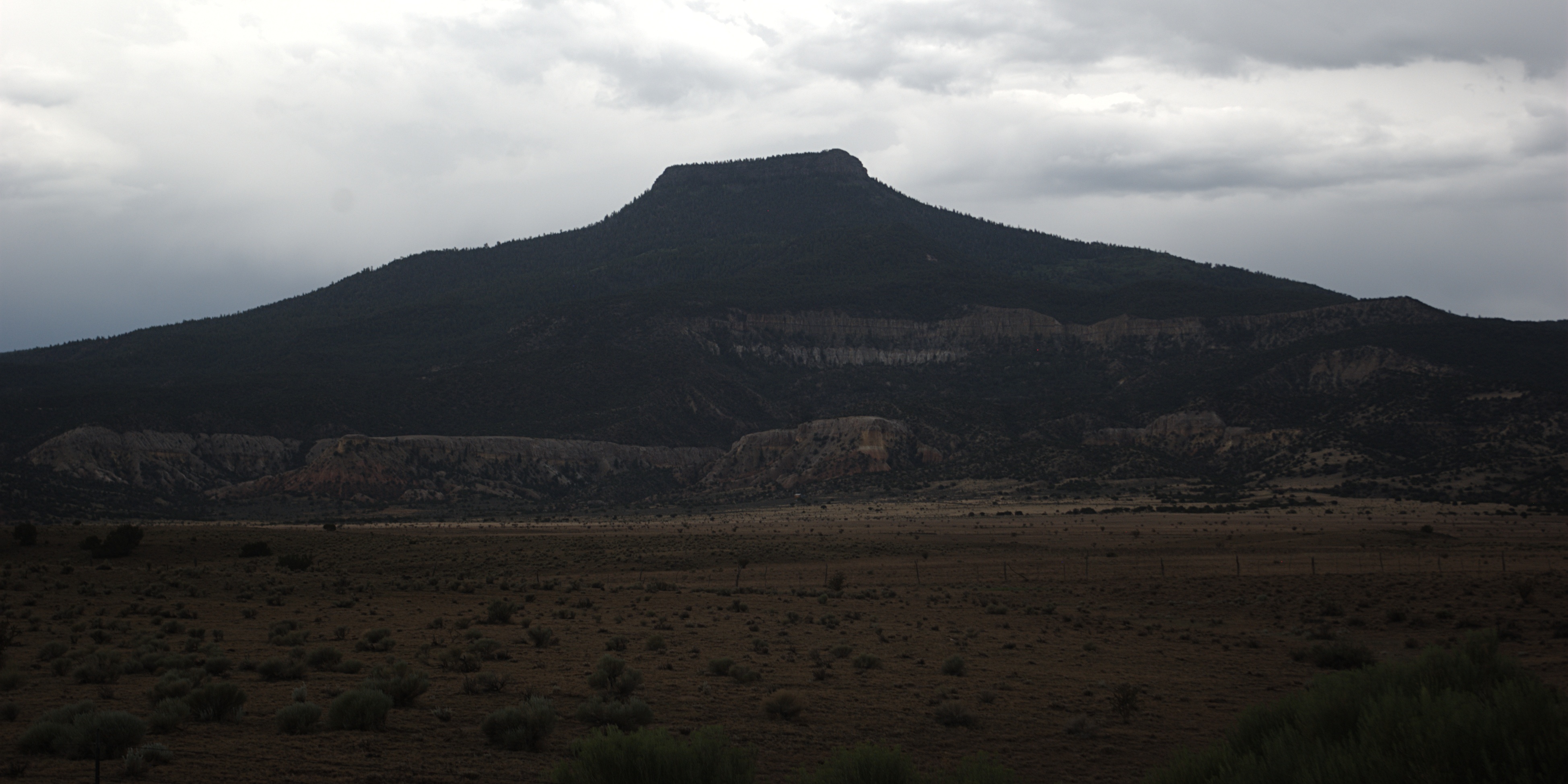
From Youngsville, New Mexico, also in monsoon weather
Categories:- Jemez Mountains
- Landforms of Rio Arriba County, New Mexico
- Mesas of New Mexico
- Visitor attractions in Rio Arriba County, New Mexico
- Climbing areas of the United States
- New Mexico geography stubs

Wikimedia Foundation. 2010.